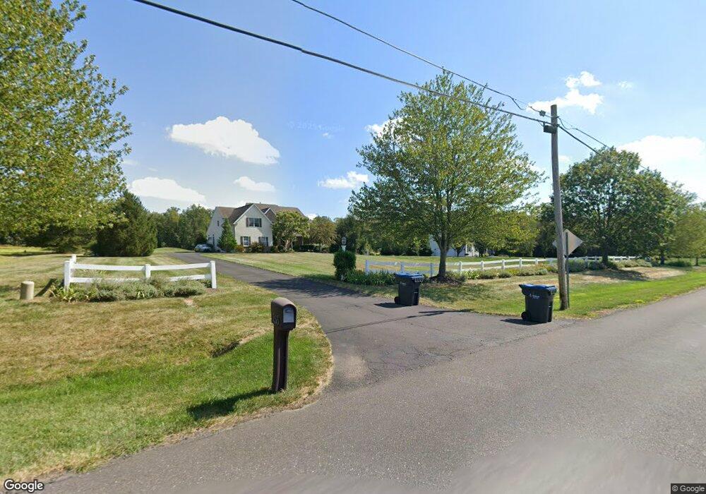
255 Walter Rd Chalfont, PA 18914
Estimated Value: $983,000 - $1,256,000
4
Beds
3
Baths
4,425
Sq Ft
$247/Sq Ft
Est. Value
About This Home
This home is located at 255 Walter Rd, Chalfont, PA 18914 and is currently estimated at $1,093,755, approximately $247 per square foot. 255 Walter Rd is a home located in Bucks County with nearby schools including Simon Butler Elementary, Unami Middle School, and Central Bucks High School - South.
Ownership History
Date
Name
Owned For
Owner Type
Purchase Details
Closed on
Mar 29, 2002
Sold by
Prime Properties Inc
Bought by
Pavlik William and Pavlik Tracy
Current Estimated Value
Home Financials for this Owner
Home Financials are based on the most recent Mortgage that was taken out on this home.
Original Mortgage
$440,910
Outstanding Balance
$169,698
Interest Rate
4.62%
Mortgage Type
Construction
Estimated Equity
$924,057
Create a Home Valuation Report for This Property
The Home Valuation Report is an in-depth analysis detailing your home's value as well as a comparison with similar homes in the area
Home Values in the Area
Average Home Value in this Area
Purchase History
| Date | Buyer | Sale Price | Title Company |
|---|---|---|---|
| Pavlik William | $160,000 | -- |
Source: Public Records
Mortgage History
| Date | Status | Borrower | Loan Amount |
|---|---|---|---|
| Open | Pavlik William | $440,910 |
Source: Public Records
Tax History Compared to Growth
Tax History
| Year | Tax Paid | Tax Assessment Tax Assessment Total Assessment is a certain percentage of the fair market value that is determined by local assessors to be the total taxable value of land and additions on the property. | Land | Improvement |
|---|---|---|---|---|
| 2025 | $10,686 | $61,660 | $11,500 | $50,160 |
| 2024 | $10,686 | $61,660 | $11,500 | $50,160 |
| 2023 | $10,346 | $61,660 | $11,500 | $50,160 |
| 2022 | $10,141 | $61,660 | $11,500 | $50,160 |
| 2021 | $10,027 | $61,660 | $11,500 | $50,160 |
| 2020 | $10,027 | $61,660 | $11,500 | $50,160 |
| 2019 | $9,903 | $61,660 | $11,500 | $50,160 |
| 2018 | $9,903 | $61,660 | $11,500 | $50,160 |
| 2017 | $9,826 | $61,660 | $11,500 | $50,160 |
| 2016 | $9,826 | $61,660 | $11,500 | $50,160 |
| 2015 | -- | $61,660 | $11,500 | $50,160 |
| 2014 | -- | $61,660 | $11,500 | $50,160 |
Source: Public Records
Map
Nearby Homes
- 105 Barry Rd
- 165 Township Line Rd
- 9 Barry Rd
- 94 Railroad Ave
- 115 Peggy Ln
- 0 N Limekiln Pike
- 4 Railroad Ave
- 193 Curley Mill Rd
- 113 Hamilton St
- 639 Chatham Ct
- 109 Upper Stump Rd
- 241 Coventry Rd
- 514 Windsor Ct
- 353 W Boulder Dr
- 201 Coventry Rd
- 300 Brookside Ct
- 326 Rocky Ct W Unit W
- The Brentwood Plan at Barclay Hill
- The Banbury Plan at Barclay Hill
- The Brookhaven Plan at Barclay Hill