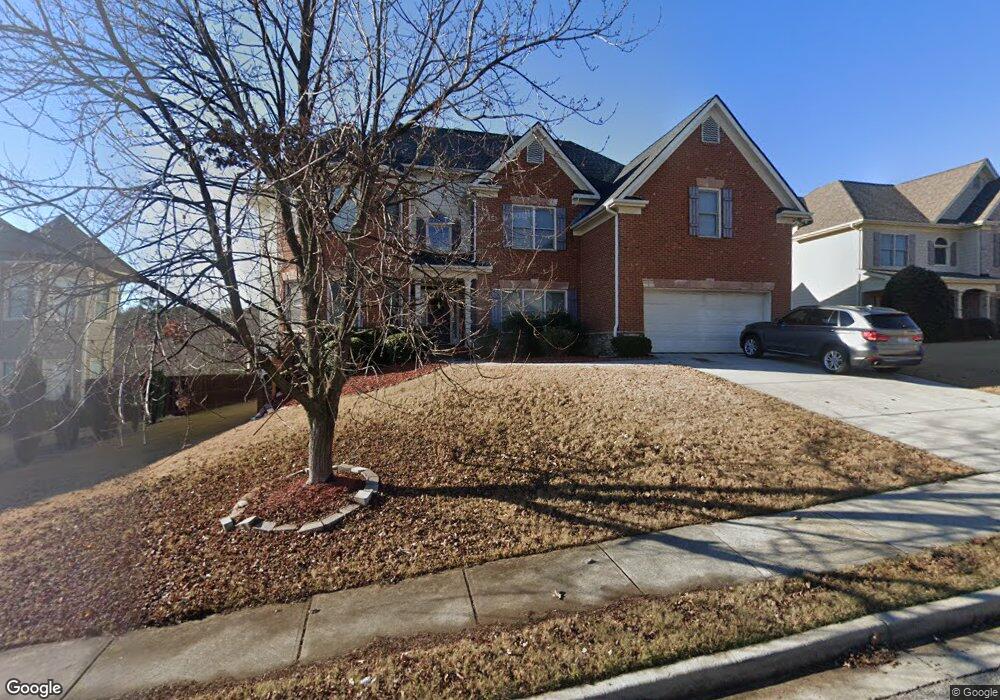
2550 Mossy Rock Place Buford, GA 30519
Estimated Value: $587,711 - $660,000
5
Beds
4
Baths
3,611
Sq Ft
$177/Sq Ft
Est. Value
About This Home
This home is located at 2550 Mossy Rock Place, Buford, GA 30519 and is currently estimated at $640,178, approximately $177 per square foot. 2550 Mossy Rock Place is a home located in Gwinnett County with nearby schools including Harmony Elementary School and Glenn C. Jones Middle School.
Ownership History
Date
Name
Owned For
Owner Type
Purchase Details
Closed on
Jul 11, 2008
Sold by
Magnolia Signature Homes Inc
Bought by
Rezk Hany S and Rezk Salwa M
Current Estimated Value
Home Financials for this Owner
Home Financials are based on the most recent Mortgage that was taken out on this home.
Original Mortgage
$271,000
Outstanding Balance
$171,971
Interest Rate
5.75%
Mortgage Type
New Conventional
Estimated Equity
$468,207
Create a Home Valuation Report for This Property
The Home Valuation Report is an in-depth analysis detailing your home's value as well as a comparison with similar homes in the area
Home Values in the Area
Average Home Value in this Area
Purchase History
| Date | Buyer | Sale Price | Title Company |
|---|---|---|---|
| Rezk Hany S | $345,000 | -- |
Source: Public Records
Mortgage History
| Date | Status | Borrower | Loan Amount |
|---|---|---|---|
| Open | Rezk Hany S | $271,000 |
Source: Public Records
Tax History Compared to Growth
Tax History
| Year | Tax Paid | Tax Assessment Tax Assessment Total Assessment is a certain percentage of the fair market value that is determined by local assessors to be the total taxable value of land and additions on the property. | Land | Improvement |
|---|---|---|---|---|
| 2024 | $6,551 | $209,200 | $33,600 | $175,600 |
| 2023 | $6,551 | $221,360 | $33,600 | $187,760 |
| 2022 | $6,773 | $221,360 | $33,600 | $187,760 |
| 2021 | $5,666 | $163,440 | $29,600 | $133,840 |
| 2020 | $5,704 | $163,440 | $29,600 | $133,840 |
| 2019 | $5,213 | $149,360 | $26,400 | $122,960 |
| 2018 | $5,224 | $149,360 | $26,400 | $122,960 |
| 2016 | $5,125 | $143,960 | $26,400 | $117,560 |
| 2015 | $4,936 | $135,360 | $18,400 | $116,960 |
| 2014 | $4,575 | $124,480 | $18,400 | $106,080 |
Source: Public Records
Map
Nearby Homes
- 2692 Bogan Creek Dr
- 2361 Black Bear Ct Unit 2
- 3685 Rolling Creek Dr
- 4041 Lost Mill Ln
- 3665 Mystic Dr Unit 2
- 2330 Chandler Grove Dr
- 2551 E Maddox Rd
- 2753 Blue Moon Dr Unit 4
- 3600 Devenwood Way
- 3775 Rolling Creek Dr
- 2550 Kilgore Rd
- 2551 Kilgore Rd
- 3765 Woodlawn Ct
- 3568 Foxworth Ct
- 4017 S South Bogan Rd
- 2101 E Maddox Rd
- 2183 Ivy Crest Dr
- 2560 Mossy Rock Place
- 2540 Mossy Rock Place
- 4125 Mossy Rock Ct
- 2515 Mossy Rock Place
- 2545 Mossy Rock Place
- 2570 Mossy Rock Place
- 0 Mossy Rock Place Unit 7507673
- 0 Mossy Rock Place Unit 7380516
- 0 Mossy Rock Place Unit 7134567
- 0 Mossy Rock Place Unit 8628533
- 0 Mossy Rock Place Unit 8341656
- 0 Mossy Rock Place Unit 8232983
- 0 Mossy Rock Place Unit 8069509
- 0 Mossy Rock Place Unit 8430688
- 0 Mossy Rock Place Unit 3200853
- 2605 Mossy Rock Place
- 2617 Creek Rock Cir
- 2607 Creek Rock Cir
- 0 Creek Rock Cir Unit 7348078
- 0 Creek Rock Cir Unit 7284453