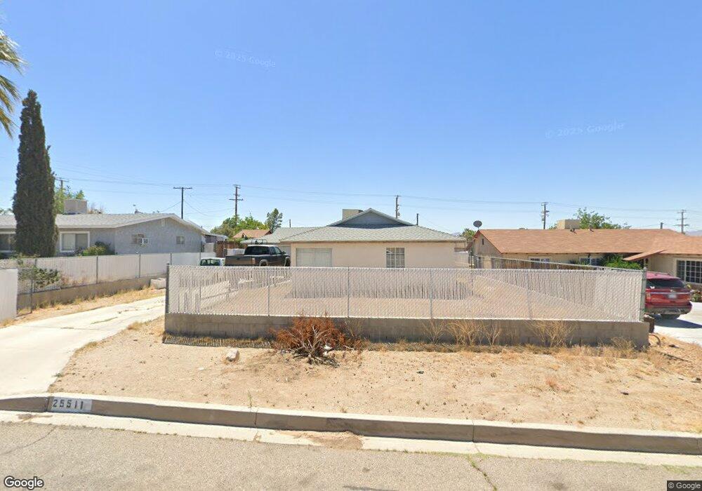
25511 Eaton St Barstow, CA 92311
Lenwood NeighborhoodEstimated Value: $243,000 - $270,000
4
Beds
2
Baths
1,121
Sq Ft
$227/Sq Ft
Est. Value
About This Home
This home is located at 25511 Eaton St, Barstow, CA 92311 and is currently estimated at $253,976, approximately $226 per square foot. 25511 Eaton St is a home located in San Bernardino County with nearby schools including Lenwood Elementary School, Barstow Junior High School, and Barstow High School.
Ownership History
Date
Name
Owned For
Owner Type
Purchase Details
Closed on
May 12, 2008
Sold by
Shipley Betty M
Bought by
Shipley Doug M
Current Estimated Value
Home Financials for this Owner
Home Financials are based on the most recent Mortgage that was taken out on this home.
Original Mortgage
$74,400
Interest Rate
5.88%
Mortgage Type
New Conventional
Create a Home Valuation Report for This Property
The Home Valuation Report is an in-depth analysis detailing your home's value as well as a comparison with similar homes in the area
Home Values in the Area
Average Home Value in this Area
Purchase History
| Date | Buyer | Sale Price | Title Company |
|---|---|---|---|
| Shipley Doug M | -- | First American Title |
Source: Public Records
Mortgage History
| Date | Status | Borrower | Loan Amount |
|---|---|---|---|
| Closed | Shipley Doug M | $74,400 |
Source: Public Records
Tax History Compared to Growth
Tax History
| Year | Tax Paid | Tax Assessment Tax Assessment Total Assessment is a certain percentage of the fair market value that is determined by local assessors to be the total taxable value of land and additions on the property. | Land | Improvement |
|---|---|---|---|---|
| 2025 | $1,793 | $82,665 | $15,619 | $67,046 |
| 2024 | $1,793 | $81,044 | $15,313 | $65,731 |
| 2023 | $1,188 | $79,455 | $15,013 | $64,442 |
| 2022 | $1,840 | $77,897 | $14,719 | $63,178 |
| 2021 | $1,487 | $76,369 | $14,430 | $61,939 |
| 2020 | $2,141 | $75,586 | $14,282 | $61,304 |
| 2019 | $1,736 | $74,104 | $14,002 | $60,102 |
| 2018 | $1,987 | $72,651 | $13,727 | $58,924 |
| 2017 | $1,311 | $71,227 | $13,458 | $57,769 |
| 2016 | $1,460 | $69,830 | $13,194 | $56,636 |
| 2015 | $1,870 | $68,781 | $12,996 | $55,785 |
| 2014 | $1,409 | $67,433 | $12,741 | $54,692 |
Source: Public Records
Map
Nearby Homes
- 0 Birch Rd Unit HD25134948
- 25478 Ash Rd
- 25498 Dayton Ave
- 25618 Tamarisk St
- 25607 Ash Rd
- 0 Tortoise Rd
- 25441 Main St
- 34150 Woods Ave
- 25642 Bejoal St
- 0 Ash Rd Unit 219130394DA
- 34186 Woods Ave
- 25633 Anderson Ave
- 25651 Anderson Ave
- 9 Jasper Rd
- 25617 Jasper Rd
- 25466 Jasper Rd
- 25544 Jasper Rd
- 34756 Birch Rd
- 34764 Birch Rd
- 34792 Cedar Rd
- 25503 Eaton St
- 25519 Eaton St
- 25497 Eaton St
- 25527 Eaton St
- 0 Birch Rd Unit SW17239175
- 0 Birch Rd Unit HD24086050
- 0 Birch Rd Unit HD23115482
- 0 Birch Rd Unit 535690
- 0 Birch Rd Unit 492033
- 0 Birch Rd Unit 506034
- 0 Birch Rd Unit SW18250664
- 25489 Eaton St
- 25508 Eaton St
- 25500 Eaton St
- 25518 Eaton St
- 25535 Eaton St
- 25494 Eaton St
- 25524 Eaton St
- 25518 3rd St
- 25481 Eaton St