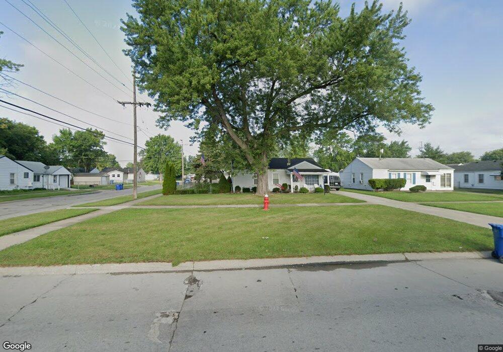
25515 Hayes Blvd Warren, MI 48089
Southeast Warren NeighborhoodEstimated Value: $155,000 - $179,000
3
Beds
2
Baths
1,327
Sq Ft
$124/Sq Ft
Est. Value
About This Home
This home is located at 25515 Hayes Blvd, Warren, MI 48089 and is currently estimated at $164,994, approximately $124 per square foot. 25515 Hayes Blvd is a home located in Macomb County with nearby schools including Warren Woods Tower High School.
Ownership History
Date
Name
Owned For
Owner Type
Purchase Details
Closed on
Sep 15, 2020
Sold by
Cleland Jeffrey S
Bought by
Cleland Jeffrey S and Cleland Heather I
Current Estimated Value
Purchase Details
Closed on
Jun 14, 2017
Sold by
Cleland Jeffrey Scott
Bought by
Cleland Alan Joseph and Cleland Heather Ilene
Purchase Details
Closed on
Nov 18, 2013
Sold by
Cleland Ferdinand J
Bought by
Cleland Ferdinand J and Ferdinand J Cleland Revocable Family Tru
Purchase Details
Closed on
Nov 26, 2008
Sold by
Cleland Ferdinand and Cleland June
Bought by
Cleland Ferdinand and Cleland June
Create a Home Valuation Report for This Property
The Home Valuation Report is an in-depth analysis detailing your home's value as well as a comparison with similar homes in the area
Home Values in the Area
Average Home Value in this Area
Purchase History
| Date | Buyer | Sale Price | Title Company |
|---|---|---|---|
| Cleland Jeffrey S | -- | None Available | |
| Cleland Alan Joseph | -- | None Available | |
| Cleland Jeffrey Scott | -- | None Available | |
| Cleland Ferdinand J | -- | Attorney | |
| Cleland Ferdinand J | -- | Attorney | |
| Cleland Ferdinand | -- | None Available |
Source: Public Records
Tax History Compared to Growth
Tax History
| Year | Tax Paid | Tax Assessment Tax Assessment Total Assessment is a certain percentage of the fair market value that is determined by local assessors to be the total taxable value of land and additions on the property. | Land | Improvement |
|---|---|---|---|---|
| 2025 | $1,907 | $80,600 | $0 | $0 |
| 2024 | $1,853 | $71,110 | $0 | $0 |
| 2023 | $1,750 | $59,480 | $0 | $0 |
| 2022 | $1,716 | $51,480 | $0 | $0 |
| 2021 | $1,684 | $47,930 | $0 | $0 |
| 2020 | $1,614 | $45,740 | $0 | $0 |
| 2019 | $1,542 | $45,700 | $0 | $0 |
| 2018 | $0 | $37,510 | $0 | $0 |
| 2017 | $2,589 | $35,330 | $5,310 | $30,020 |
| 2016 | $1,462 | $35,330 | $0 | $0 |
| 2015 | -- | $32,580 | $0 | $0 |
| 2013 | $1,413 | $27,650 | $0 | $0 |
Source: Public Records
Map
Nearby Homes
- 25297 Fortuna St
- 25603 Fortuna St
- 25221 Tecla Ave
- 25207 Fortuna St
- 25184 Tecla Ave
- 25173 Rosenbusch Blvd
- 14930 E 10 Mile Rd
- 25280 Dale St
- 25135 Dale St
- 14919 Shirley Ave
- 25239 Lehner St
- 14879 Shirley Ave
- 25754 Santina Ln Unit 18
- 25940 Lira Ln Unit 1
- 26070 Bryan St
- 25951 Lehner Ct
- 14948 Chesterfield Ave
- 24933 Grove Ave
- 25294 Wiseman St
- 25672 Wiseman St
- 25295 Hayes Blvd
- 25525 Hayes Blvd
- 25510 Rosenbusch Blvd
- 25287 Hayes Blvd
- 25520 Rosenbusch Blvd
- 25535 Hayes Blvd
- 25290 Rosenbusch Blvd
- 25530 Rosenbusch Blvd
- 25279 Hayes Blvd
- 25280 Rosenbusch Blvd
- 25574 Hayes Rd Unit Bldg-Unit
- 25574 Hayes Rd
- 25540 Rosenbusch Blvd
- 25617 Hayes Blvd
- 25584 Hayes Rd Unit Bldg-Unit
- 25584 Hayes Rd
- 25270 Rosenbusch Blvd
- 25500 Hayes Rd
- 25594 Hayes Rd
- 25271 Hayes Blvd