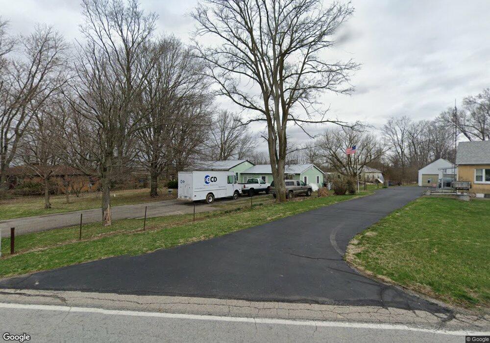
2552 S Tecumseh Rd Springfield, OH 45502
Estimated Value: $216,000 - $321,000
2
Beds
2
Baths
1,676
Sq Ft
$172/Sq Ft
Est. Value
About This Home
This home is located at 2552 S Tecumseh Rd, Springfield, OH 45502 and is currently estimated at $287,638, approximately $171 per square foot. 2552 S Tecumseh Rd is a home located in Clark County with nearby schools including Greenon Elementary School, Greenon Jr. High School, and Greenon High School.
Ownership History
Date
Name
Owned For
Owner Type
Purchase Details
Closed on
Dec 18, 2009
Sold by
Eldridge Warren S and Eldridge Dulce M
Bought by
Eldridge Warren S and Eldridge Dulce M
Current Estimated Value
Purchase Details
Closed on
Oct 30, 2007
Sold by
Eldridge Warren S and Eldridge Dulce M
Bought by
Eldridge Warren S and Eldridge Dulce M
Purchase Details
Closed on
May 6, 1997
Sold by
Ford Consumer Finance Co
Bought by
Eldridge Warren S and Eldridge Nannie M
Purchase Details
Closed on
Jan 16, 1997
Sold by
Shrf Robert D Myers Pr
Bought by
Ford Consumer Finance Co Inc
Create a Home Valuation Report for This Property
The Home Valuation Report is an in-depth analysis detailing your home's value as well as a comparison with similar homes in the area
Purchase History
| Date | Buyer | Sale Price | Title Company |
|---|---|---|---|
| Eldridge Warren S | -- | Attorney | |
| Eldridge Warren S | -- | Attorney | |
| Eldridge Warren S | -- | Attorney | |
| Eldridge Warren S | $60,000 | -- | |
| Ford Consumer Finance Co Inc | $50,000 | -- |
Source: Public Records
Tax History
| Year | Tax Paid | Tax Assessment Tax Assessment Total Assessment is a certain percentage of the fair market value that is determined by local assessors to be the total taxable value of land and additions on the property. | Land | Improvement |
|---|---|---|---|---|
| 2025 | $4,145 | $90,950 | $33,840 | $57,110 |
| 2024 | $4,048 | $76,960 | $35,100 | $41,860 |
| 2023 | $4,048 | $76,960 | $35,100 | $41,860 |
| 2022 | $4,044 | $76,960 | $35,100 | $41,860 |
| 2021 | $3,372 | $56,900 | $25,440 | $31,460 |
| 2020 | $3,380 | $56,900 | $25,440 | $31,460 |
| 2019 | $3,426 | $56,900 | $25,440 | $31,460 |
| 2018 | $2,957 | $47,980 | $23,320 | $24,660 |
| 2017 | $2,964 | $47,982 | $23,317 | $24,665 |
| 2016 | $2,585 | $47,982 | $23,317 | $24,665 |
| 2015 | $2,441 | $43,663 | $21,196 | $22,467 |
| 2014 | $2,446 | $43,663 | $21,196 | $22,467 |
| 2013 | $2,153 | $43,663 | $21,196 | $22,467 |
Source: Public Records
Map
Nearby Homes
- 2925 S Tecumseh Rd
- 4311 Lone Wolf Ave
- 3190 Rebert Pike
- 3183 Lower Valley Pike
- 62 Fay Dr
- 141 N Xenia Dr
- 3628-3642 Charlotte Dr
- 500 Doric Cir
- 3644-3650 Charlotte Dr
- 3611-3625 Charlotte Dr
- 1290 Red Oaks Cir
- 0 S Tecumseh Rd Unit 1042892
- 0 S Tecumseh Rd Unit 1042894
- 4638 W National Rd
- 4200 Phillips St
- 128 Ravenwood Dr
- 96 Eastwood Dr
- 5152 S Tecumseh Rd
- 4441 S Xenia Dr
- 2170 Fairfield Pike
- 2566 S Tecumseh Rd
- 2530 S Tecumseh Rd
- 2516 S Tecumseh Rd
- 2537 S Tecumseh Rd
- 2608 S Tecumseh Rd
- 2492 S Tecumseh Rd
- 2611 S Tecumseh Rd
- 2511 S Tecumseh Rd
- 2474 S Tecumseh Rd
- 2450 S Tecumseh Rd
- 2485 S Tecumseh Rd
- 2630 S Tecumseh Rd
- 2465 S Tecumseh Rd
- 2656 S Tecumseh Rd
- 2445 S Tecumseh Rd
- 2422 S Tecumseh Rd
- 2682 S Tecumseh Rd
- 2704 S Tecumseh Rd
- 2411 S Tecumseh Rd
- 2388 S Tecumseh Rd