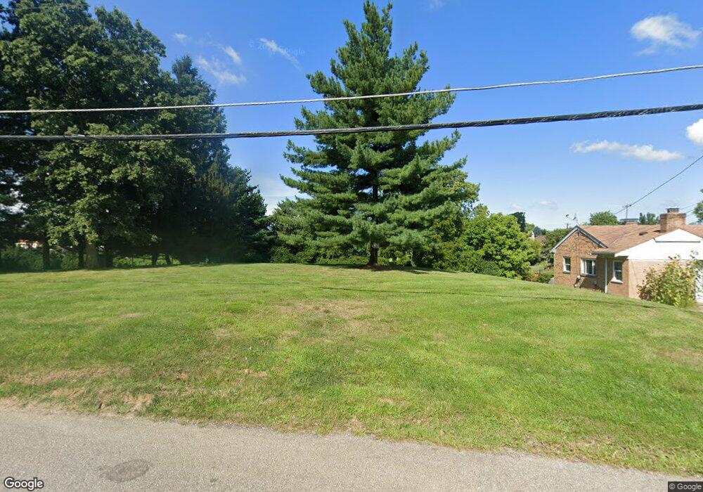
2553 Anderson Ferry Rd Cincinnati, OH 45238
Westwood NeighborhoodEstimated Value: $171,000 - $182,000
--
Bed
--
Bath
--
Sq Ft
0.47
Acres
About This Home
This home is located at 2553 Anderson Ferry Rd, Cincinnati, OH 45238 and is currently estimated at $176,500. 2553 Anderson Ferry Rd is a home located in Hamilton County with nearby schools including Midway Elementary School, Western Hills High School, and Gilbert A. Dater High School.
Ownership History
Date
Name
Owned For
Owner Type
Purchase Details
Closed on
Sep 13, 2010
Sold by
Bailey Albert V
Bought by
Truck Cab Manufacturers Inc
Current Estimated Value
Purchase Details
Closed on
Jul 10, 2010
Sold by
Bailey David W
Bought by
Bailey Albert
Purchase Details
Closed on
Jul 8, 2010
Sold by
Landthaler Constance L and Landthaler John
Bought by
Bailey Albert
Purchase Details
Closed on
Sep 13, 2005
Sold by
Estate Of Winona Bailey
Bought by
Bailey Albert and Bailey David W
Create a Home Valuation Report for This Property
The Home Valuation Report is an in-depth analysis detailing your home's value as well as a comparison with similar homes in the area
Home Values in the Area
Average Home Value in this Area
Purchase History
| Date | Buyer | Sale Price | Title Company |
|---|---|---|---|
| Truck Cab Manufacturers Inc | $85,000 | Attorney | |
| Bailey Albert | -- | Attorney | |
| Bailey Albert | -- | Attorney | |
| Bailey Albert | -- | Attorney | |
| Bailey Albert | -- | None Available |
Source: Public Records
Tax History Compared to Growth
Tax History
| Year | Tax Paid | Tax Assessment Tax Assessment Total Assessment is a certain percentage of the fair market value that is determined by local assessors to be the total taxable value of land and additions on the property. | Land | Improvement |
|---|---|---|---|---|
| 2024 | $570 | $8,484 | $8,484 | -- |
| 2023 | $571 | $8,484 | $8,484 | $0 |
| 2022 | $520 | $6,913 | $6,913 | $0 |
| 2021 | $501 | $6,913 | $6,913 | $0 |
| 2020 | $480 | $6,913 | $6,913 | $0 |
| 2019 | $502 | $6,283 | $6,283 | $0 |
| 2018 | $502 | $6,283 | $6,283 | $0 |
| 2017 | $482 | $6,283 | $6,283 | $0 |
| 2016 | $2,172 | $28,560 | $28,560 | $0 |
| 2015 | $1,943 | $28,560 | $28,560 | $0 |
| 2014 | $1,954 | $28,560 | $28,560 | $0 |
| 2013 | $2,068 | $29,750 | $29,750 | $0 |
Source: Public Records
Map
Nearby Homes
- 3291 Tulsa Ct
- 3373 Kathy Ln
- 2720 Anderson Ferry Rd
- 2197 Faywood Dr
- 2242 Fayhill Dr
- 2100 Faywood Dr
- 2710 Mountville Dr
- 3141 W Tower Ave
- 2113 Sylved Ln
- 1979 Faywood Dr
- 2231 Townhill Dr
- 5420 Fayridge Ct
- 5318 Sidney Rd
- 3212 Vittmer Ave
- 5276 Ponce Ln
- 3167 Westbrook Dr
- 5252 Relluk Dr
- 2925 Boudinot Ave
- 3531 Werk Rd
- 3088 Queen City Ave
- 2587 Anderson Ferry Rd
- 2591 Anderson Ferry Rd
- 3317 Robinet Dr
- 3297 Brater Ave
- 3321 Robinet Dr
- 2595 Anderson Ferry Rd
- 3293 Brater Ave
- 3325 Robinet Dr
- 3289 Brater Ave
- 3292 Brater Ave
- 3331 Robinet Dr
- 2603 Anderson Ferry Rd
- 3335 Robinet Dr
- 3288 Brater Ave
- 3316 Robinet Dr
- 3281 Brater Ave
- 3320 Robinet Dr
- 3284 Brater Ave
- 2600 Anderson Ferry Rd
- 3339 Robinet Dr