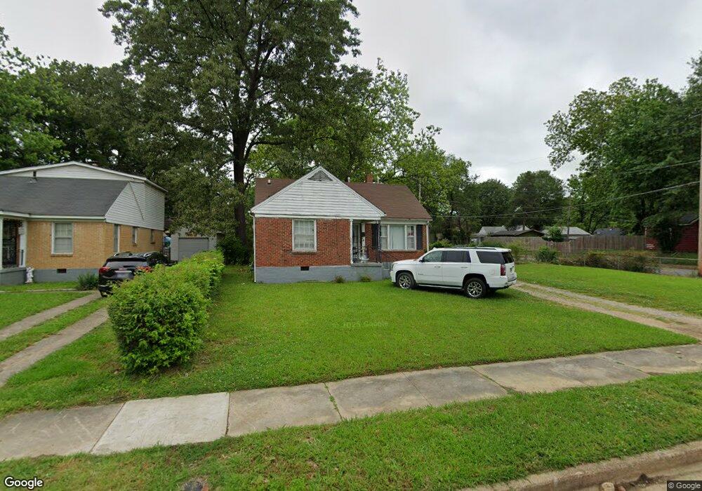
2554 Burns Ave Memphis, TN 38114
Southeast Memphis NeighborhoodEstimated Value: $76,265 - $86,000
3
Beds
1
Bath
1,287
Sq Ft
$62/Sq Ft
Est. Value
About This Home
This home is located at 2554 Burns Ave, Memphis, TN 38114 and is currently estimated at $79,316, approximately $61 per square foot. 2554 Burns Ave is a home located in Shelby County with nearby schools including Bethel Grove Elementary School, Sherwood Middle, and Melrose High School.
Ownership History
Date
Name
Owned For
Owner Type
Purchase Details
Closed on
Apr 29, 2015
Sold by
Story Pauline
Bought by
Harris Christopher
Current Estimated Value
Home Financials for this Owner
Home Financials are based on the most recent Mortgage that was taken out on this home.
Original Mortgage
$36,000
Outstanding Balance
$27,843
Interest Rate
3.79%
Mortgage Type
Purchase Money Mortgage
Estimated Equity
$51,473
Purchase Details
Closed on
Apr 14, 2011
Sold by
Roy Lerlene H
Bought by
Story Pauline
Create a Home Valuation Report for This Property
The Home Valuation Report is an in-depth analysis detailing your home's value as well as a comparison with similar homes in the area
Home Values in the Area
Average Home Value in this Area
Purchase History
| Date | Buyer | Sale Price | Title Company |
|---|---|---|---|
| Harris Christopher | $36,000 | None Available | |
| Story Pauline | $18,500 | None Available |
Source: Public Records
Mortgage History
| Date | Status | Borrower | Loan Amount |
|---|---|---|---|
| Open | Harris Christopher | $36,000 |
Source: Public Records
Tax History Compared to Growth
Tax History
| Year | Tax Paid | Tax Assessment Tax Assessment Total Assessment is a certain percentage of the fair market value that is determined by local assessors to be the total taxable value of land and additions on the property. | Land | Improvement |
|---|---|---|---|---|
| 2025 | $434 | $17,375 | $2,450 | $14,925 |
| 2024 | $434 | $12,800 | $1,125 | $11,675 |
| 2023 | $780 | $12,800 | $1,125 | $11,675 |
| 2022 | $780 | $12,800 | $1,125 | $11,675 |
| 2021 | $789 | $12,800 | $1,125 | $11,675 |
| 2020 | $654 | $9,025 | $1,125 | $7,900 |
| 2019 | $654 | $9,025 | $1,125 | $7,900 |
| 2018 | $654 | $9,025 | $1,125 | $7,900 |
| 2017 | $371 | $9,025 | $1,125 | $7,900 |
| 2016 | $426 | $9,750 | $0 | $0 |
| 2014 | $426 | $9,750 | $0 | $0 |
Source: Public Records
Map
Nearby Homes
- 2481 Browning Ave
- 2589 Browning Ave
- 2481 Kimball Ave
- 2585 Filmore Ave
- 2621 Dunn Ave
- 2637 Arlington Ave
- 2400 Kimball Ave
- 2764 Burns Ave
- 2727 Dunn Ave
- 2768 Burns Ave
- 2607 Barron Ave
- 2383 Lowell Ave
- 1609 Hugenot St
- 2421 Arlington Ave
- 2758 Smith Haven Dr
- 2763 Fizer Rd
- 2715 Donna Ave
- 1928 Brandon Cir
- 2126 Labelle St
- 0 Airways Blvd Unit 10199303
- 2548 Burns Ave
- 2568 Burns Ave
- 2542 Burns Ave
- 2555 Kimball Ave
- 2551 Kimball Ave
- 2574 Burns Ave
- 2545 Kimball Ave
- 2565 Kimball Ave
- 2536 Burns Ave
- 2553 Burns Ave
- 2541 Kimball Ave
- 2541 Burns Ave
- 2571 Kimball Ave
- 2578 Burns Ave
- 2549 Burns Ave
- 2567 Burns Ave
- 2535 Kimball Ave
- 2530 Burns Ave
- 2535 Burns Ave
- 2577 Kimball Ave