2555 David Rd McKinleyville, CA 95519
Estimated Value: $580,601 - $876,000
--
Bed
--
Bath
--
Sq Ft
5.01
Acres
About This Home
This home is located at 2555 David Rd, McKinleyville, CA 95519 and is currently estimated at $687,400. 2555 David Rd is a home located in Humboldt County with nearby schools including Dow's Prairie Elementary School, Morris Elementary School, and McKinleyville Middle School.
Ownership History
Date
Name
Owned For
Owner Type
Purchase Details
Closed on
Oct 1, 2014
Sold by
Behler Kimberly J
Bought by
Behler Family Trust
Current Estimated Value
Purchase Details
Closed on
Sep 4, 2007
Sold by
Hilligoss Dallas Theodore and Hilligoss Magnolia Mae
Bought by
Behler Kimberley Jay
Purchase Details
Closed on
Jan 30, 2004
Sold by
Bradford Kip R and Bradford Denise G
Bought by
Bradford Kip R and Bradford Denise G
Home Financials for this Owner
Home Financials are based on the most recent Mortgage that was taken out on this home.
Original Mortgage
$235,000
Interest Rate
5.8%
Mortgage Type
New Conventional
Create a Home Valuation Report for This Property
The Home Valuation Report is an in-depth analysis detailing your home's value as well as a comparison with similar homes in the area
Home Values in the Area
Average Home Value in this Area
Purchase History
| Date | Buyer | Sale Price | Title Company |
|---|---|---|---|
| Behler Family Trust | -- | None Available | |
| Behler Kimberly J | -- | None Available | |
| Behler Kimberley Jay | $530,000 | Fidelity Natl Title Co Of Ca | |
| Bradford Kip R | -- | Humboldt Land Title Company |
Source: Public Records
Mortgage History
| Date | Status | Borrower | Loan Amount |
|---|---|---|---|
| Previous Owner | Bradford Kip R | $235,000 |
Source: Public Records
Tax History Compared to Growth
Tax History
| Year | Tax Paid | Tax Assessment Tax Assessment Total Assessment is a certain percentage of the fair market value that is determined by local assessors to be the total taxable value of land and additions on the property. | Land | Improvement |
|---|---|---|---|---|
| 2025 | $4,392 | $384,585 | $240,367 | $144,218 |
| 2024 | $4,392 | $377,045 | $235,654 | $141,391 |
| 2023 | $4,308 | $369,653 | $231,034 | $138,619 |
| 2022 | $4,330 | $362,405 | $226,504 | $135,901 |
| 2021 | $4,131 | $355,300 | $222,063 | $133,237 |
| 2020 | $3,990 | $351,658 | $219,787 | $131,871 |
| 2019 | $3,964 | $344,764 | $215,478 | $129,286 |
| 2018 | $3,812 | $338,004 | $211,253 | $126,751 |
| 2017 | $3,715 | $331,377 | $207,111 | $124,266 |
| 2016 | $3,649 | $324,880 | $203,050 | $121,830 |
Source: Public Records
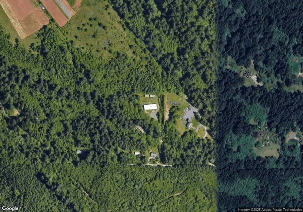
Map
Nearby Homes
- 038 Parcel Elizabeth Rd
- 1950 Norton Rd
- 1825 Dixie Ln
- 0 Central Ave Unit 267673
- Lot 19 Central Ave
- 3848 Dows Prairie Rd
- 2641 Avelar Ct
- 2580 Central Ave
- 1126 Killdeer Rd
- 1982 S Gwin Rd
- 1101 Gassaway Rd
- 1819 D Ave
- 1050 Seahome Ct
- 4155 Old Railroad Grade Rd
- 1090 Murray Rd
- 2257 Walnut Ave
- 4373 Central Ave
- 2973 Springer Dr
- 2937 Springer Dr
- 2910 Springer Dr
- 0 Robin Ln
- 2747 David Rd
- 2425 David Rd
- 0 David Rd
- 2746 Elizabeth Rd
- 2757 David Rd
- 2851 David Rd
- 2324 David Rd
- 2626 Elizabeth Rd
- 2473 Elizabeth Rd
- 2744 Elizabeth Rd
- 2853 David Rd
- 2695 Elizabeth Rd
- 2457 Elizabeth Rd
- 0 Murray Rd
- 2260 Hooven Rd
- 0 Elizabeth Rd
- 2677 Elizabeth Rd
- 2827 Elizabeth Rd
- 2151 Norton Rd