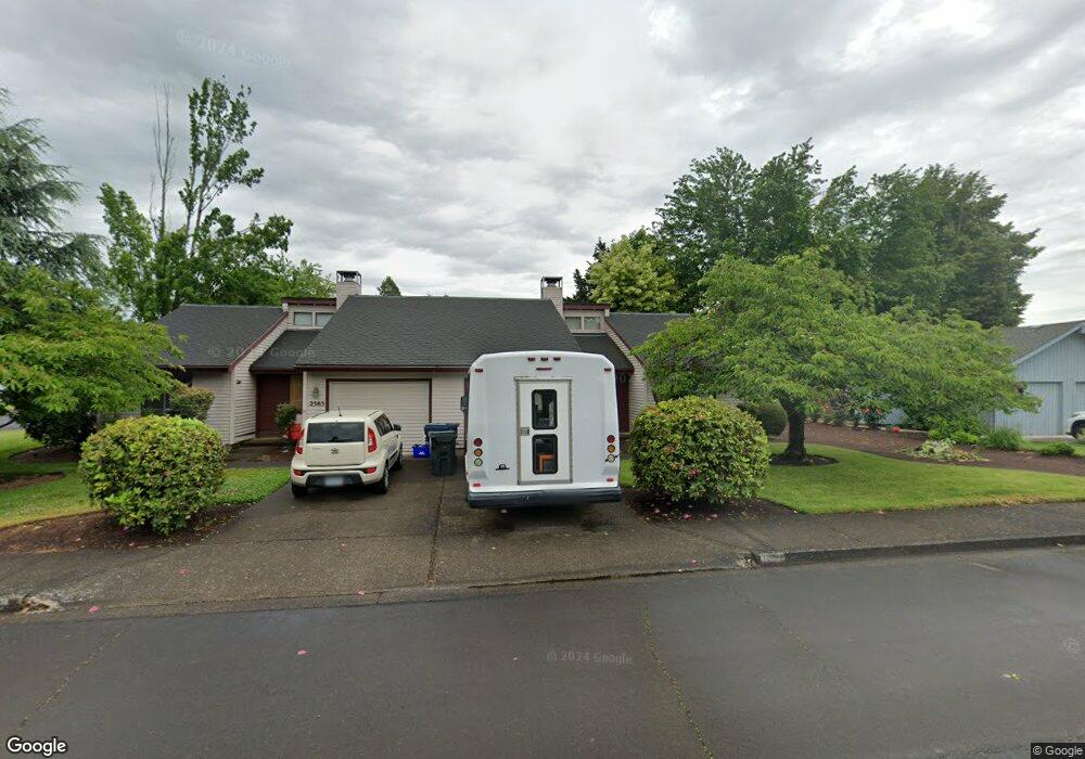
2555 Erin Way Eugene, OR 97408
Cal Young NeighborhoodEstimated Value: $544,223 - $619,000
4
Beds
2
Baths
2,020
Sq Ft
$287/Sq Ft
Est. Value
About This Home
This home is located at 2555 Erin Way, Eugene, OR 97408 and is currently estimated at $580,306, approximately $287 per square foot. 2555 Erin Way is a home located in Lane County with nearby schools including Gilham Elementary School, Cal Young Middle School, and Sheldon High School.
Ownership History
Date
Name
Owned For
Owner Type
Purchase Details
Closed on
Apr 13, 2023
Sold by
Martin James G and Martin Bonnie G
Bought by
Martin Family Trust
Current Estimated Value
Purchase Details
Closed on
Dec 13, 2007
Sold by
Ruhoff Rodney C and Ruhoff Nancy J
Bought by
Burger Russel E and Burger Lynn A
Home Financials for this Owner
Home Financials are based on the most recent Mortgage that was taken out on this home.
Original Mortgage
$916,000
Interest Rate
6.15%
Mortgage Type
Seller Take Back
Create a Home Valuation Report for This Property
The Home Valuation Report is an in-depth analysis detailing your home's value as well as a comparison with similar homes in the area
Home Values in the Area
Average Home Value in this Area
Purchase History
| Date | Buyer | Sale Price | Title Company |
|---|---|---|---|
| Martin Family Trust | -- | None Listed On Document | |
| Burger Russel E | $1,280,000 | Cascade Title Co |
Source: Public Records
Mortgage History
| Date | Status | Borrower | Loan Amount |
|---|---|---|---|
| Previous Owner | Burger Russel E | $916,000 |
Source: Public Records
Tax History
| Year | Tax Paid | Tax Assessment Tax Assessment Total Assessment is a certain percentage of the fair market value that is determined by local assessors to be the total taxable value of land and additions on the property. | Land | Improvement |
|---|---|---|---|---|
| 2025 | $6,228 | $319,653 | -- | -- |
| 2024 | $6,151 | $310,343 | -- | -- |
| 2023 | $6,151 | $301,304 | $0 | $0 |
| 2022 | $5,762 | $292,529 | $0 | $0 |
| 2021 | $5,412 | $284,009 | $0 | $0 |
| 2020 | $5,409 | $275,737 | $0 | $0 |
| 2019 | $5,166 | $267,706 | $0 | $0 |
| 2018 | $4,809 | $252,339 | $0 | $0 |
| 2017 | $4,546 | $252,339 | $0 | $0 |
| 2016 | $4,283 | $244,989 | $0 | $0 |
| 2015 | $4,133 | $237,853 | $0 | $0 |
| 2014 | $4,154 | $230,925 | $0 | $0 |
Source: Public Records
Map
Nearby Homes
- 2577 Elysium Ave
- 2420 Willona Dr
- 2645 Chuckanut St
- 2580 Elysium Ave
- 2738 Dayna Ln
- 2707 Dayna Ln
- 2495 Jeppesen Acres Rd
- 2207 Willona Dr
- 2132 Willona Dr
- 2134 Willona Dr
- 2071 Musket St
- 2325 Park Grove Dr
- 2427 Mountain Terrace
- 2461 Mountain Terrace
- 2332 Devon Ave
- 2956 Willakenzie Rd
- 0 Sprig Ln Unit Lot 3
- 0 Sprig Ln Unit Lot 3 766109892
- 1901 Minda Dr
- 1697 Elanco Ave
Your Personal Tour Guide
Ask me questions while you tour the home.