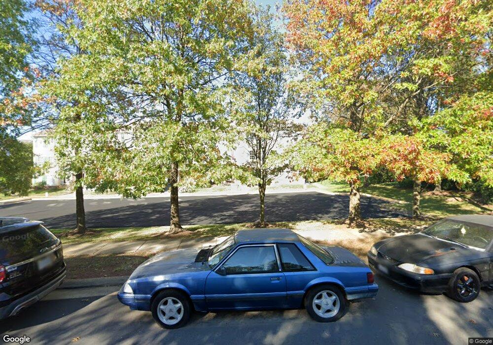
2555 Peter Jefferson Ln Herndon, VA 20171
Estimated Value: $272,750 - $482,000
4
Beds
2
Baths
870
Sq Ft
$401/Sq Ft
Est. Value
About This Home
This home is located at 2555 Peter Jefferson Ln, Herndon, VA 20171 and is currently estimated at $348,438, approximately $400 per square foot. 2555 Peter Jefferson Ln is a home located in Fairfax County with nearby schools including L.L. Coates Elementary School, Rachel Carson Middle School, and Westfield High School.
Ownership History
Date
Name
Owned For
Owner Type
Purchase Details
Closed on
Aug 5, 1997
Sold by
Engle Homes Va Inc
Bought by
Royal Pearl C
Current Estimated Value
Home Financials for this Owner
Home Financials are based on the most recent Mortgage that was taken out on this home.
Original Mortgage
$96,700
Outstanding Balance
$14,507
Interest Rate
7.55%
Mortgage Type
FHA
Estimated Equity
$333,931
Create a Home Valuation Report for This Property
The Home Valuation Report is an in-depth analysis detailing your home's value as well as a comparison with similar homes in the area
Home Values in the Area
Average Home Value in this Area
Purchase History
| Date | Buyer | Sale Price | Title Company |
|---|---|---|---|
| Royal Pearl C | $97,050 | -- |
Source: Public Records
Mortgage History
| Date | Status | Borrower | Loan Amount |
|---|---|---|---|
| Open | Royal Pearl C | $96,700 |
Source: Public Records
Tax History Compared to Growth
Tax History
| Year | Tax Paid | Tax Assessment Tax Assessment Total Assessment is a certain percentage of the fair market value that is determined by local assessors to be the total taxable value of land and additions on the property. | Land | Improvement |
|---|---|---|---|---|
| 2025 | $1,872 | $163,840 | $16,380 | $147,460 |
| 2024 | $1,872 | $161,610 | $16,160 | $145,450 |
| 2023 | $1,790 | $158,600 | $15,860 | $142,740 |
| 2022 | $1,743 | $152,390 | $15,240 | $137,150 |
| 2021 | $1,732 | $147,630 | $14,760 | $132,870 |
| 2020 | $1,728 | $146,020 | $14,600 | $131,420 |
| 2019 | $1,722 | $145,530 | $14,550 | $130,980 |
| 2018 | $1,648 | $143,300 | $14,330 | $128,970 |
| 2017 | $1,643 | $141,550 | $14,160 | $127,390 |
| 2016 | $1,632 | $140,850 | $14,090 | $126,760 |
| 2015 | $1,570 | $140,670 | $14,070 | $126,600 |
| 2014 | $1,554 | $139,530 | $13,950 | $125,580 |
Source: Public Records
Map
Nearby Homes
- 2559 Peter Jefferson Ln
- 2546 James Maury Dr
- 13503 Bannacker Place
- 13438 Burrough Farm Dr
- 2497 Angeline Dr Unit 104
- 2522 Logan Wood Dr
- 2492 Quick St Unit 103
- 2505 James Madison Cir
- 13683 Saint Johns Wood Place
- 13323 Zachary Taylor Cir
- 2603 Loganberry Dr
- 2506 James Monroe Cir
- 0A-2 River Birch Rd
- 0A River Birch Rd
- 13660 Venturi Ln Unit 216
- 3495 Audubon Cove
- 3499 Audubon Cove
- 2611 River Birch Rd
- 2605 River Birch Rd
- 2609 River Birch Rd
- 2553 Peter Jefferson Ln
- 2551 Peter Jefferson Ln
- 2549 Peter Jefferson Ln
- 2547 Peter Jefferson Ln
- 13503 Martha Jefferson Place
- 13501 Martha Jefferson Place
- 2545 Peter Jefferson Ln
- 13505 Martha Jefferson Place
- 13507 Martha Jefferson Place
- 2543 Peter Jefferson Ln
- 13509 Martha Jefferson Place
- 13511 Martha Jefferson Place
- 13513 Martha Jefferson Place
- 2542 Peter Jefferson Ln
- 2540 Peter Jefferson Ln
- 13500 Martha Jefferson Place
- 2538 Peter Jefferson Ln
- 13502 Martha Jefferson Place
- 13504 Martha Jefferson Place
- 2536 Peter Jefferson Ln
