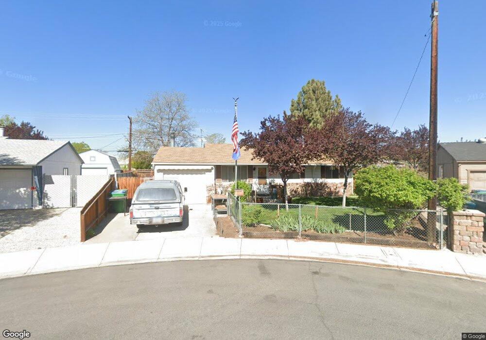
2555 Simms Cir Sparks, NV 89431
McCarran Boulevard-Probasco NeighborhoodEstimated Value: $362,000 - $411,000
3
Beds
1
Bath
1,044
Sq Ft
$363/Sq Ft
Est. Value
About This Home
This home is located at 2555 Simms Cir, Sparks, NV 89431 and is currently estimated at $379,172, approximately $363 per square foot. 2555 Simms Cir is a home located in Washoe County with nearby schools including Florence Drake Elementary School, George L Dilworth Middle School, and Sparks High School.
Ownership History
Date
Name
Owned For
Owner Type
Purchase Details
Closed on
Oct 17, 2017
Sold by
Urstadt Andrew M
Bought by
Urstadt Andrew M and Andrew M Urstadt Trust
Current Estimated Value
Purchase Details
Closed on
Jun 25, 2010
Sold by
Urstadt Andrew M and Urstadt Lisa Ray
Bought by
Urstadt Andrew M
Purchase Details
Closed on
Oct 1, 1996
Sold by
Urstadt Andrew M
Bought by
Urstadt Andrew M and Urstadt Lisa Ray
Home Financials for this Owner
Home Financials are based on the most recent Mortgage that was taken out on this home.
Original Mortgage
$85,600
Outstanding Balance
$7,706
Interest Rate
7.87%
Estimated Equity
$371,466
Purchase Details
Closed on
Sep 25, 1996
Sold by
Urstadt Lisa Ray
Bought by
Urstadt Andrew M
Home Financials for this Owner
Home Financials are based on the most recent Mortgage that was taken out on this home.
Original Mortgage
$85,600
Outstanding Balance
$7,706
Interest Rate
7.87%
Estimated Equity
$371,466
Create a Home Valuation Report for This Property
The Home Valuation Report is an in-depth analysis detailing your home's value as well as a comparison with similar homes in the area
Home Values in the Area
Average Home Value in this Area
Purchase History
| Date | Buyer | Sale Price | Title Company |
|---|---|---|---|
| Urstadt Andrew M | -- | None Available | |
| Urstadt Andrew M | -- | None Available | |
| Urstadt Andrew M | -- | -- | |
| Urstadt Andrew M | -- | First American Title Co | |
| Urstadt Andrew M | $107,000 | First American Title Co |
Source: Public Records
Mortgage History
| Date | Status | Borrower | Loan Amount |
|---|---|---|---|
| Open | Urstadt Andrew M | $85,600 |
Source: Public Records
Tax History Compared to Growth
Tax History
| Year | Tax Paid | Tax Assessment Tax Assessment Total Assessment is a certain percentage of the fair market value that is determined by local assessors to be the total taxable value of land and additions on the property. | Land | Improvement |
|---|---|---|---|---|
| 2025 | $766 | $52,474 | $33,565 | $18,909 |
| 2024 | $744 | $48,812 | $30,065 | $18,747 |
| 2023 | $744 | $48,650 | $31,325 | $17,325 |
| 2022 | $723 | $40,299 | $26,180 | $14,119 |
| 2021 | $703 | $32,239 | $17,955 | $14,284 |
| 2020 | $680 | $31,117 | $16,940 | $14,177 |
| 2019 | $661 | $29,308 | $15,890 | $13,418 |
| 2018 | $641 | $24,589 | $11,725 | $12,864 |
| 2017 | $624 | $23,119 | $10,395 | $12,724 |
| 2016 | $608 | $22,016 | $9,345 | $12,671 |
| 2015 | $157 | $20,046 | $7,700 | $12,346 |
| 2014 | $589 | $18,166 | $6,440 | $11,726 |
| 2013 | -- | $15,655 | $4,270 | $11,385 |
Source: Public Records
Map
Nearby Homes
- 465 Lenwood Dr
- 119 Devere Way
- 1940 4th St Unit 20
- 1940 4th St Unit 51
- 1945 4th St Unit 32
- 1945 4th St Unit 33
- 1945 4th St Unit 10
- 780 Emerson Way
- 10 Sheridan Way
- 1023 Tyler Way
- 1705 9th St
- 1110 Xman Way
- 1125 Dodson Way
- 1703 1st St
- 1160 York Way
- 3252 Holman Way
- 1003 Sbragia Way
- 3245 Elaine Way
- 8 E O St
- 120 E Lenwood Dr