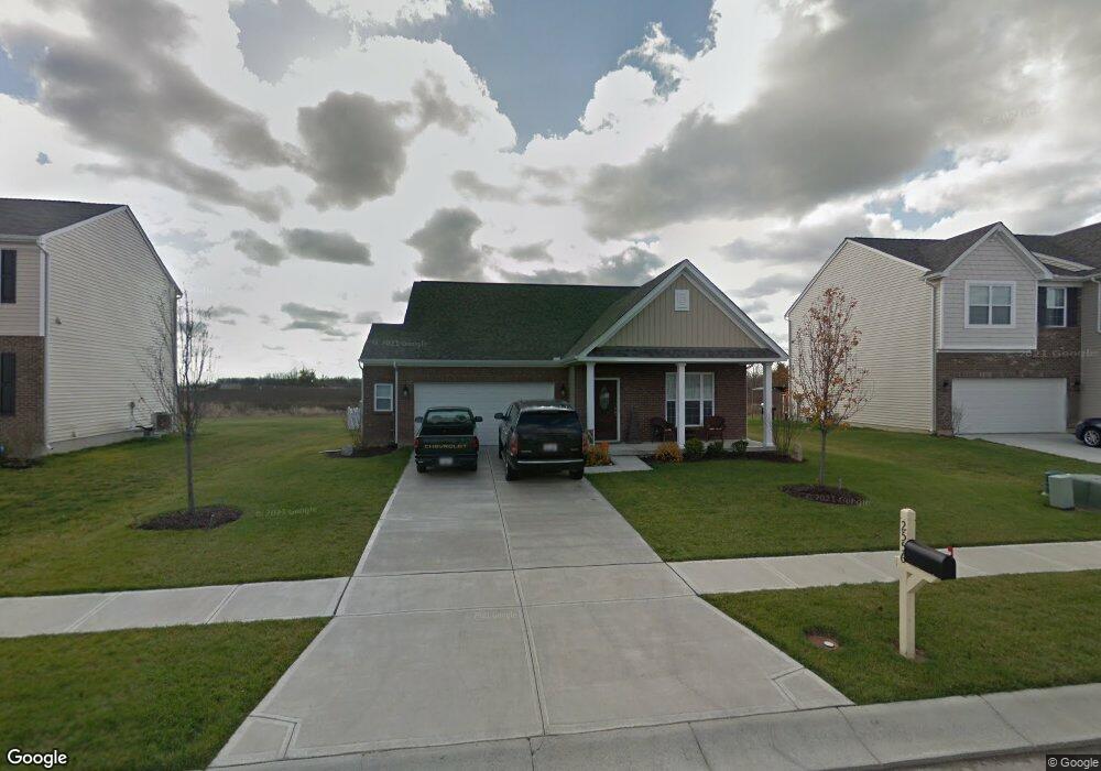
2556 Sunset Maple Dr Unit 648 Tipp City, OH 45371
Estimated Value: $291,000 - $363,000
3
Beds
2
Baths
1,689
Sq Ft
$195/Sq Ft
Est. Value
About This Home
This home is located at 2556 Sunset Maple Dr Unit 648, Tipp City, OH 45371 and is currently estimated at $328,838, approximately $194 per square foot. 2556 Sunset Maple Dr Unit 648 is a home located in Miami County with nearby schools including Bethel Elementary School, Bethel Middle School, and Bethel High School.
Ownership History
Date
Name
Owned For
Owner Type
Purchase Details
Closed on
Sep 4, 2025
Sold by
Davis Bethanie D and Davis Roger D
Bought by
Bethanie D Davis And Roger D Davis Irrevocabl and Davis
Current Estimated Value
Purchase Details
Closed on
Oct 6, 2021
Sold by
Lawson Shawn W and Lawson Teri G
Bought by
Davis Roger D and Davis Bethanie D
Purchase Details
Closed on
Apr 11, 2014
Sold by
M/I Homes Of Cincinnati Llc
Bought by
Lawson Shawn W and Lawson Teri G
Home Financials for this Owner
Home Financials are based on the most recent Mortgage that was taken out on this home.
Original Mortgage
$151,050
Interest Rate
4.41%
Mortgage Type
New Conventional
Purchase Details
Closed on
Dec 21, 2012
Sold by
Dec Land Co I Llc
Bought by
Mi Homes Of Cincinnati Llc
Create a Home Valuation Report for This Property
The Home Valuation Report is an in-depth analysis detailing your home's value as well as a comparison with similar homes in the area
Home Values in the Area
Average Home Value in this Area
Purchase History
| Date | Buyer | Sale Price | Title Company |
|---|---|---|---|
| Bethanie D Davis And Roger D Davis Irrevocabl | -- | None Listed On Document | |
| Davis Roger D | $200,000 | None Available | |
| Lawson Shawn W | $159,100 | First Title | |
| Mi Homes Of Cincinnati Llc | $33,000 | First Title |
Source: Public Records
Mortgage History
| Date | Status | Borrower | Loan Amount |
|---|---|---|---|
| Previous Owner | Lawson Shawn W | $151,050 |
Source: Public Records
Tax History Compared to Growth
Tax History
| Year | Tax Paid | Tax Assessment Tax Assessment Total Assessment is a certain percentage of the fair market value that is determined by local assessors to be the total taxable value of land and additions on the property. | Land | Improvement |
|---|---|---|---|---|
| 2024 | $3,647 | $83,270 | $20,790 | $62,480 |
| 2023 | $3,647 | $83,270 | $20,790 | $62,480 |
| 2022 | $3,798 | $83,270 | $20,790 | $62,480 |
| 2021 | $3,243 | $66,610 | $16,630 | $49,980 |
| 2020 | $3,250 | $66,610 | $16,630 | $49,980 |
| 2019 | $3,316 | $66,610 | $16,630 | $49,980 |
| 2018 | $3,090 | $58,170 | $16,660 | $41,510 |
| 2017 | $3,094 | $58,170 | $16,660 | $41,510 |
| 2016 | $2,984 | $58,170 | $16,660 | $41,510 |
| 2015 | $2,901 | $53,410 | $11,900 | $41,510 |
| 2014 | $2,901 | $53,410 | $11,900 | $41,510 |
| 2013 | $697 | $9,520 | $9,520 | $0 |
Source: Public Records
Map
Nearby Homes
- 2529 Sunset Maple Dr
- 4146 Spicebush Dr
- 3290 Dry Run St
- 5073 Catalpa Dr
- 7113 Honeylocust St
- 7185 Honeylocust St
- 4010 Redbud Way
- 7191 Honeylocust St
- 4264 Forestedge St
- 3109 Coneflower Dr
- 8930 Century Ln
- 5420 U S 40
- 8133 Bushclover Dr
- 8830 Christygate Ln
- 6445 Heffner Rd
- 1235 Gable Way
- 2036 Cedar Lake Dr
- 2024 Cedar Lake Dr
- 5362 Windbrooke Dr
- 5195 Buttercup Dr
- 2556 Sunset Maple Dr
- 2562 Sunset Maple Dr
- 2550 Sunset Maple Dr
- 2565 Sunset Maple Dr Unit 661
- 2565 Sunset Maple Dr
- 2559 Sunset Maple Dr Unit 662
- 2559 Sunset Maple Dr
- 2553 Sunset Maple Dr Unit 663
- 2553 Sunset Maple Dr
- 2544 Sunset Maple Dr
- 2568 Sunset Maple Dr Unit 650
- 2568 Sunset Maple Dr
- 2547 Sunset Maple Dr
- 2571 Sunset Maple Dr Unit 660
- 2571 Sunset Maple Dr
- 2541 Sunset Maple Dr
- 1230 Scarlet Oak Dr
- 100 Sunset Maple Dr
- 2574 Sunset Maple Dr
- 1224 Scarlet Oak Dr