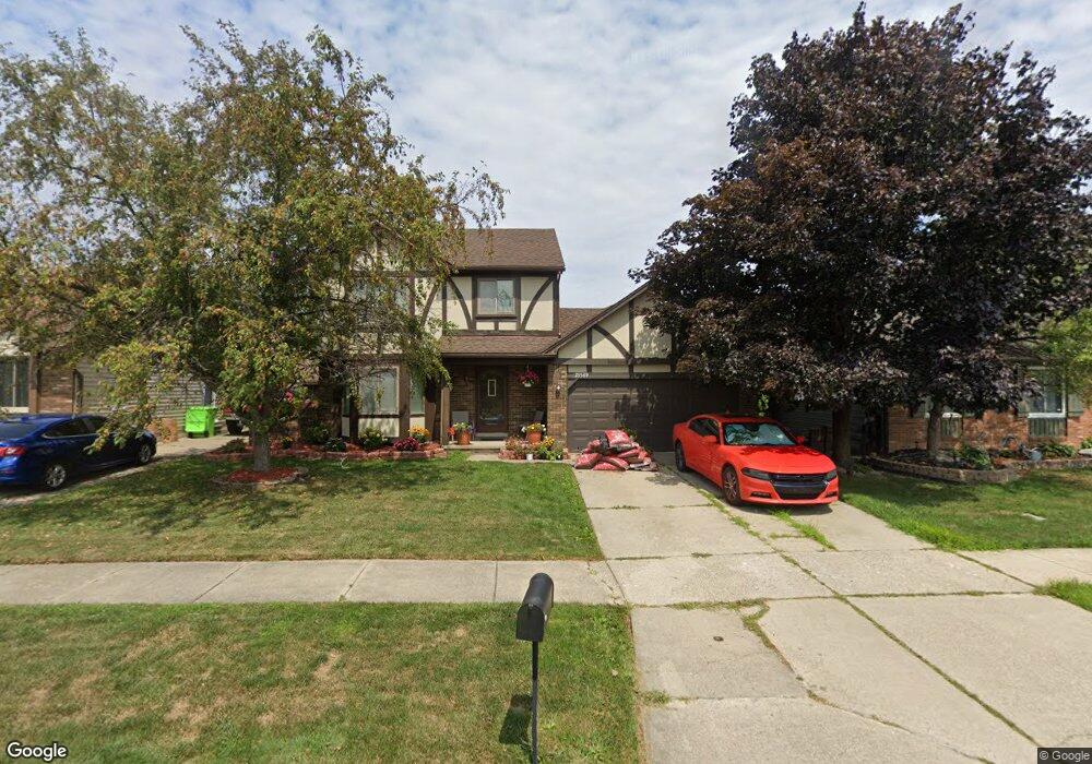
25569 Mary St Chesterfield, MI 48051
Estimated Value: $299,465 - $328,000
--
Bed
2
Baths
1,568
Sq Ft
$201/Sq Ft
Est. Value
About This Home
This home is located at 25569 Mary St, Chesterfield, MI 48051 and is currently estimated at $315,116, approximately $200 per square foot. 25569 Mary St is a home located in Macomb County with nearby schools including Atwood Elementary School, L'Anse Creuse Middle School - North, and L'Anse Creuse High School - North.
Ownership History
Date
Name
Owned For
Owner Type
Purchase Details
Closed on
Aug 17, 2001
Sold by
O'Connell Shawn
Bought by
Mchaney Myles
Current Estimated Value
Home Financials for this Owner
Home Financials are based on the most recent Mortgage that was taken out on this home.
Original Mortgage
$161,500
Interest Rate
6.64%
Purchase Details
Closed on
Nov 21, 1997
Sold by
Girard J B
Bought by
O'Connell S
Create a Home Valuation Report for This Property
The Home Valuation Report is an in-depth analysis detailing your home's value as well as a comparison with similar homes in the area
Home Values in the Area
Average Home Value in this Area
Purchase History
| Date | Buyer | Sale Price | Title Company |
|---|---|---|---|
| Mchaney Myles | $170,000 | -- | |
| O'Connell S | $140,000 | -- |
Source: Public Records
Mortgage History
| Date | Status | Borrower | Loan Amount |
|---|---|---|---|
| Previous Owner | Mchaney Myles | $161,500 |
Source: Public Records
Tax History Compared to Growth
Tax History
| Year | Tax Paid | Tax Assessment Tax Assessment Total Assessment is a certain percentage of the fair market value that is determined by local assessors to be the total taxable value of land and additions on the property. | Land | Improvement |
|---|---|---|---|---|
| 2025 | $2,841 | $135,100 | $0 | $0 |
| 2024 | $1,766 | $132,600 | $0 | $0 |
| 2023 | $2,411 | $123,800 | $0 | $0 |
| 2022 | $2,411 | $117,900 | $0 | $0 |
| 2021 | $2,442 | $115,500 | $0 | $0 |
| 2020 | $1,537 | $105,500 | $0 | $0 |
| 2019 | $2,393 | $96,000 | $0 | $0 |
| 2018 | $2,224 | $90,800 | $11,200 | $79,600 |
| 2017 | $2,195 | $84,950 | $11,200 | $73,750 |
| 2016 | $2,005 | $84,950 | $0 | $0 |
| 2015 | $677 | $76,500 | $0 | $0 |
| 2014 | $677 | $66,200 | $11,200 | $55,000 |
| 2012 | -- | $0 | $0 | $0 |
Source: Public Records
Map
Nearby Homes
- 25591 Lord Dr
- 25783 Rose St
- 0 Gratiot Ave
- 6009 Gratiot Ave
- 46132 Royal Dr
- 46063 Pat St
- 45937 Duke Dr
- 46042 Pat St
- 45945 N Gratiot Ave
- 46684 E Briarwood Dr Unit 145
- 26280 21 Mile Rd
- 26323 Rosebriar Dr
- 47215 Admirals Cove Ln Unit 17
- 45729 N Gratiot Ave
- 26123 Joanne Smith Ln
- 47302 Joanne Smith Ln
- 24374 21 Mile Rd
- 26331 Wacker Dr
- 26112 Birchcrest Dr
- 26207 Fairwood Dr