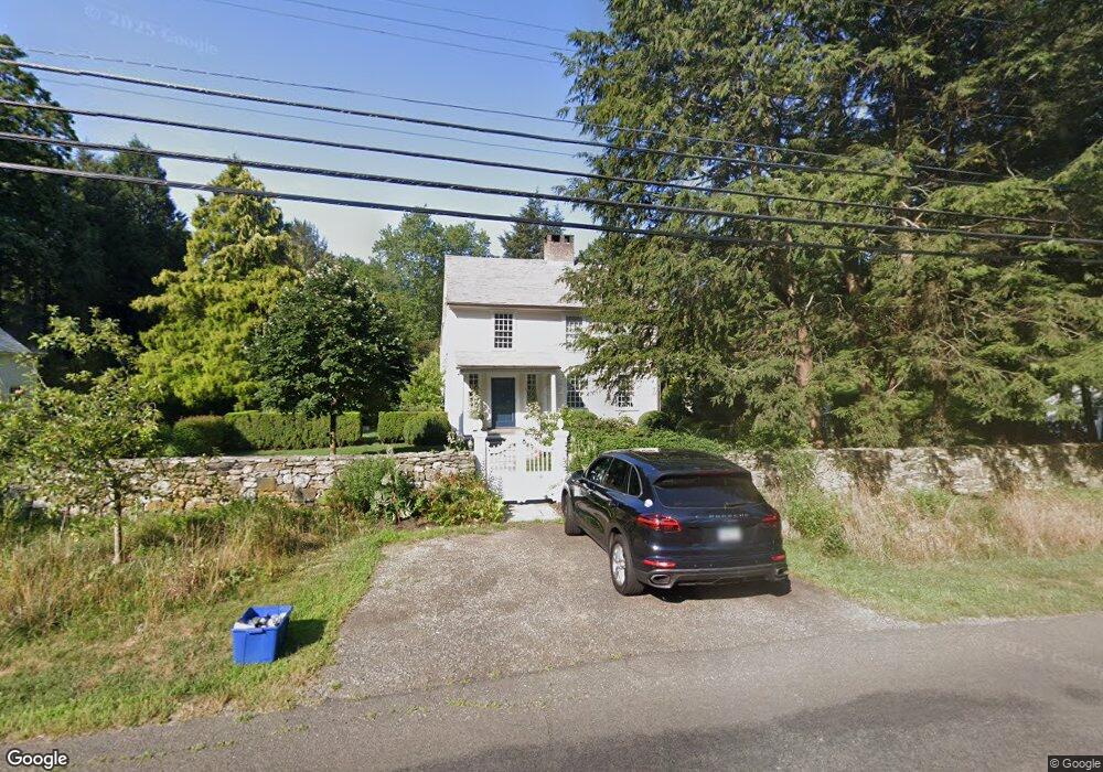
2557 Burr St Fairfield, CT 06824
Greenfield Hill NeighborhoodEstimated Value: $1,327,572 - $2,166,000
5
Beds
4
Baths
3,717
Sq Ft
$423/Sq Ft
Est. Value
About This Home
This home is located at 2557 Burr St, Fairfield, CT 06824 and is currently estimated at $1,572,143, approximately $422 per square foot. 2557 Burr St is a home located in Fairfield County with nearby schools including Burr Elementary School, Tomlinson Middle School, and Fairfield Warde High School.
Ownership History
Date
Name
Owned For
Owner Type
Purchase Details
Closed on
Jul 20, 2010
Sold by
Rossetti Joseph
Bought by
Devore Diane
Current Estimated Value
Purchase Details
Closed on
Jun 19, 1995
Sold by
Bezamat Tatiana B and Bezamat Adolfo
Bought by
Rossetti Joseph H
Create a Home Valuation Report for This Property
The Home Valuation Report is an in-depth analysis detailing your home's value as well as a comparison with similar homes in the area
Home Values in the Area
Average Home Value in this Area
Purchase History
| Date | Buyer | Sale Price | Title Company |
|---|---|---|---|
| Devore Diane | -- | -- | |
| Devore Diane | -- | -- | |
| Rossetti Joseph H | $455,000 | -- | |
| Rossetti Joseph H | $455,000 | -- |
Source: Public Records
Mortgage History
| Date | Status | Borrower | Loan Amount |
|---|---|---|---|
| Open | Rossetti Joseph H | $115,800 | |
| Open | Rossetti Joseph H | $840,000 | |
| Previous Owner | Rossetti Joseph H | $550,000 |
Source: Public Records
Tax History Compared to Growth
Tax History
| Year | Tax Paid | Tax Assessment Tax Assessment Total Assessment is a certain percentage of the fair market value that is determined by local assessors to be the total taxable value of land and additions on the property. | Land | Improvement |
|---|---|---|---|---|
| 2025 | $14,368 | $506,110 | $206,440 | $299,670 |
| 2024 | $12,888 | $461,940 | $206,440 | $255,500 |
| 2023 | $12,708 | $461,940 | $206,440 | $255,500 |
| 2022 | $12,583 | $461,940 | $206,440 | $255,500 |
| 2021 | $4,420 | $461,940 | $206,440 | $255,500 |
| 2020 | $4,498 | $519,610 | $199,360 | $320,250 |
| 2019 | $13,920 | $519,610 | $199,360 | $320,250 |
| 2018 | $13,697 | $519,610 | $199,360 | $320,250 |
| 2017 | $4,456 | $519,610 | $199,360 | $320,250 |
| 2016 | $13,007 | $511,070 | $199,360 | $311,710 |
| 2015 | $13,949 | $562,690 | $226,760 | $335,930 |
| 2014 | $13,730 | $562,690 | $226,760 | $335,930 |
Source: Public Records
Map
Nearby Homes
- 342 Midlock Rd
- 312 Towne House Rd
- 4800 Congress St
- 22 Brett Rd
- 76 Burr St
- 2775 North St
- 2492 Congress St
- 180 Catamount Rd
- 109 Buckboard Ln
- 3853 Congress St
- 2281 Redding Rd
- 2959 Congress St
- 158 Coventry Ln
- 100 E Common Rd
- 2015 Redding Rd
- 947 Galloping Hill Rd
- 2425 Merwins Ln
- 11 Judges Hollow Rd
- 99 Old Academy Rd
- 101 Brambley Hedge Cir
- 2562 Burr St
- 2515 Burr St
- 536 Hemlock Rd
- 499 Hemlock Rd
- 2631 Burr St
- 2457 Burr St
- 686 Eleven O Clock Rd
- 2453 Burr St
- 480 Hemlock Rd
- 455 Hemlock Rd
- 2682 Burr St
- 2683 Burr St
- 444 Hemlock Rd
- 740 Eleven O Clock Rd
- 381 Hemlock Rd
- 620 Eleven O Clock Rd
- 796 Eleven O Clock Rd
- 423 Hemlock Rd
- 451 Midlock Rd
- 2730 Burr St