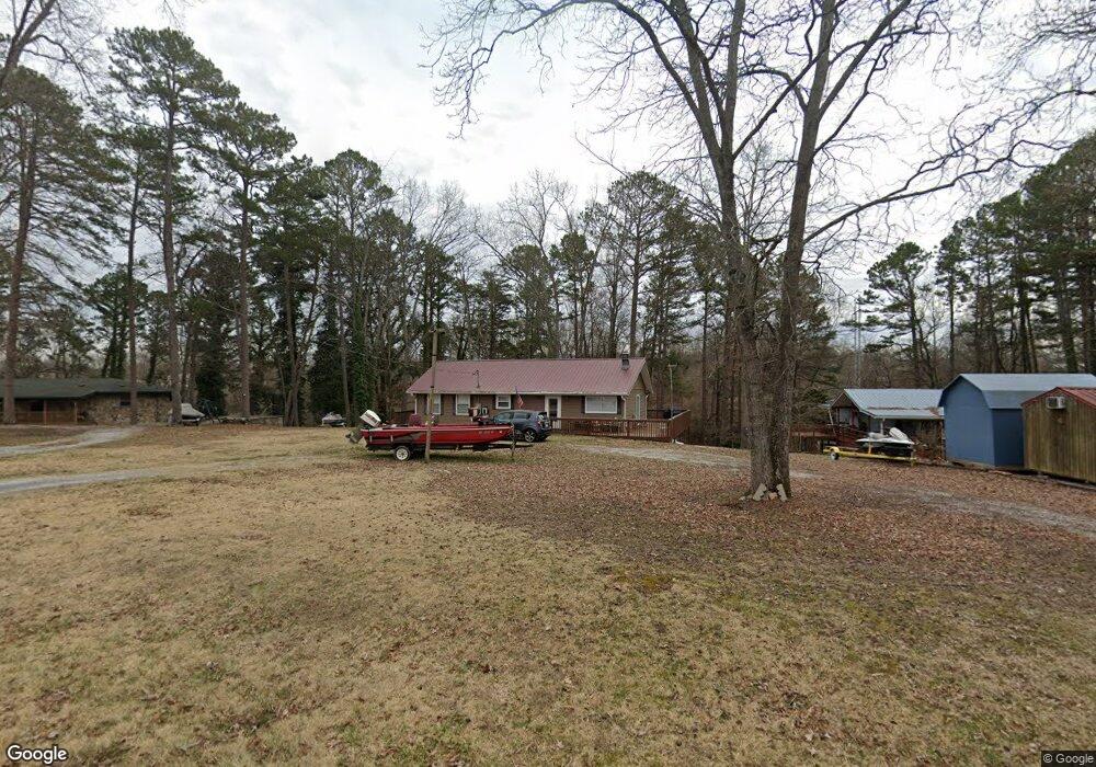
2557 Roundhouse Rd Dandridge, TN 37725
Estimated Value: $254,000 - $407,000
2
Beds
2
Baths
1,104
Sq Ft
$286/Sq Ft
Est. Value
About This Home
This home is located at 2557 Roundhouse Rd, Dandridge, TN 37725 and is currently estimated at $316,080, approximately $286 per square foot. 2557 Roundhouse Rd is a home located in Jefferson County.
Ownership History
Date
Name
Owned For
Owner Type
Purchase Details
Closed on
Mar 31, 2017
Sold by
Phillips Sam J
Bought by
Tomasko Thomas C and Tomasko Tae Y
Current Estimated Value
Purchase Details
Closed on
Sep 19, 2005
Sold by
Alan Bouler Tony
Bought by
Phillips Sam J
Home Financials for this Owner
Home Financials are based on the most recent Mortgage that was taken out on this home.
Original Mortgage
$173,537
Interest Rate
6.63%
Purchase Details
Closed on
Aug 10, 2005
Sold by
Isom Carole A
Bought by
Alan Bouler Tony
Home Financials for this Owner
Home Financials are based on the most recent Mortgage that was taken out on this home.
Original Mortgage
$173,537
Interest Rate
6.63%
Purchase Details
Closed on
Oct 22, 1998
Bought by
Isom Carole A and Boccio Ernest J Del
Purchase Details
Closed on
May 5, 1977
Bought by
Roberts William A and Mary Lou
Create a Home Valuation Report for This Property
The Home Valuation Report is an in-depth analysis detailing your home's value as well as a comparison with similar homes in the area
Home Values in the Area
Average Home Value in this Area
Purchase History
| Date | Buyer | Sale Price | Title Company |
|---|---|---|---|
| Tomasko Thomas C | $135,000 | -- | |
| Phillips Sam J | $170,000 | -- | |
| Alan Bouler Tony | $144,000 | -- | |
| Isom Carole A | $76,300 | -- | |
| Roberts William A | -- | -- |
Source: Public Records
Mortgage History
| Date | Status | Borrower | Loan Amount |
|---|---|---|---|
| Previous Owner | Roberts William A | $173,537 | |
| Previous Owner | Roberts William A | $115,200 |
Source: Public Records
Tax History Compared to Growth
Tax History
| Year | Tax Paid | Tax Assessment Tax Assessment Total Assessment is a certain percentage of the fair market value that is determined by local assessors to be the total taxable value of land and additions on the property. | Land | Improvement |
|---|---|---|---|---|
| 2025 | $816 | $50,425 | $17,500 | $32,925 |
| 2023 | $816 | $35,475 | $0 | $0 |
| 2022 | $777 | $35,475 | $14,000 | $21,475 |
| 2021 | $777 | $35,475 | $14,000 | $21,475 |
| 2020 | $777 | $35,475 | $14,000 | $21,475 |
| 2019 | $777 | $35,475 | $14,000 | $21,475 |
| 2018 | $795 | $33,850 | $14,000 | $19,850 |
| 2017 | $795 | $33,850 | $14,000 | $19,850 |
| 2016 | $795 | $33,850 | $14,000 | $19,850 |
| 2015 | $795 | $33,850 | $14,000 | $19,850 |
| 2014 | $795 | $33,850 | $14,000 | $19,850 |
Source: Public Records
Map
Nearby Homes
- 1645 E Highway 25 70
- 2460 Wild Pear Trail
- 1689 U S 25w
- 2339 Wild Pear Trail
- Lot 142 Arbor Ln
- 142 Arbor Ln
- Lot 148 Fairmeadow Dr
- Lot 40 English Mountain Pointe
- 0 Brethren Church Rd Unit 1303637
- Lot 11 Stokley Ct
- 2114 Bridge View Dr
- 976 Bridgeview Hills Dr
- 306 Bungalow Dr
- 307 Bungalow Dr
- 1023 Stokley Ct
- Lot 20 Plantation Point Dr
- 2553 Roundhouse Rd
- 2563 Roundhouse Rd
- 2549 Roundhouse Rd
- 2569 Roundhouse Rd
- 2560 Roundhouse Rd
- 2570 Roundhouse Rd
- 2566 Roundhouse Rd
- 2578 Roundhouse Rd
- 651 Norris Dr
- 659 Norris Dr
- 647 Norris Dr
- 660 Norris Dr
- 2528 Roundhouse Rd
- 1570 E Highway 25 70
- LOT 18 Hwy
- 1538 E Highway 25 70
- 2516 Roundhouse Rd
- 2504 Roundhouse Rd
- 2518 Roundhouse Rd
- 599 Glenn Cir