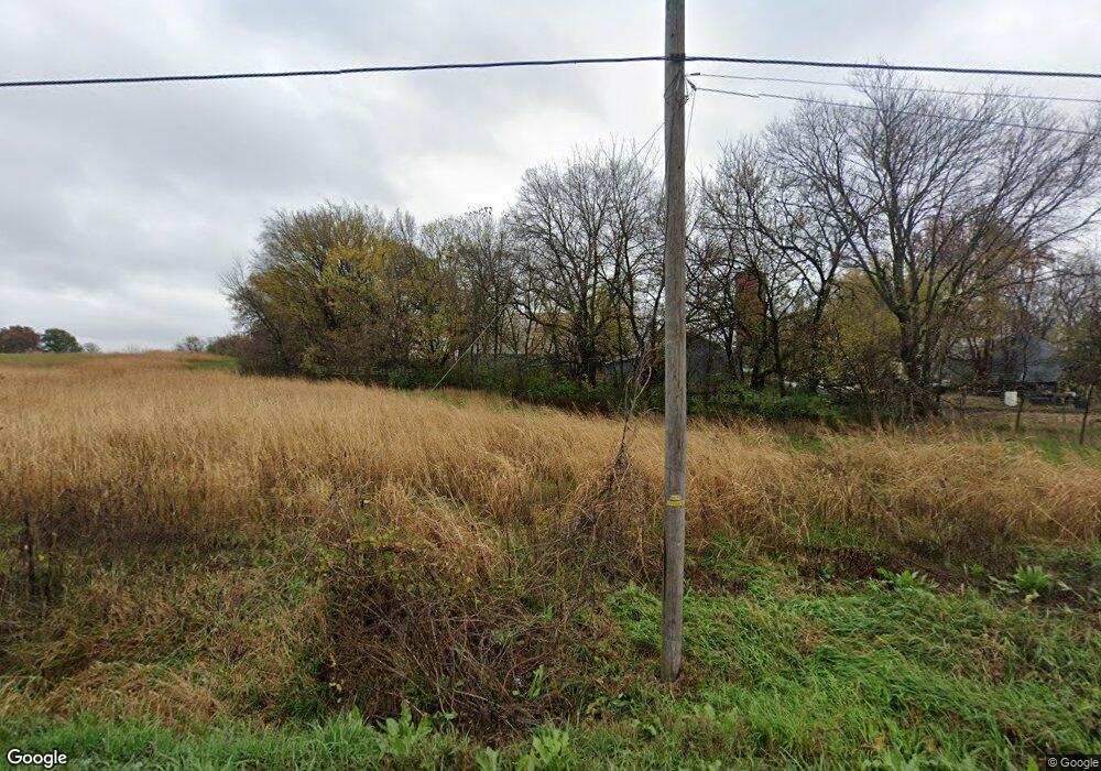
25576 127th St Leavenworth, KS 66048
Estimated Value: $463,835 - $507,000
4
Beds
3
Baths
2,060
Sq Ft
$238/Sq Ft
Est. Value
About This Home
This home is located at 25576 127th St, Leavenworth, KS 66048 and is currently estimated at $490,612, approximately $238 per square foot. 25576 127th St is a home located in Leavenworth County with nearby schools including Lansing Elementary School, Lansing Middle 6-8, and Lansing High 9-12.
Ownership History
Date
Name
Owned For
Owner Type
Purchase Details
Closed on
Jan 29, 2018
Sold by
Mildred I Stuckey Revocable Trust
Bought by
Stuckey Larry D and Stuckey John W
Current Estimated Value
Purchase Details
Closed on
Aug 1, 1999
Bought by
Wessel Marvin A and Wessel Debra K
Home Financials for this Owner
Home Financials are based on the most recent Mortgage that was taken out on this home.
Original Mortgage
$24,596
Interest Rate
7.7%
Mortgage Type
New Conventional
Create a Home Valuation Report for This Property
The Home Valuation Report is an in-depth analysis detailing your home's value as well as a comparison with similar homes in the area
Home Values in the Area
Average Home Value in this Area
Purchase History
| Date | Buyer | Sale Price | Title Company |
|---|---|---|---|
| Stuckey Larry D | -- | Baylor Evnen Curtiss Grimit & | |
| Wessel Marvin A | $5,000 | -- |
Source: Public Records
Mortgage History
| Date | Status | Borrower | Loan Amount |
|---|---|---|---|
| Previous Owner | Wessel Marvin A | $24,596 |
Source: Public Records
Tax History Compared to Growth
Tax History
| Year | Tax Paid | Tax Assessment Tax Assessment Total Assessment is a certain percentage of the fair market value that is determined by local assessors to be the total taxable value of land and additions on the property. | Land | Improvement |
|---|---|---|---|---|
| 2025 | $4,586 | $42,105 | $6,872 | $35,233 |
| 2024 | $4,256 | $40,655 | $6,518 | $34,137 |
| 2023 | $4,256 | $39,394 | $6,500 | $32,894 |
| 2022 | $3,955 | $35,297 | $5,606 | $29,691 |
| 2021 | $3,401 | $29,954 | $4,667 | $25,287 |
| 2020 | $3,295 | $28,540 | $4,483 | $24,057 |
| 2019 | $3,066 | $26,536 | $4,111 | $22,425 |
| 2018 | $2,693 | $23,362 | $3,152 | $20,210 |
| 2017 | $2,625 | $22,904 | $2,929 | $19,975 |
| 2016 | $2,623 | $22,921 | $2,892 | $20,029 |
| 2015 | $2,522 | $22,134 | $2,871 | $19,263 |
| 2014 | $2,507 | $27,382 | $6,949 | $20,433 |
Source: Public Records
Map
Nearby Homes
- 102 S 3rd Ct
- 513 Forestglen Ln
- 218 E Kay St
- 209 E Kay St
- 901 S Main St
- 506 1st Terrace
- 24730 Tontine Rd
- 202 S Main St
- 124 S Main St
- 131 Rock Creek Loop
- 13788 McIntyre2 Rd
- 13788 McIntyre1 Rd
- 13788 Mcintyre Rd
- 527 S Valley Dr
- 24131 126th St
- 115 W Gilman Rd
- 722 Bittersweet Rd
- 624 S Bittersweet Ln
- 706 N 2nd St
- 922 Southfork St
- 25603 127th St
- 25715 127th St
- 25512 127th St
- 25799 Wolcott Rd
- 25715 Wolcott Rd
- 25742 Wolcott Rd
- 25770 Wolcott Rd
- 25781 127th St
- 25778 Wolcott Rd
- 25845 Wolcott Rd
- 25718 Wolcott Rd
- 25939 Wolcott Rd
- 25974 Wolcott Rd
- 25740 Wolcott Rd
- 25350 Wolcott Rd
- 12785 Gilman Rd
- 12826 Stranger Rd
- 12902 Stranger Rd
- 26074 Wolcott Rd
- 12800 Stranger Rd
