25585 Breezewood St Dana Point, CA 92629
Del Obispo NeighborhoodEstimated Value: $1,099,000 - $1,197,000
3
Beds
2
Baths
1,672
Sq Ft
$685/Sq Ft
Est. Value
About This Home
This home is located at 25585 Breezewood St, Dana Point, CA 92629 and is currently estimated at $1,145,847, approximately $685 per square foot. 25585 Breezewood St is a home located in Orange County with nearby schools including Del Obispo Elementary School, Marco Forster Middle School, and Dana Hills High School.
Ownership History
Date
Name
Owned For
Owner Type
Purchase Details
Closed on
Jan 22, 2020
Sold by
Sossaman Susan and The Geneva D Russell Trust
Bought by
Villanueva Pedro P and Villanueva Vanessa R
Current Estimated Value
Home Financials for this Owner
Home Financials are based on the most recent Mortgage that was taken out on this home.
Original Mortgage
$540,160
Interest Rate
3.6%
Mortgage Type
New Conventional
Purchase Details
Closed on
Oct 19, 2011
Sold by
Russell Geneva D
Bought by
Russell Geneva D and Sossaman Susan
Create a Home Valuation Report for This Property
The Home Valuation Report is an in-depth analysis detailing your home's value as well as a comparison with similar homes in the area
Home Values in the Area
Average Home Value in this Area
Purchase History
| Date | Buyer | Sale Price | Title Company |
|---|---|---|---|
| Villanueva Pedro P | $675,500 | First American Title Company | |
| Russell Geneva D | -- | None Available |
Source: Public Records
Mortgage History
| Date | Status | Borrower | Loan Amount |
|---|---|---|---|
| Previous Owner | Villanueva Pedro P | $540,160 |
Source: Public Records
Tax History Compared to Growth
Tax History
| Year | Tax Paid | Tax Assessment Tax Assessment Total Assessment is a certain percentage of the fair market value that is determined by local assessors to be the total taxable value of land and additions on the property. | Land | Improvement |
|---|---|---|---|---|
| 2025 | $9,192 | $738,427 | $573,768 | $164,659 |
| 2024 | $9,192 | $723,949 | $562,518 | $161,431 |
| 2023 | $8,809 | $709,754 | $551,488 | $158,266 |
| 2022 | $8,327 | $695,838 | $540,675 | $155,163 |
| 2021 | $7,755 | $682,195 | $530,074 | $152,121 |
| 2020 | $3,335 | $242,459 | $58,412 | $184,047 |
| 2019 | $3,154 | $237,705 | $57,266 | $180,439 |
| 2018 | $3,067 | $233,045 | $56,144 | $176,901 |
| 2017 | $3,070 | $228,476 | $55,043 | $173,433 |
| 2016 | $2,884 | $223,997 | $53,964 | $170,033 |
| 2015 | $2,784 | $220,633 | $53,154 | $167,479 |
| 2014 | $2,748 | $216,312 | $52,113 | $164,199 |
Source: Public Records
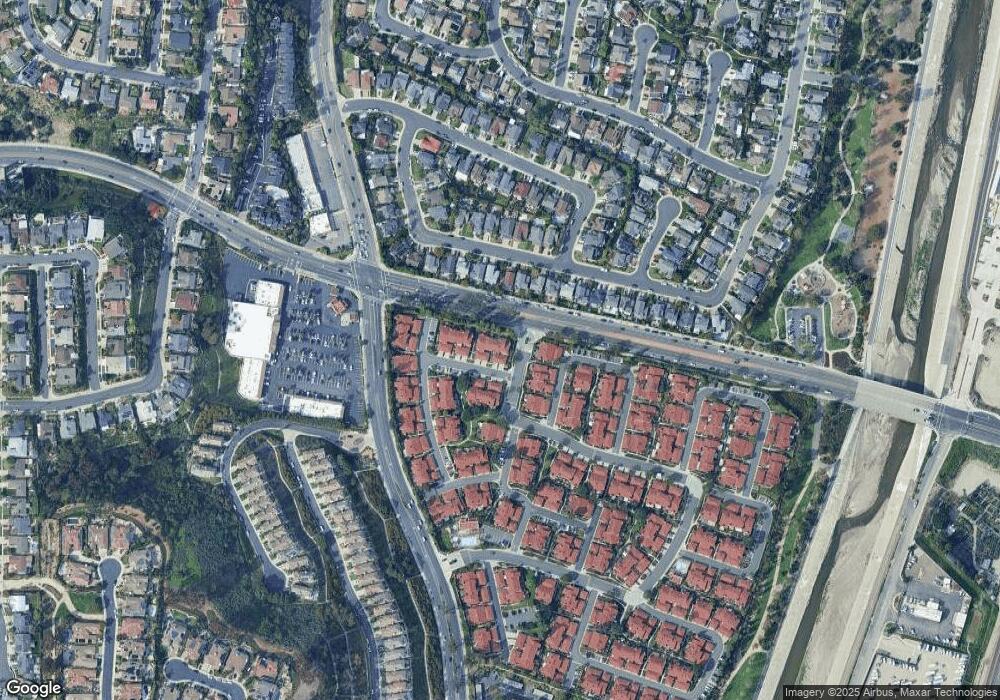
Map
Nearby Homes
- 33651 Surfside Dr Unit 41
- 33772 Bayside Ln Unit 240
- 33852 Del Obispo St Unit 70
- 33852 Del Obispo St Unit 112
- 33852 Del Obispo St Unit 2
- 33852 Del Obispo St Unit 135
- 25591 Leeward Dr
- 25382 Sea Bluffs Dr Unit 8107
- 25422 Sea Bluffs Dr Unit 207
- 25432 Sea Bluffs Dr Unit 302
- 0 Stonehill Dr Unit OC25264877
- 33856 Pequito Dr
- 33831 Camino Capistrano Unit 45
- 33831 Camino Capistrano Unit 50
- 33831 Camino Capistrano Unit 19
- 33791 Mariana Dr Unit 1
- 25102 Alicia Dr
- 34056 Pequito Dr
- 33041 Lighthouse Ct
- 34011 El Contento Dr
- 25581 Breezewood St Unit 3
- 25581 Breezewood St
- 25585 Breezewood St Unit 2
- 25575 Breezewood St
- 25591 Breezewood St Unit 1
- 25591 Breezewood St
- 25571 Breezewood St Unit 5
- 25565 Breezewood St
- 25555 Breezewood St Unit 7
- 25555 Breezewood St
- 25551 Breezewood St
- 25586 Breezewood St
- 25582 Breezewood St
- 25576 Breezewood St Unit 54
- 25592 Breezewood St Unit 57
- 33601 Port Marine Dr Unit 58
- 33605 Port Marine Dr Unit 59
- 33615 Port Marine Dr
- 33625 Port Marine Dr Unit 62
- 25546 Mainsail Way Unit 26