25587 Harleys Dr Seaford, DE 19973
Estimated Value: $317,000 - $452,000
3
Beds
--
Bath
2,520
Sq Ft
$160/Sq Ft
Est. Value
About This Home
This home is located at 25587 Harleys Dr, Seaford, DE 19973 and is currently estimated at $403,168, approximately $159 per square foot. 25587 Harleys Dr is a home with nearby schools including Seaford Central Elementary School, Blades Elementary School, and Seaford Middle School.
Ownership History
Date
Name
Owned For
Owner Type
Purchase Details
Closed on
Mar 11, 2020
Sold by
Dickerson Mindy M
Bought by
Highway 13 Holdings Llc
Current Estimated Value
Home Financials for this Owner
Home Financials are based on the most recent Mortgage that was taken out on this home.
Original Mortgage
$175,000
Outstanding Balance
$154,987
Interest Rate
3.5%
Mortgage Type
New Conventional
Estimated Equity
$248,181
Create a Home Valuation Report for This Property
The Home Valuation Report is an in-depth analysis detailing your home's value as well as a comparison with similar homes in the area
Home Values in the Area
Average Home Value in this Area
Purchase History
| Date | Buyer | Sale Price | Title Company |
|---|---|---|---|
| Highway 13 Holdings Llc | $189,000 | None Available |
Source: Public Records
Mortgage History
| Date | Status | Borrower | Loan Amount |
|---|---|---|---|
| Open | Highway 13 Holdings Llc | $175,000 |
Source: Public Records
Tax History Compared to Growth
Tax History
| Year | Tax Paid | Tax Assessment Tax Assessment Total Assessment is a certain percentage of the fair market value that is determined by local assessors to be the total taxable value of land and additions on the property. | Land | Improvement |
|---|---|---|---|---|
| 2025 | $1,463 | $25,500 | $1,500 | $24,000 |
| 2024 | $1,276 | $25,500 | $1,500 | $24,000 |
| 2023 | $1,274 | $25,500 | $1,500 | $24,000 |
| 2022 | $1,243 | $25,500 | $1,500 | $24,000 |
| 2021 | $1,248 | $25,500 | $1,500 | $24,000 |
| 2020 | $1,352 | $25,500 | $1,500 | $24,000 |
| 2019 | $1,184 | $25,500 | $1,500 | $24,000 |
| 2018 | $1,155 | $25,500 | $0 | $0 |
| 2017 | $1,095 | $25,500 | $0 | $0 |
| 2016 | $1,056 | $25,500 | $0 | $0 |
| 2015 | $1,054 | $25,500 | $0 | $0 |
| 2014 | $999 | $25,500 | $0 | $0 |
Source: Public Records
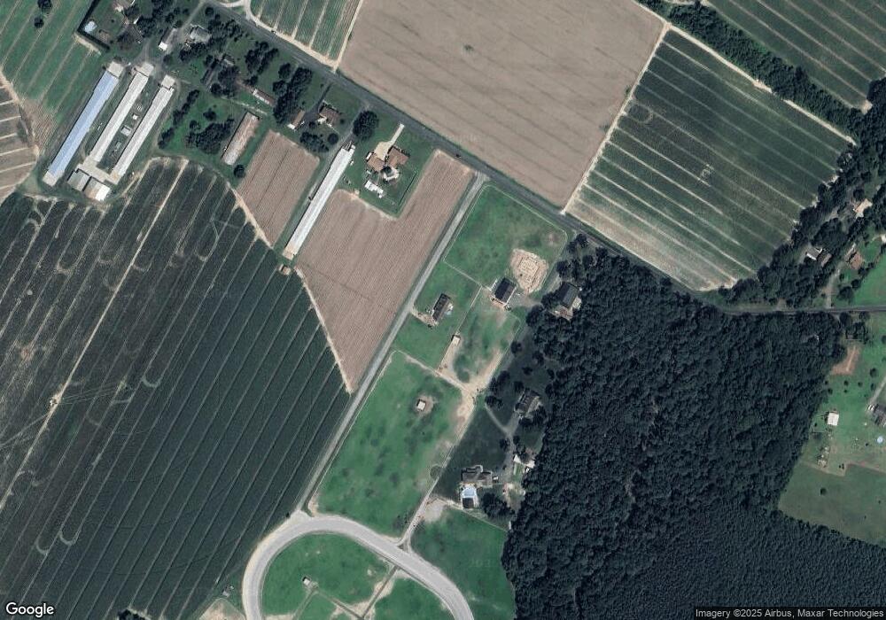
Map
Nearby Homes
- 26300 Fire Tower Rd
- 25909 Vincent Farm Ln
- 408 Long Branch Rd Unit 408LBR
- 142 Mill Pond Cir
- 25544 Pheasant Run
- 269 Cool Branch Blvd Unit 47146
- 50 Hitch Pond Cir Unit 50HPC
- 14276 Brandy Ln
- 25345 Mallard Dr
- 459 Long Branch Rd Unit 459LBR
- 71 Hitch Pond Cir
- 24780 Nichols St
- 25768 Bunny Ln
- 27002 Kaye Rd
- 25232 Mt Calvary Way
- 10717 Towers Ln
- 12454 Mirey Branch Rd
- 14880 Concord Rd
- 12455 Old Furnace Rd
- Lot A Dillards Rd
- 25731 Winners Circle Dr
- 25670 Winners Circle Dr
- 12564 Baker Mill Rd
- 12498 Baker Mill Rd
- 12482 Baker Mill Rd
- 12722 Baker Mill Rd
- 12446 Baker Mill Rd
- 12738 Baker Mill Rd
- 12810 Fleetwood Pond Rd
- 12792 Fleetwood Pond Rd
- 0 Kaye Rd Unit 1000837282
- 0 Kaye Rd Unit 1001355728
- 0 Kaye Rd Unit 1001723994
- 12741 Fleetwood Pond Rd
- 12768 Fleetwood Pond Rd
- 12731 Baker Mill Rd
- 12713 Baker Mill Rd
- 12397 Baker Mill Rd
- 12377 Baker Mill Rd
- 12292 Baker Mill Rd