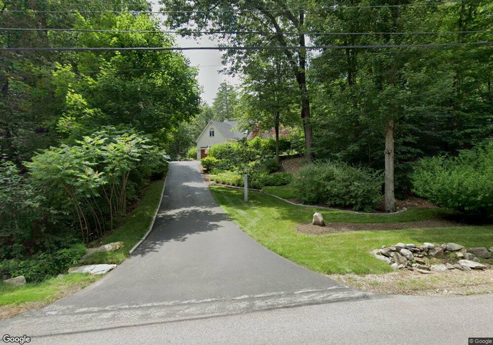
256 Addison Rd Goffstown, NH 03045
Estimated Value: $637,000 - $782,000
3
Beds
3
Baths
2,314
Sq Ft
$303/Sq Ft
Est. Value
About This Home
This home is located at 256 Addison Rd, Goffstown, NH 03045 and is currently estimated at $701,149, approximately $303 per square foot. 256 Addison Rd is a home with nearby schools including Mountain View Middle School, Goffstown High School, and Polaris Charter School.
Ownership History
Date
Name
Owned For
Owner Type
Purchase Details
Closed on
Dec 13, 2018
Sold by
Packard Arthur M and Packard Debra S
Bought by
Arthur M & D S Packard Ret
Current Estimated Value
Purchase Details
Closed on
Jan 5, 2005
Sold by
Connelly Brian J
Bought by
Packard Arthur M
Home Financials for this Owner
Home Financials are based on the most recent Mortgage that was taken out on this home.
Original Mortgage
$165,000
Interest Rate
5.75%
Mortgage Type
Purchase Money Mortgage
Create a Home Valuation Report for This Property
The Home Valuation Report is an in-depth analysis detailing your home's value as well as a comparison with similar homes in the area
Home Values in the Area
Average Home Value in this Area
Purchase History
| Date | Buyer | Sale Price | Title Company |
|---|---|---|---|
| Arthur M & D S Packard Ret | -- | -- | |
| Packard Arthur M | $365,000 | -- |
Source: Public Records
Mortgage History
| Date | Status | Borrower | Loan Amount |
|---|---|---|---|
| Previous Owner | Packard Arthur M | $155,000 | |
| Previous Owner | Packard Arthur M | $165,000 |
Source: Public Records
Tax History
| Year | Tax Paid | Tax Assessment Tax Assessment Total Assessment is a certain percentage of the fair market value that is determined by local assessors to be the total taxable value of land and additions on the property. | Land | Improvement |
|---|---|---|---|---|
| 2025 | $11,593 | $555,200 | $192,800 | $362,400 |
| 2024 | $11,348 | $555,200 | $192,800 | $362,400 |
| 2023 | $10,471 | $555,200 | $192,800 | $362,400 |
| 2022 | $9,777 | $371,600 | $127,000 | $244,600 |
| 2021 | $9,223 | $371,600 | $127,000 | $244,600 |
| 2020 | $20 | $371,600 | $127,000 | $244,600 |
| 2019 | $20 | $368,900 | $127,000 | $241,900 |
| 2018 | $283 | $368,900 | $127,000 | $241,900 |
| 2017 | $8,223 | $299,900 | $105,200 | $194,700 |
| 2016 | $37 | $299,900 | $105,200 | $194,700 |
| 2015 | $8,113 | $288,100 | $98,700 | $189,400 |
| 2014 | $7,779 | $288,100 | $98,700 | $189,400 |
Source: Public Records
Map
Nearby Homes
- 16 Angel Point Cir Unit A
- 3 Timberwood Dr Unit 301
- 114 Mast Rd
- 3A Dearborn Cir
- 3B Dearborn Cir
- 4C Dearborn Cir
- 5B Dearborn Cir
- 3C Dearborn Cir
- 4B Dearborn Cir
- 0 Mast Rd Unit 49 5054665
- 6 Mustang Ct
- 11-1 Chatel Rd
- 89 Moose Club Park Rd
- 2 Shore Dr
- 401 Wallace Rd
- 179 Donald Dr
- 19 My Way
- 73 River Ledge Dr
- Lot 6 Aisling Ln Unit Lot 6 - The Silverto
- 405 Upland St
- 245 Addison Rd
- 262 Addison Rd
- 265 Addison Rd
- 250 Addison Rd
- 231 Addison Rd
- 220 Addison Rd
- 3-26 Addison Rd
- 278 Addison Rd
- 11 Zan Dr
- 7 Zan Dr
- 219 Addison Rd
- 286 Addison Rd
- 12 Winding Brook Rd
- 285 Addison Rd
- 212 Addison Rd
- 18 Winding Brook Rd
- 11 Winding Brook Rd
- 3 Winding Brook Rd Unit A
- 219 Kennedy Hill Rd
- 298 Addison Rd
Your Personal Tour Guide
Ask me questions while you tour the home.