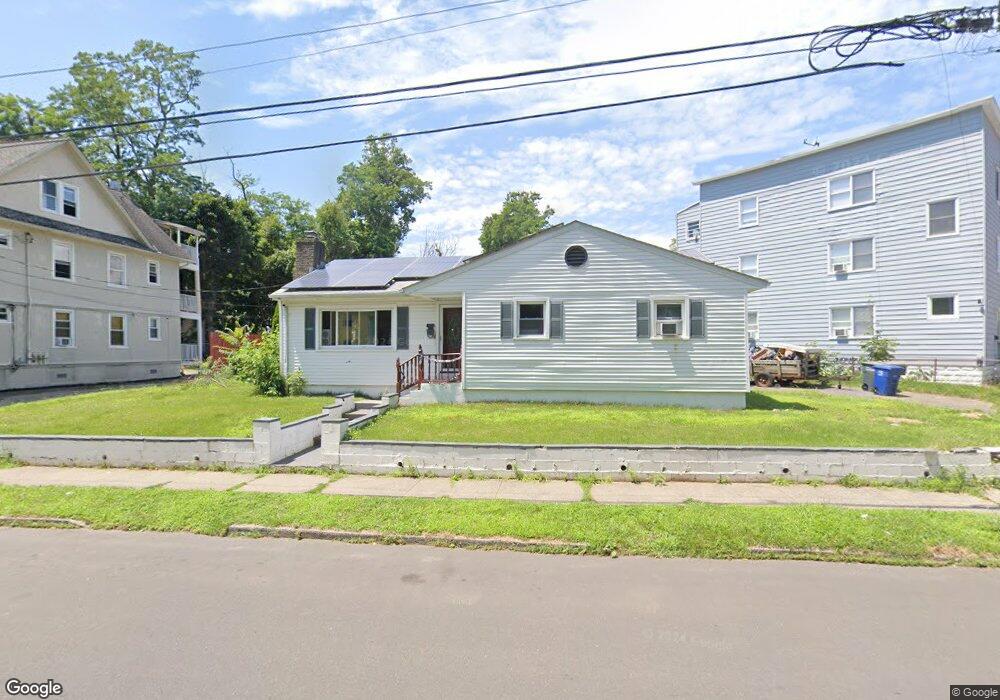
256 Arlington St Bridgeport, CT 06606
Brooklawn-Saint Vincent NeighborhoodEstimated Value: $322,000 - $437,388
3
Beds
2
Baths
1,250
Sq Ft
$317/Sq Ft
Est. Value
About This Home
This home is located at 256 Arlington St, Bridgeport, CT 06606 and is currently estimated at $396,347, approximately $317 per square foot. 256 Arlington St is a home located in Fairfield County with nearby schools including Blackham School, Central High School, and Catholic Academy of Bridgeport-St. Raphael Academy.
Ownership History
Date
Name
Owned For
Owner Type
Purchase Details
Closed on
Aug 22, 2003
Sold by
Cotto Jose F
Bought by
Rivera Ruth
Current Estimated Value
Home Financials for this Owner
Home Financials are based on the most recent Mortgage that was taken out on this home.
Original Mortgage
$135,000
Interest Rate
5.52%
Create a Home Valuation Report for This Property
The Home Valuation Report is an in-depth analysis detailing your home's value as well as a comparison with similar homes in the area
Home Values in the Area
Average Home Value in this Area
Purchase History
| Date | Buyer | Sale Price | Title Company |
|---|---|---|---|
| Rivera Ruth | $150,000 | -- | |
| Rivera Ruth V | $150,000 | -- |
Source: Public Records
Mortgage History
| Date | Status | Borrower | Loan Amount |
|---|---|---|---|
| Open | Rivera Ruth V | $106,000 | |
| Closed | Rivera Ruth V | $135,000 |
Source: Public Records
Tax History Compared to Growth
Tax History
| Year | Tax Paid | Tax Assessment Tax Assessment Total Assessment is a certain percentage of the fair market value that is determined by local assessors to be the total taxable value of land and additions on the property. | Land | Improvement |
|---|---|---|---|---|
| 2025 | $7,426 | $170,910 | $77,230 | $93,680 |
| 2024 | $7,426 | $170,910 | $77,230 | $93,680 |
| 2023 | $7,426 | $170,910 | $77,230 | $93,680 |
| 2022 | $7,426 | $170,910 | $77,230 | $93,680 |
| 2021 | $7,426 | $170,910 | $77,230 | $93,680 |
| 2020 | $6,548 | $121,280 | $40,330 | $80,950 |
| 2019 | $6,548 | $121,280 | $40,330 | $80,950 |
| 2018 | $6,594 | $121,280 | $40,330 | $80,950 |
| 2017 | $6,594 | $121,280 | $40,330 | $80,950 |
| 2016 | $6,594 | $121,280 | $40,330 | $80,950 |
| 2015 | $6,411 | $151,920 | $48,830 | $103,090 |
| 2014 | $6,411 | $151,920 | $48,830 | $103,090 |
Source: Public Records
Map
Nearby Homes
- 201 High Ridge Dr
- 125 Alexander Dr
- 150 Alexander Dr
- 11 Myron Ave
- 241 Sampson St
- 1275 Capitol Ave
- 119 Madison Terrace
- 2345 Park Ave
- 2445 Park Ave Unit 23
- 76 Suburban Ave
- 356 Taft Ave
- 2625 Park Ave Unit 12L
- 2625 Park Ave Unit 5N
- 31 Taft Ave
- 724 Capitol Ave Unit 726
- 390 Charles St Unit 106
- 1480 Capitol Ave Unit 811
- 2675 Park Ave Unit 3
- 2675 Park Ave Unit 22
- 508 Hawley Ave
- 5 Sampson St
- 278 Arlington St
- 278 Arlington St Unit 1sf
- 546 Lincoln Ave
- 588 Lincoln Ave
- 31--33 Sampson St
- 544 Lincoln Ave
- 31 Sampson St
- 33 Sampson St
- 28 Sampson St Unit 2
- 28 Sampson St Unit 3
- 28 Sampson St
- 600 Lincoln Ave
- 205 Arlington St
- 39 Sampson St
- 528 Lincoln Ave
- 41 Sampson St
- 610 Lincoln Ave
- 202 Arlington St
- 553 Lincoln Ave Unit 555