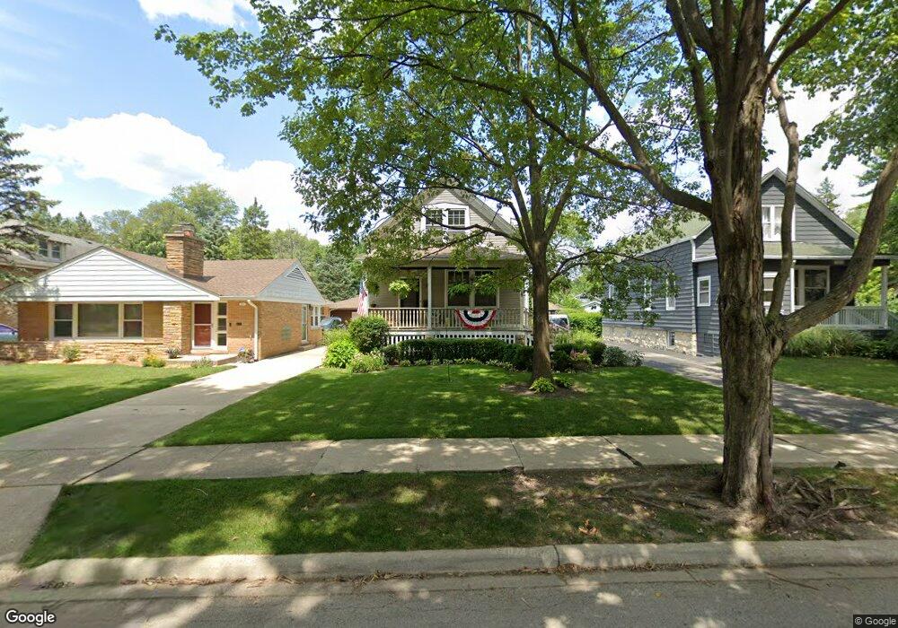
256 Blackhawk Rd Riverside, IL 60546
Estimated Value: $507,000 - $677,000
4
Beds
2
Baths
1,914
Sq Ft
$309/Sq Ft
Est. Value
About This Home
This home is located at 256 Blackhawk Rd, Riverside, IL 60546 and is currently estimated at $592,067, approximately $309 per square foot. 256 Blackhawk Rd is a home located in Cook County with nearby schools including Central Elementary School, L J Hauser Jr High School, and Riverside Brookfield High School.
Ownership History
Date
Name
Owned For
Owner Type
Purchase Details
Closed on
Apr 30, 2014
Sold by
Lanzel Marvin G and Aldridge Wayne Lee
Bought by
Mcmanus Barry and Desort Beverly
Current Estimated Value
Purchase Details
Closed on
Apr 3, 2001
Sold by
Banis Dianne
Bought by
Killeen Josephine and Banis Dianne
Create a Home Valuation Report for This Property
The Home Valuation Report is an in-depth analysis detailing your home's value as well as a comparison with similar homes in the area
Home Values in the Area
Average Home Value in this Area
Purchase History
| Date | Buyer | Sale Price | Title Company |
|---|---|---|---|
| Mcmanus Barry | $250,000 | First American Title | |
| Killeen Josephine | -- | -- |
Source: Public Records
Tax History
| Year | Tax Paid | Tax Assessment Tax Assessment Total Assessment is a certain percentage of the fair market value that is determined by local assessors to be the total taxable value of land and additions on the property. | Land | Improvement |
|---|---|---|---|---|
| 2025 | $12,419 | $42,135 | $8,200 | $33,935 |
| 2024 | $12,419 | $42,135 | $8,200 | $33,935 |
| 2023 | $9,568 | $42,135 | $8,200 | $33,935 |
| 2022 | $9,568 | $28,401 | $7,175 | $21,226 |
| 2021 | $9,227 | $28,401 | $7,175 | $21,226 |
| 2020 | $10,175 | $31,685 | $7,175 | $24,510 |
| 2019 | $9,859 | $31,442 | $6,560 | $24,882 |
| 2018 | $9,568 | $31,442 | $6,560 | $24,882 |
| 2017 | $9,916 | $33,375 | $6,560 | $26,815 |
| 2016 | $7,997 | $25,205 | $5,740 | $19,465 |
| 2015 | $8,151 | $26,311 | $5,740 | $20,571 |
| 2014 | $8,369 | $27,314 | $5,740 | $21,574 |
| 2013 | $7,884 | $27,900 | $5,740 | $22,160 |
Source: Public Records
Map
Nearby Homes
- 262 Lionel Rd
- 280 Blackhawk Rd
- 284 Blackhawk Rd
- 176 Riverside Rd
- 7336 39th St
- 7330 39th St
- 7335 Oakwood Ave Unit P-10
- 7335 Oakwood Ave Unit P-12
- 7335 Oakwood Ave Unit P-8
- 7335 Oakwood Ave Unit P-11
- 7335 Oakwood Ave Unit P-14
- 7316 40th St Unit 2E
- 7316 40th St Unit P-9
- 7316 40th St Unit P-10
- 7316 40th St Unit P-13
- 108 E Burlington St Unit B
- 10 E Burlington St Unit 2C
- 10 E Burlington St Unit 2B
- 3829 Wisconsin Ave
- 4129 Gage Ave
- 250 Blackhawk Rd
- 260 Blackhawk Rd
- 248 Blackhawk Rd
- 264 Blackhawk Rd
- 240 Blackhawk Rd
- 268 Blackhawk Rd
- 229 Olmsted Rd
- 225 Olmsted Rd
- 233 Olmsted Rd
- 221 Olmsted Rd
- 238 Blackhawk Rd
- 272 Blackhawk Rd
- 237 Olmsted Rd
- 261 Blackhawk Rd
- 253 Blackhawk Rd
- 263 Blackhawk Rd
- 269 Blackhawk Rd
- 249 Blackhawk Rd
- 265 Blackhawk Rd
- 236 Blackhawk Rd
Your Personal Tour Guide
Ask me questions while you tour the home.