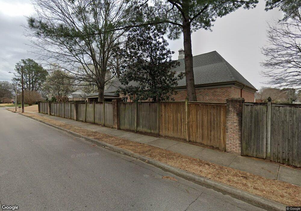
256 Brenrich Cove N Memphis, TN 38117
Audubon Park NeighborhoodEstimated Value: $700,000 - $886,000
4
Beds
5
Baths
6,260
Sq Ft
$123/Sq Ft
Est. Value
About This Home
This home is located at 256 Brenrich Cove N, Memphis, TN 38117 and is currently estimated at $771,093, approximately $123 per square foot. 256 Brenrich Cove N is a home located in Shelby County with nearby schools including Richland Elementary School, White Station Middle, and White Station High.
Ownership History
Date
Name
Owned For
Owner Type
Purchase Details
Closed on
May 1, 2008
Sold by
Dedek Rita Jo N
Bought by
Kelly Derek M and Kelly Hallie R
Current Estimated Value
Home Financials for this Owner
Home Financials are based on the most recent Mortgage that was taken out on this home.
Original Mortgage
$417,000
Interest Rate
5.82%
Mortgage Type
Purchase Money Mortgage
Purchase Details
Closed on
Sep 24, 2002
Sold by
Dedek Robert S and Dedek Rita Jo
Bought by
Dedek Robert S and Dedek Rita Jo N
Purchase Details
Closed on
Feb 23, 1999
Sold by
Justine Place Llc
Bought by
Dedek Robert S and Dedek Rita Jo
Home Financials for this Owner
Home Financials are based on the most recent Mortgage that was taken out on this home.
Original Mortgage
$380,000
Interest Rate
6.84%
Create a Home Valuation Report for This Property
The Home Valuation Report is an in-depth analysis detailing your home's value as well as a comparison with similar homes in the area
Home Values in the Area
Average Home Value in this Area
Purchase History
| Date | Buyer | Sale Price | Title Company |
|---|---|---|---|
| Kelly Derek M | $575,000 | None Available | |
| Dedek Robert S | -- | -- | |
| Dedek Robert S | $88,000 | -- |
Source: Public Records
Mortgage History
| Date | Status | Borrower | Loan Amount |
|---|---|---|---|
| Closed | Kelly Derek M | $417,000 | |
| Previous Owner | Dedek Robert S | $380,000 |
Source: Public Records
Tax History Compared to Growth
Tax History
| Year | Tax Paid | Tax Assessment Tax Assessment Total Assessment is a certain percentage of the fair market value that is determined by local assessors to be the total taxable value of land and additions on the property. | Land | Improvement |
|---|---|---|---|---|
| 2025 | $5,591 | $197,400 | $21,375 | $176,025 |
| 2024 | $5,591 | $164,925 | $27,250 | $137,675 |
| 2023 | $10,047 | $164,925 | $27,250 | $137,675 |
| 2022 | $10,047 | $164,925 | $27,250 | $137,675 |
| 2021 | $10,164 | $164,925 | $27,250 | $137,675 |
| 2020 | $9,544 | $128,250 | $27,250 | $101,000 |
| 2019 | $9,538 | $131,625 | $27,250 | $104,375 |
| 2018 | $9,538 | $131,625 | $27,250 | $104,375 |
| 2017 | $5,410 | $131,625 | $27,250 | $104,375 |
| 2016 | $5,417 | $123,950 | $0 | $0 |
| 2014 | $5,417 | $123,950 | $0 | $0 |
Source: Public Records
Map
Nearby Homes
- 258 N White Station Rd
- 296 N White Station Rd
- 226 N White Station Rd
- 5238 Peg Ln
- 192 N White Station Rd
- 5340 Rich Rd
- 5362 Wilton Ave
- 151 N White Station Rd
- 379 Mcelroy Rd
- 142 W Bendel Cir
- 202 Betty jo Ln
- 125 W Bendel Cir
- 5121 Lynbar Ave
- 446 Rosser Rd
- 448 N White Station Rd
- 5360 Normandy Ave
- 422 Mcelroy Rd
- 346 Leonora Dr
- 352 Leonora Dr
- 430 Mcelroy Rd
- 5297 Brenton Ave
- 257 Brenrich Cove N
- 240 Brenrich Cove N
- 5299 Denwood Ave
- 273 Meadvale Rd
- 251 Brenrich Cove N
- 5280 Brenton Ave
- 245 Brenrich Cove N
- 5301 Denwood Ave
- 5270 Brenton Ave
- 234 Brenrich Cove N
- 239 Brenrich Cove N
- 5302 Brenton Ave
- 281 Meadvale Rd
- 5260 Brenton Ave
- 233 Brenrich Cove N
- 5308 Denwood Ave
- 226 Brenrich Cove N
- 5312 Brenton Ave
- 248 N White Station Rd