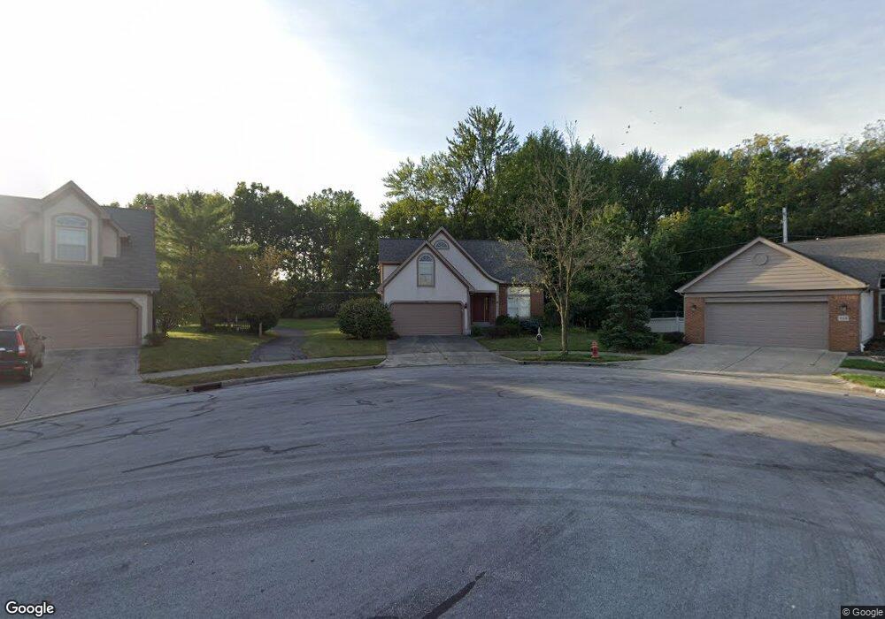
256 Cornerstone Ct Westerville, OH 43081
Estimated Value: $443,901 - $500,000
4
Beds
3
Baths
2,140
Sq Ft
$220/Sq Ft
Est. Value
About This Home
This home is located at 256 Cornerstone Ct, Westerville, OH 43081 and is currently estimated at $471,475, approximately $220 per square foot. 256 Cornerstone Ct is a home located in Franklin County with nearby schools including Mcvay Elementary School, Walnut Springs Middle School, and Westerville-North High School.
Ownership History
Date
Name
Owned For
Owner Type
Purchase Details
Closed on
Mar 21, 1995
Sold by
M/I Schottenstein Homes
Bought by
Frank R Langner
Current Estimated Value
Home Financials for this Owner
Home Financials are based on the most recent Mortgage that was taken out on this home.
Original Mortgage
$128,000
Interest Rate
8.97%
Mortgage Type
New Conventional
Purchase Details
Closed on
Sep 9, 1994
Sold by
Raven Dev Co
Bought by
M/I Schottensten Homes Inc
Create a Home Valuation Report for This Property
The Home Valuation Report is an in-depth analysis detailing your home's value as well as a comparison with similar homes in the area
Home Values in the Area
Average Home Value in this Area
Purchase History
| Date | Buyer | Sale Price | Title Company |
|---|---|---|---|
| Frank R Langner | $180,685 | -- | |
| M/I Schottensten Homes Inc | $147,500 | -- |
Source: Public Records
Mortgage History
| Date | Status | Borrower | Loan Amount |
|---|---|---|---|
| Closed | Frank R Langner | $128,000 |
Source: Public Records
Tax History
| Year | Tax Paid | Tax Assessment Tax Assessment Total Assessment is a certain percentage of the fair market value that is determined by local assessors to be the total taxable value of land and additions on the property. | Land | Improvement |
|---|---|---|---|---|
| 2025 | $7,622 | $134,120 | $28,000 | $106,120 |
| 2024 | $7,622 | $134,120 | $28,000 | $106,120 |
| 2023 | $7,461 | $134,120 | $28,000 | $106,120 |
| 2022 | $7,818 | $107,310 | $21,000 | $86,310 |
| 2021 | $7,884 | $107,310 | $21,000 | $86,310 |
| 2020 | $7,861 | $107,310 | $21,000 | $86,310 |
| 2019 | $6,904 | $88,970 | $17,500 | $71,470 |
| 2018 | $6,381 | $88,970 | $17,500 | $71,470 |
| 2017 | $6,790 | $88,970 | $17,500 | $71,470 |
| 2016 | $6,189 | $73,820 | $16,800 | $57,020 |
| 2015 | $5,994 | $73,820 | $16,800 | $57,020 |
| 2014 | $5,999 | $73,820 | $16,800 | $57,020 |
| 2013 | $2,995 | $73,815 | $16,800 | $57,015 |
Source: Public Records
Map
Nearby Homes
- 961 E College Ave
- 180 Oakwood Ct
- 994 Autumn Lake Ct
- 45 Kanpur Place
- 612 E Schrock Rd
- 636 E Schrock Rd
- 960 Lakeland Dr
- 487 Beachside Dr
- 615 Vancouver Dr
- 415-417 E Walnut St
- 291 Mohawk Ave
- 456 Saint Thomas Dr
- 322 Huber Village Blvd
- 974 Timberbank Dr
- 321 Northgate Ct Unit B
- 971 Timberbank Dr
- 166 Allview Rd
- 304 Crosswind Dr Unit A, B, C, D, E, F
- 182 Cherrington Rd
- 204 Barcelona Ave
- 248 Cornerstone Ct
- 255 Cornerstone Ct
- 242 Cornerstone Ct
- 251 Cornerstone Ct
- 247 Cornerstone Ct
- 1259 Millstone Square
- 236 Cornerstone Ct
- 241 Cornerstone Ct
- 1257 Millstone Square
- 252 Brownstone Ct
- 1261 Millstone Square
- 117 Bitternut Ln
- 1255 Millstone Square
- 235 Cornerstone Ct
- 250 Brownstone Ct
- 254 Brownstone Ct
- 244 Brownstone Ct
- 230 Cornerstone Ct
- 1253 Millstone Square
- 238 Brownstone Ct