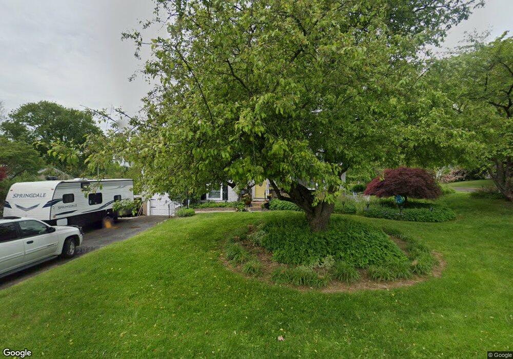
256 Harding Rd Southampton, PA 18966
Estimated Value: $466,000 - $499,239
--
Bed
2
Baths
1,389
Sq Ft
$345/Sq Ft
Est. Value
About This Home
This home is located at 256 Harding Rd, Southampton, PA 18966 and is currently estimated at $479,060, approximately $344 per square foot. 256 Harding Rd is a home located in Bucks County with nearby schools including Davis Elementary School, Klinger Middle School, and William Tennent High School.
Ownership History
Date
Name
Owned For
Owner Type
Purchase Details
Closed on
Dec 21, 2006
Sold by
Konow Matthew and Konow Nicole
Bought by
Konow Matthew
Current Estimated Value
Purchase Details
Closed on
Jan 3, 2005
Sold by
Senski Walter and Senski Amara
Bought by
Konow Matthew and Konow Nicole
Home Financials for this Owner
Home Financials are based on the most recent Mortgage that was taken out on this home.
Original Mortgage
$220,000
Outstanding Balance
$111,515
Interest Rate
5.81%
Mortgage Type
New Conventional
Estimated Equity
$367,545
Create a Home Valuation Report for This Property
The Home Valuation Report is an in-depth analysis detailing your home's value as well as a comparison with similar homes in the area
Home Values in the Area
Average Home Value in this Area
Purchase History
| Date | Buyer | Sale Price | Title Company |
|---|---|---|---|
| Konow Matthew | -- | None Available | |
| Konow Matthew | $285,000 | -- |
Source: Public Records
Mortgage History
| Date | Status | Borrower | Loan Amount |
|---|---|---|---|
| Open | Konow Matthew | $220,000 | |
| Closed | Konow Matthew | $28,450 |
Source: Public Records
Tax History Compared to Growth
Tax History
| Year | Tax Paid | Tax Assessment Tax Assessment Total Assessment is a certain percentage of the fair market value that is determined by local assessors to be the total taxable value of land and additions on the property. | Land | Improvement |
|---|---|---|---|---|
| 2025 | $5,390 | $25,200 | $6,080 | $19,120 |
| 2024 | $5,390 | $25,200 | $6,080 | $19,120 |
| 2023 | $5,226 | $25,200 | $6,080 | $19,120 |
| 2022 | $5,116 | $25,200 | $6,080 | $19,120 |
| 2021 | $5,024 | $25,200 | $6,080 | $19,120 |
| 2020 | $4,954 | $25,200 | $6,080 | $19,120 |
| 2019 | $4,772 | $25,200 | $6,080 | $19,120 |
| 2018 | $4,662 | $25,200 | $6,080 | $19,120 |
| 2017 | $4,530 | $25,200 | $6,080 | $19,120 |
| 2016 | $4,530 | $25,200 | $6,080 | $19,120 |
| 2015 | -- | $25,200 | $6,080 | $19,120 |
| 2014 | -- | $25,200 | $6,080 | $19,120 |
Source: Public Records
Map
Nearby Homes
- 1020 Pennsylvania Ave
- 215 Surrey Rd
- 694 Davisville Rd
- 1244 Hiview Dr
- 766 Meadow Dr
- 559 Maple Ave
- 1310 Dennis Rd
- 1081 Cherry Ln
- 615 Belmont Ave
- 448 W Bristol Rd
- 202 E Hampton Crossing
- 665 Whirlaway Dr
- 206 E Hampton Crossing
- 909 Carlin Dr
- 564 Byron Rd
- 19 Belmont Station
- 52 Belmont Station
- 55 Belmont Station Unit G55
- 325 Toll Dr
- 756 Street Rd Unit 17