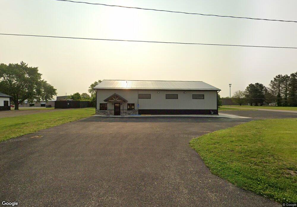
256 N 30th St Springfield, MI 49037
Estimated Value: $200,366
Studio
--
Bath
4,000
Sq Ft
$50/Sq Ft
Est. Value
About This Home
This home is located at 256 N 30th St, Springfield, MI 49037 and is currently estimated at $200,366, approximately $50 per square foot. 256 N 30th St is a home located in Calhoun County with nearby schools including Valley View Elementary School, Springfield Middle School, and Battle Creek Central High School.
Ownership History
Date
Name
Owned For
Owner Type
Purchase Details
Closed on
Feb 18, 2025
Sold by
Jon Homrich Diesel Llc
Bought by
256 North 30Th St Springfield Llc
Current Estimated Value
Purchase Details
Closed on
Oct 10, 2019
Sold by
Lincoln Lyndon
Bought by
Jon Homrick Diesel Llc
Home Financials for this Owner
Home Financials are based on the most recent Mortgage that was taken out on this home.
Original Mortgage
$80,000
Interest Rate
3.5%
Mortgage Type
Commercial
Create a Home Valuation Report for This Property
The Home Valuation Report is an in-depth analysis detailing your home's value as well as a comparison with similar homes in the area
Home Values in the Area
Average Home Value in this Area
Purchase History
| Date | Buyer | Sale Price | Title Company |
|---|---|---|---|
| 256 North 30Th St Springfield Llc | -- | None Listed On Document | |
| Jon Homrick Diesel Llc | $100,000 | None Available |
Source: Public Records
Mortgage History
| Date | Status | Borrower | Loan Amount |
|---|---|---|---|
| Previous Owner | Jon Homrick Diesel Llc | $80,000 |
Source: Public Records
Map
Nearby Homes
- 185 Kirkwood Ave
- 113 31st St N
- 248 23rd St N
- 172 25th St N
- 745 Upton Ave
- 50 Wellworth Ave
- 153 23rd St N
- 1332 W Highland Blvd
- 294 20th St N
- 690 Upton Ave
- 396 & 398 N 20th St
- 121 21st St N
- 446 24th St N
- 430 21st St N
- 27 20th St N
- 1243 Territorial Rd W
- 1225 Territorial Rd W
- 17 20th St N
- 48 31st St S
- 141 Wiltshire Ave
- 2827 Wilbur St
- 257 N 30th St
- 2821 Wilbur Ave
- 0 N 30th St
- 2822 Wilbur Ave
- 2869 W Dickman Rd
- 2535 5th Ave Unit A
- 2535 5th St
- 2535 5th St Unit 2
- 287 N 30th St
- 2943 W Dickman Rd
- 224 N 30th St
- 224 N 30th St
- 2825 6th Ave
- 2959 W Dickman Rd
- 2821 6th Ave
- 1200 Frisbie Blvd
- 290 N 30th St
- 2785 W Dickman Rd
- 2961 W Dickman Rd
Your Personal Tour Guide
Ask me questions while you tour the home.