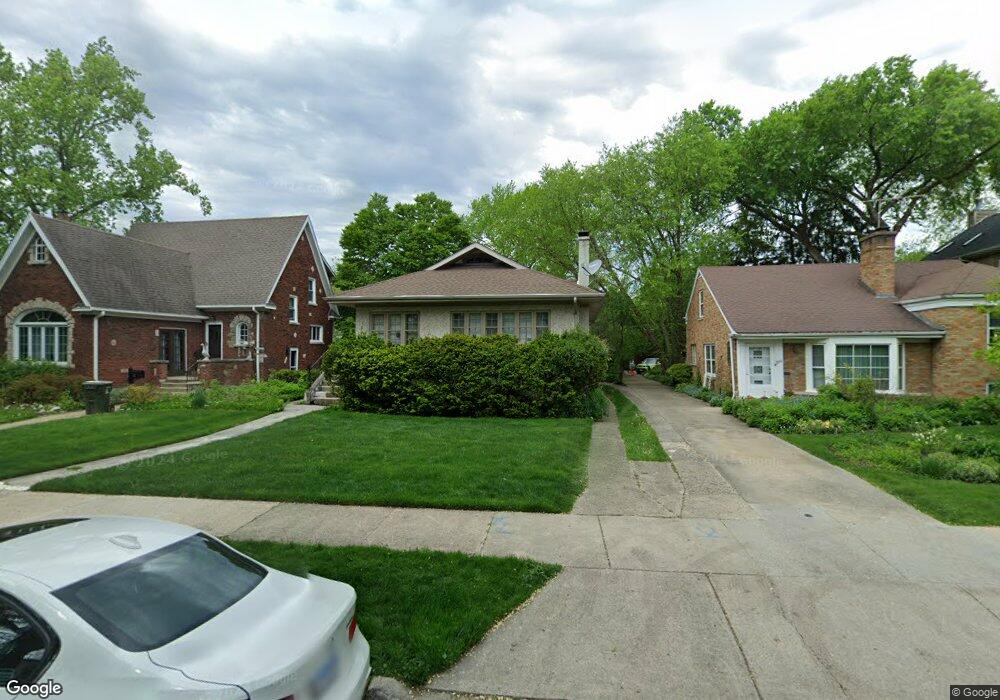
256 Olmsted Rd Riverside, IL 60546
Estimated Value: $401,071 - $463,000
3
Beds
1
Bath
1,133
Sq Ft
$377/Sq Ft
Est. Value
About This Home
This home is located at 256 Olmsted Rd, Riverside, IL 60546 and is currently estimated at $427,018, approximately $376 per square foot. 256 Olmsted Rd is a home located in Cook County with nearby schools including Central Elementary School, L J Hauser Jr High School, and Riverside Brookfield High School.
Ownership History
Date
Name
Owned For
Owner Type
Purchase Details
Closed on
Nov 14, 2003
Sold by
Gerometta Robert P and Gerometta Susan C
Bought by
Keating David H and Piedras Renteria Erika S
Current Estimated Value
Home Financials for this Owner
Home Financials are based on the most recent Mortgage that was taken out on this home.
Original Mortgage
$283,500
Outstanding Balance
$128,921
Interest Rate
6.07%
Mortgage Type
Unknown
Estimated Equity
$298,097
Create a Home Valuation Report for This Property
The Home Valuation Report is an in-depth analysis detailing your home's value as well as a comparison with similar homes in the area
Home Values in the Area
Average Home Value in this Area
Purchase History
| Date | Buyer | Sale Price | Title Company |
|---|---|---|---|
| Keating David H | $315,000 | Atg |
Source: Public Records
Mortgage History
| Date | Status | Borrower | Loan Amount |
|---|---|---|---|
| Open | Keating David H | $283,500 |
Source: Public Records
Tax History
| Year | Tax Paid | Tax Assessment Tax Assessment Total Assessment is a certain percentage of the fair market value that is determined by local assessors to be the total taxable value of land and additions on the property. | Land | Improvement |
|---|---|---|---|---|
| 2025 | $8,857 | $31,000 | $8,128 | $22,872 |
| 2024 | $8,857 | $31,000 | $8,128 | $22,872 |
| 2023 | $10,924 | $31,000 | $8,128 | $22,872 |
| 2022 | $10,924 | $31,941 | $7,112 | $24,829 |
| 2021 | $10,530 | $31,940 | $7,112 | $24,828 |
| 2020 | $10,266 | $31,940 | $7,112 | $24,828 |
| 2019 | $7,447 | $24,587 | $6,502 | $18,085 |
| 2018 | $7,226 | $24,587 | $6,502 | $18,085 |
| 2017 | $7,012 | $24,587 | $6,502 | $18,085 |
| 2016 | $5,956 | $19,410 | $5,689 | $13,721 |
| 2015 | $5,776 | $19,410 | $5,689 | $13,721 |
| 2014 | $5,696 | $19,410 | $5,689 | $13,721 |
| 2013 | $7,844 | $27,772 | $5,689 | $22,083 |
Source: Public Records
Map
Nearby Homes
- 284 Blackhawk Rd
- 280 Blackhawk Rd
- 262 Lionel Rd
- 176 Riverside Rd
- 7336 39th St
- 7330 39th St
- 108 E Burlington St Unit B
- 7335 Oakwood Ave Unit P-10
- 7335 Oakwood Ave Unit P-12
- 7335 Oakwood Ave Unit P-8
- 7335 Oakwood Ave Unit P-11
- 7335 Oakwood Ave Unit P-14
- 7316 40th St Unit 2E
- 7316 40th St Unit P-9
- 7316 40th St Unit P-10
- 7316 40th St Unit P-13
- 269 Shenstone Rd
- 7048 35th St
- 369 Addison Rd
- 10 E Burlington St Unit 2C
Your Personal Tour Guide
Ask me questions while you tour the home.