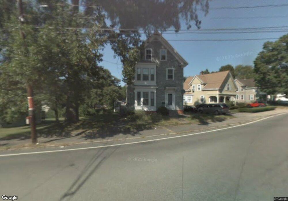
256 Perkins Ave Brockton, MA 02302
Campello Neighborhood
4
Beds
2
Baths
2,088
Sq Ft
8,625
Sq Ft Lot
About This Home
This home is located at 256 Perkins Ave, Brockton, MA 02302. 256 Perkins Ave is a home located in Plymouth County with nearby schools including Davis K-8 School, John F. Kennedy Elementary School, and South Middle School.
Ownership History
Date
Name
Owned For
Owner Type
Purchase Details
Closed on
May 16, 2014
Sold by
Young John P
Bought by
Bills Father and Bills Mainsprin
Home Financials for this Owner
Home Financials are based on the most recent Mortgage that was taken out on this home.
Original Mortgage
$1,500,000
Outstanding Balance
$1,147,011
Interest Rate
4.42%
Mortgage Type
Purchase Money Mortgage
Purchase Details
Closed on
May 14, 2009
Sold by
Pam Ibrahim C and Chiles Holdings Ltd
Bought by
Young John P
Home Financials for this Owner
Home Financials are based on the most recent Mortgage that was taken out on this home.
Original Mortgage
$84,000
Interest Rate
4.85%
Mortgage Type
Purchase Money Mortgage
Purchase Details
Closed on
Mar 4, 2003
Sold by
Amrhein Joseph F and Amrhein Ann F
Bought by
Pam Ibrahim C and Pam Judith R
Create a Home Valuation Report for This Property
The Home Valuation Report is an in-depth analysis detailing your home's value as well as a comparison with similar homes in the area
Home Values in the Area
Average Home Value in this Area
Purchase History
| Date | Buyer | Sale Price | Title Company |
|---|---|---|---|
| Bills Father | $210,000 | -- | |
| Young John P | $84,000 | -- | |
| Pam Ibrahim C | $269,900 | -- |
Source: Public Records
Mortgage History
| Date | Status | Borrower | Loan Amount |
|---|---|---|---|
| Open | Bills Father | $1,500,000 | |
| Previous Owner | Pam Ibrahim C | $85,000 | |
| Previous Owner | Pam Ibrahim C | $84,000 | |
| Previous Owner | Pam Ibrahim C | $30,000 |
Source: Public Records
Tax History Compared to Growth
Tax History
| Year | Tax Paid | Tax Assessment Tax Assessment Total Assessment is a certain percentage of the fair market value that is determined by local assessors to be the total taxable value of land and additions on the property. | Land | Improvement |
|---|---|---|---|---|
| 2025 | -- | $453,400 | $140,300 | $313,100 |
| 2024 | -- | $453,400 | $140,300 | $313,100 |
| 2023 | $0 | $418,300 | $105,200 | $313,100 |
| 2022 | $0 | $389,400 | $95,600 | $293,800 |
| 2021 | $0 | $373,400 | $79,600 | $293,800 |
| 2020 | $0 | $301,100 | $74,400 | $226,700 |
| 2019 | $0 | $237,600 | $72,500 | $165,100 |
| 2018 | $0 | $229,300 | $72,500 | $156,800 |
| 2017 | -- | $229,300 | $72,500 | $156,800 |
| 2016 | -- | $209,050 | $70,300 | $138,750 |
| 2015 | -- | $170,070 | $70,300 | $99,770 |
| 2014 | $3,258 | $179,700 | $70,300 | $109,400 |
Source: Public Records
Map
Nearby Homes
- 44 Baker St
- 112 Hillside Ave
- 34 Carl Ave
- 163 S Leyden St
- 54 Ferris Ave
- 28 Wallace St
- 12 Paulin Ave
- 223 Clinton St Unit 10
- 223 Clinton St Unit 3
- 70 Carlisle St
- 229 Sinclair Rd
- 221 Sinclair Rd
- 265 Summer St
- 103 Clinton St
- 16 Yuba Cir
- 122 Sinclair Rd
- 24 Ithica Rd
- 74 Oakland St
- 65 Tremont St
- 597 East St
- 254 Perkins Ave
- 575 Summer St
- 248 Perkins Ave
- 202 Concord St
- 584 Summer St
- 567 Summer St
- 15 Burton Ave
- 19 Burton Ave
- 253 Perkins Ave
- 253 Perkins Ave Unit 1
- 253 Perkins Ave Unit 2
- 570 Summer St
- 23 Burton Ave
- 243 Perkins Ave
- 232 Perkins Ave
- 564 Summer St
- 29 Burton Ave
- 237 Perkins Ave
- 601 Summer St
- 560 Summer St