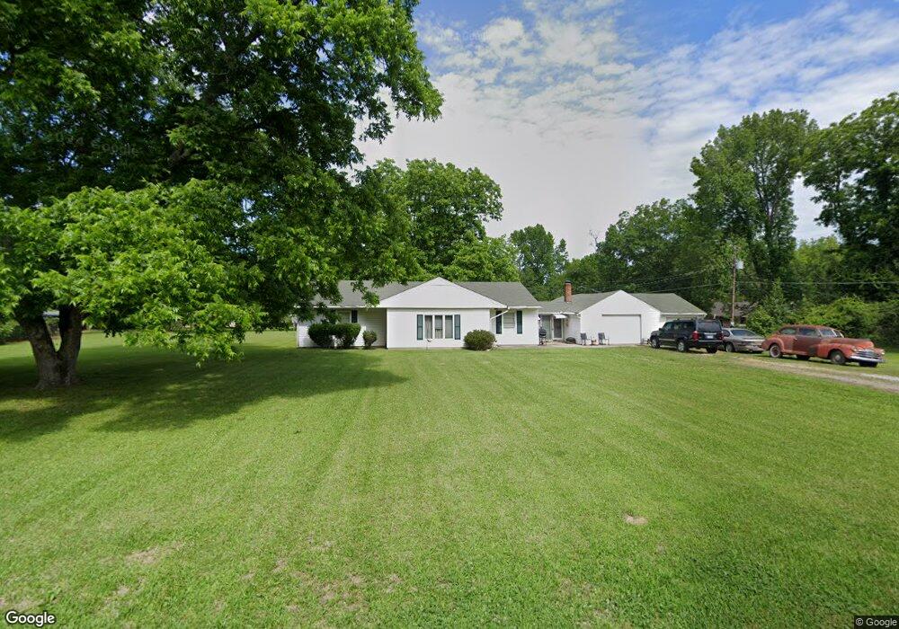
256 W Loop Dr West Point, MS 39773
Estimated Value: $121,012 - $213,000
3
Beds
--
Bath
2,084
Sq Ft
$75/Sq Ft
Est. Value
About This Home
This home is located at 256 W Loop Dr, West Point, MS 39773 and is currently estimated at $156,753, approximately $75 per square foot. 256 W Loop Dr is a home with nearby schools including East Side Elementary School, West Clay Elementary School, and Church Hill Elementary School.
Ownership History
Date
Name
Owned For
Owner Type
Purchase Details
Closed on
Apr 1, 2014
Sold by
Kaye W Kaye W
Bought by
Snell Laricco L and Snell Brandy L
Current Estimated Value
Home Financials for this Owner
Home Financials are based on the most recent Mortgage that was taken out on this home.
Original Mortgage
$65,816
Outstanding Balance
$49,502
Interest Rate
4.37%
Mortgage Type
New Conventional
Estimated Equity
$107,251
Create a Home Valuation Report for This Property
The Home Valuation Report is an in-depth analysis detailing your home's value as well as a comparison with similar homes in the area
Purchase History
| Date | Buyer | Sale Price | Title Company |
|---|---|---|---|
| Snell Laricco L | -- | -- |
Source: Public Records
Mortgage History
| Date | Status | Borrower | Loan Amount |
|---|---|---|---|
| Open | Snell Laricco L | $65,816 |
Source: Public Records
Tax History
| Year | Tax Paid | Tax Assessment Tax Assessment Total Assessment is a certain percentage of the fair market value that is determined by local assessors to be the total taxable value of land and additions on the property. | Land | Improvement |
|---|---|---|---|---|
| 2025 | $363 | $9,463 | $1,680 | $7,783 |
| 2024 | $363 | $9,463 | $1,680 | $7,783 |
| 2023 | $904 | $8,047 | $1,680 | $6,367 |
| 2022 | $299 | $8,047 | $1,680 | $6,367 |
| 2021 | $293 | $8,047 | $1,680 | $6,367 |
| 2020 | $295 | $8,047 | $1,680 | $6,367 |
| 2019 | $262 | $7,989 | $1,680 | $6,309 |
| 2018 | $249 | $7,989 | $1,680 | $6,309 |
| 2017 | $245 | $7,989 | $1,680 | $6,309 |
| 2016 | $588 | $11,984 | $2,520 | $9,464 |
| 2015 | $568 | $11,320 | $2,520 | $8,800 |
| 2014 | $25 | $7,547 | $1,680 | $5,867 |
| 2013 | $25 | $7,547 | $1,680 | $5,867 |
Source: Public Records
Map
Nearby Homes
- 7642 Highway 45 Alternate N
- 399 Lone Oak Dr
- 49 Barksdale Dr
- 0 Us Hwy 45a Unit 4033641
- 0 Us Hwy 45a Unit 22-3720
- 0 Mississippi 50
- 218 Lewellen St
- 165 William Huffman Rd
- 171 Fagan Blvd
- 0 Us-45 Alt N Lot 14
- 63 Clay St
- 593 Lone Oak Dr
- 222 Wyman Dr
- 159 Washington St
- 530 E Morrow St
- 229 S Division St
- 26788 E Main St
- 228 S Division St
- 98 Court St
- 184 Tournament St