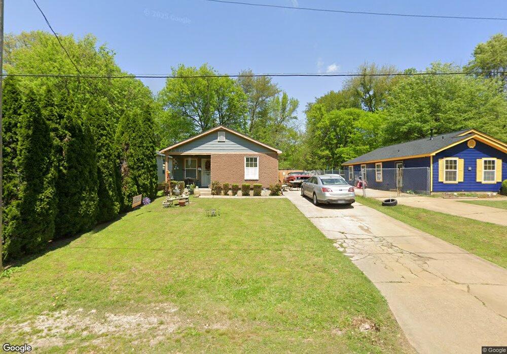
256 W Norwood Ave Memphis, TN 38109
South Memphis NeighborhoodEstimated Value: $86,000 - $133,000
4
Beds
2
Baths
1,034
Sq Ft
$95/Sq Ft
Est. Value
About This Home
This home is located at 256 W Norwood Ave, Memphis, TN 38109 and is currently estimated at $98,342, approximately $95 per square foot. 256 W Norwood Ave is a home located in Shelby County with nearby schools including Riverview Middle School, Hamilton High School, and Vision Preparatory Charter School.
Ownership History
Date
Name
Owned For
Owner Type
Purchase Details
Closed on
Feb 27, 2009
Sold by
Habitat For Humanity Of Greater Memphis
Bought by
Brantley Paula
Current Estimated Value
Home Financials for this Owner
Home Financials are based on the most recent Mortgage that was taken out on this home.
Original Mortgage
$64,000
Outstanding Balance
$40,631
Interest Rate
5.1%
Mortgage Type
Seller Take Back
Estimated Equity
$57,711
Purchase Details
Closed on
Sep 21, 2000
Sold by
Morton J Anthony and Morton Martha S
Bought by
Habitat For Humanity Of Greater Memphis
Create a Home Valuation Report for This Property
The Home Valuation Report is an in-depth analysis detailing your home's value as well as a comparison with similar homes in the area
Home Values in the Area
Average Home Value in this Area
Purchase History
| Date | Buyer | Sale Price | Title Company |
|---|---|---|---|
| Brantley Paula | $64,000 | None Available | |
| Habitat For Humanity Of Greater Memphis | $2,100 | Southern Escrow Title Compan |
Source: Public Records
Mortgage History
| Date | Status | Borrower | Loan Amount |
|---|---|---|---|
| Open | Brantley Paula | $64,000 |
Source: Public Records
Tax History Compared to Growth
Tax History
| Year | Tax Paid | Tax Assessment Tax Assessment Total Assessment is a certain percentage of the fair market value that is determined by local assessors to be the total taxable value of land and additions on the property. | Land | Improvement |
|---|---|---|---|---|
| 2025 | $474 | $22,075 | $1,250 | $20,825 |
| 2024 | $474 | $13,975 | $875 | $13,100 |
| 2023 | $851 | $13,975 | $875 | $13,100 |
| 2022 | $851 | $13,975 | $875 | $13,100 |
| 2021 | $861 | $13,975 | $875 | $13,100 |
| 2020 | $813 | $11,225 | $875 | $10,350 |
| 2019 | $813 | $11,225 | $875 | $10,350 |
| 2018 | $813 | $11,225 | $875 | $10,350 |
| 2017 | $461 | $11,225 | $875 | $10,350 |
| 2016 | $565 | $12,925 | $0 | $0 |
| 2014 | $565 | $12,925 | $0 | $0 |
Source: Public Records
Map
Nearby Homes
- 247 W Frank Ave
- 2084 Benford St
- 2076 Farrington St
- 324 Outer Pkwy
- 335 Outer Pkwy
- 380 Outer Pkwy
- 20 W Davant Ave
- 2105 Farrington St
- 2059 Rile St
- 2119 Farrington St
- 123 W Frank Ave
- 2095 Rile St
- 274 W Mckellar Ave
- 260 W Mckellar Ave
- 2100 Riverside Blvd
- 2099 Rile St
- 1852 Swift St
- 1872 Rile St
- 247 Modder Ave
- 177 Modder Ave
- 248 W Norwood Ave
- 258 W Norwood Ave
- 242 W Norwood Ave
- 262 W Norwood Ave
- 238 W Norwood Ave
- 253 Holland Ave
- 257 Holland Ave
- 241 Holland Ave
- 274 W Norwood Ave
- 253 W Norwood Ave
- 257 W Norwood Ave
- 263 Holland Ave
- 247 W Norwood Ave
- 263 W Norwood Ave
- 228 W Norwood Ave
- 237 Holland Ave
- 276 W Norwood Ave
- 269 W Norwood Ave
- 265 Holland Ave
- 280 W Norwood Ave