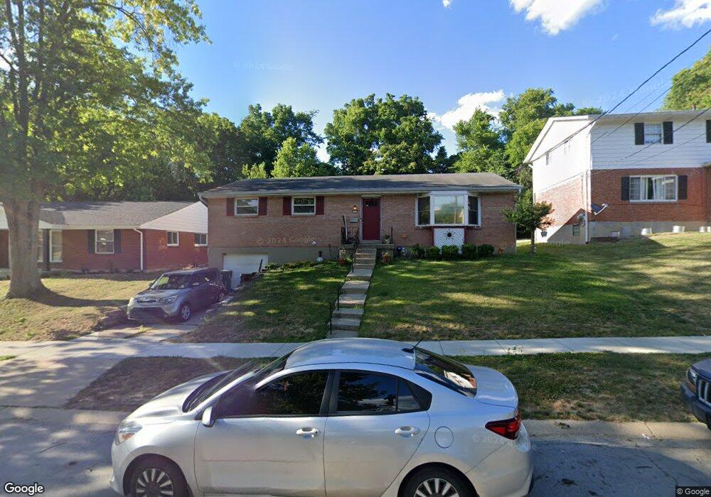
2560 Mustang Dr Cincinnati, OH 45211
Westwood NeighborhoodEstimated Value: $195,000 - $229,000
3
Beds
2
Baths
1,296
Sq Ft
$160/Sq Ft
Est. Value
About This Home
This home is located at 2560 Mustang Dr, Cincinnati, OH 45211 and is currently estimated at $206,945, approximately $159 per square foot. 2560 Mustang Dr is a home located in Hamilton County with nearby schools including Western Hills High School, Gilbert A. Dater High School, and Robert A. Taft Information Technology High School.
Ownership History
Date
Name
Owned For
Owner Type
Purchase Details
Closed on
Jul 15, 1999
Sold by
Nieman Paul C and Nieman Sandra S
Bought by
Antonelli Sangelo and Antonelli Michelle
Current Estimated Value
Home Financials for this Owner
Home Financials are based on the most recent Mortgage that was taken out on this home.
Original Mortgage
$80,100
Interest Rate
7.69%
Mortgage Type
Seller Take Back
Create a Home Valuation Report for This Property
The Home Valuation Report is an in-depth analysis detailing your home's value as well as a comparison with similar homes in the area
Home Values in the Area
Average Home Value in this Area
Purchase History
| Date | Buyer | Sale Price | Title Company |
|---|---|---|---|
| Antonelli Sangelo | $80,100 | -- |
Source: Public Records
Mortgage History
| Date | Status | Borrower | Loan Amount |
|---|---|---|---|
| Previous Owner | Antonelli Sangelo | $80,100 |
Source: Public Records
Tax History Compared to Growth
Tax History
| Year | Tax Paid | Tax Assessment Tax Assessment Total Assessment is a certain percentage of the fair market value that is determined by local assessors to be the total taxable value of land and additions on the property. | Land | Improvement |
|---|---|---|---|---|
| 2024 | $3,040 | $50,688 | $8,306 | $42,382 |
| 2023 | $3,108 | $50,688 | $8,306 | $42,382 |
| 2022 | $1,913 | $27,878 | $6,741 | $21,137 |
| 2021 | $1,837 | $27,878 | $6,741 | $21,137 |
| 2020 | $1,891 | $27,878 | $6,741 | $21,137 |
| 2019 | $1,879 | $25,344 | $6,129 | $19,215 |
| 2018 | $1,882 | $25,344 | $6,129 | $19,215 |
| 2017 | $1,788 | $25,344 | $6,129 | $19,215 |
| 2016 | $1,904 | $26,632 | $7,109 | $19,523 |
| 2015 | $1,717 | $26,632 | $7,109 | $19,523 |
| 2014 | $1,729 | $26,632 | $7,109 | $19,523 |
| 2013 | $1,832 | $27,741 | $7,406 | $20,335 |
Source: Public Records
Map
Nearby Homes
- 2508 Mustang Dr
- 2562 Montana Ave
- 2454 Mustang Dr
- 3427 Bighorn Ct
- 2469 Montana Ave
- 3418 Millrich Ave
- 3162 Sunshine Ave
- 2424 Westwood Northern Blvd
- 3116 Gobel Ave
- 3413 Fyffe Ave
- 2822 Montana Ave
- 3331 Felicity Dr
- 2099 W Fork Rd
- 3072 Worthington Ave
- 3353 Saffer St
- 3064 Mchenry Ave
- 3046 Bracken Woods Ln
- 3042 Percy Ave
- 3345 Meyer Place
- 3073 Bracken Woods Ln
- 2554 Mustang Dr
- 2566 Mustang Dr
- 2548 Mustang Dr
- 2572 Mustang Dr
- 2557 Mustang Dr
- 2563 Mustang Dr
- 2542 Mustang Dr
- 2551 Mustang Dr
- 2578 Mustang Dr
- 2569 Mustang Dr
- 2545 Mustang Dr
- 2577 Mustang Dr
- 2536 Mustang Dr
- 2584 Mustang Dr
- 2589 Mustang Dr
- 2539 Mustang Dr
- 2530 Mustang Dr
- 3662 Haus Ln
- 2614 Mustang Dr
- 2597 Mustang Dr