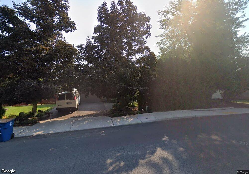
2560 NE Shepard Rd Bend, OR 97701
Orchard District NeighborhoodEstimated Value: $683,714 - $717,000
4
Beds
2
Baths
1,008
Sq Ft
$692/Sq Ft
Est. Value
About This Home
This home is located at 2560 NE Shepard Rd, Bend, OR 97701 and is currently estimated at $697,929, approximately $692 per square foot. 2560 NE Shepard Rd is a home located in Deschutes County with nearby schools including Juniper Elementary School, Pilot Butte Middle School, and Bend Senior High School.
Ownership History
Date
Name
Owned For
Owner Type
Purchase Details
Closed on
Apr 8, 2021
Sold by
Davis Richard Wayland and Cowan Kathleen
Bought by
Davis Richard W and Cowan Kathleen
Current Estimated Value
Home Financials for this Owner
Home Financials are based on the most recent Mortgage that was taken out on this home.
Original Mortgage
$103,000
Interest Rate
2.7%
Mortgage Type
New Conventional
Purchase Details
Closed on
Feb 19, 2021
Sold by
Davis Richard W
Bought by
Davis Richard Wayland and Cowan Kathleen
Home Financials for this Owner
Home Financials are based on the most recent Mortgage that was taken out on this home.
Original Mortgage
$103,000
Interest Rate
2.7%
Mortgage Type
New Conventional
Create a Home Valuation Report for This Property
The Home Valuation Report is an in-depth analysis detailing your home's value as well as a comparison with similar homes in the area
Home Values in the Area
Average Home Value in this Area
Purchase History
| Date | Buyer | Sale Price | Title Company |
|---|---|---|---|
| Davis Richard W | -- | None Available | |
| Davis Richard Wayland | -- | Ameritilte |
Source: Public Records
Mortgage History
| Date | Status | Borrower | Loan Amount |
|---|---|---|---|
| Closed | Davis Richard Wayland | $103,000 |
Source: Public Records
Tax History
| Year | Tax Paid | Tax Assessment Tax Assessment Total Assessment is a certain percentage of the fair market value that is determined by local assessors to be the total taxable value of land and additions on the property. | Land | Improvement |
|---|---|---|---|---|
| 2025 | $3,724 | $220,420 | -- | -- |
| 2024 | $3,583 | $214,000 | -- | -- |
| 2023 | $3,322 | $207,770 | $0 | $0 |
| 2022 | $3,099 | $195,850 | $0 | $0 |
| 2021 | $3,104 | $190,150 | $0 | $0 |
| 2020 | $2,945 | $190,150 | $0 | $0 |
| 2019 | $2,863 | $184,620 | $0 | $0 |
| 2018 | $2,782 | $179,250 | $0 | $0 |
| 2017 | $2,700 | $174,030 | $0 | $0 |
| 2016 | $2,575 | $168,970 | $0 | $0 |
| 2015 | $2,504 | $164,050 | $0 | $0 |
| 2014 | $2,430 | $159,280 | $0 | $0 |
Source: Public Records
Map
Nearby Homes
- 1407 NE Talon Ct
- 2667 NE Jones Rd
- 2640 NE 8th St
- 1050 NE Butler Market Rd Unit 36
- 2843 NE Waller Dr
- 1482 NE Rumgay Ln
- 1512 NE Quiet Ridge Ln
- 2109 NE 11th Place
- 2342 NE Shadow Brook Place
- 2101 NE Holliday Ave
- 530 NE Majesty Ln
- 563 NE Soaring Ct
- 2142 NE Monterey Ave
- 1916 NE Monroe Ave
- 2917 NE Purcell Blvd
- 832 NE Revere Ave
- 2028 NE Patterson Cir
- 1801 NE Purcell Blvd Unit 20
- 21620 NE Butler Market Rd
- 62906 Bilyeu Way
- 1398 NE Drost Dr
- 1655 NE Meerkat Ave
- 2534 NE Shepard Rd
- 1641 NE Meerkat Ave
- 1399 NE Drost Dr
- 1657 NE Meerkat Ave
- 2600 NE Shepard Place
- 2604 NE Shepard Place
- 1396 NE Drost Dr
- 1663 NE Meerkat Ave
- 1397 NE Drost Dr
- 1669 NE Meerkat Ave
- 2510 NE Shepard Rd
- 1382 NE Drost Dr
- 2603 NE Shepard Place
- 2509 NE Shepard Rd
- 2608 NE Shepard Place
- 1614 NE Thompson Dr
- 2643 NE Genet Ct
- 1383 NE Drost Dr
Your Personal Tour Guide
Ask me questions while you tour the home.