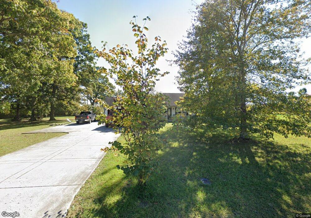
2560 Wildcat Rd Sparta, TN 38583
Estimated Value: $230,082 - $302,000
3
Beds
2
Baths
1,400
Sq Ft
$202/Sq Ft
Est. Value
About This Home
This home is located at 2560 Wildcat Rd, Sparta, TN 38583 and is currently estimated at $282,521, approximately $201 per square foot. 2560 Wildcat Rd is a home located in White County with nearby schools including Northfield Elementary School, White County Middle School, and White County High School.
Ownership History
Date
Name
Owned For
Owner Type
Purchase Details
Closed on
Aug 31, 2010
Sold by
Crosland William T
Bought by
Duggan Kevin P
Current Estimated Value
Home Financials for this Owner
Home Financials are based on the most recent Mortgage that was taken out on this home.
Original Mortgage
$111,963
Outstanding Balance
$76,962
Interest Rate
5.5%
Mortgage Type
FHA
Estimated Equity
$205,559
Purchase Details
Closed on
Jul 16, 2010
Sold by
Crosland William T
Bought by
Maxwell P G
Home Financials for this Owner
Home Financials are based on the most recent Mortgage that was taken out on this home.
Original Mortgage
$111,963
Outstanding Balance
$76,962
Interest Rate
5.5%
Mortgage Type
FHA
Estimated Equity
$205,559
Purchase Details
Closed on
Nov 15, 2002
Sold by
William Crosland and William Tracy
Bought by
Barbara Witzgiman
Purchase Details
Closed on
Jun 27, 2002
Bought by
Crosland William T and Crosland Tracy D
Create a Home Valuation Report for This Property
The Home Valuation Report is an in-depth analysis detailing your home's value as well as a comparison with similar homes in the area
Home Values in the Area
Average Home Value in this Area
Purchase History
| Date | Buyer | Sale Price | Title Company |
|---|---|---|---|
| Duggan Kevin P | $124,400 | -- | |
| Maxwell P G | $10,000 | -- | |
| Barbara Witzgiman | $18,596 | -- | |
| Crosland William T | $9,600 | -- |
Source: Public Records
Mortgage History
| Date | Status | Borrower | Loan Amount |
|---|---|---|---|
| Open | Crosland William T | $111,963 |
Source: Public Records
Tax History Compared to Growth
Tax History
| Year | Tax Paid | Tax Assessment Tax Assessment Total Assessment is a certain percentage of the fair market value that is determined by local assessors to be the total taxable value of land and additions on the property. | Land | Improvement |
|---|---|---|---|---|
| 2025 | $643 | $59,375 | $0 | $0 |
| 2024 | $643 | $31,350 | $2,550 | $28,800 |
| 2023 | $643 | $31,350 | $2,550 | $28,800 |
| 2022 | $643 | $31,350 | $2,550 | $28,800 |
| 2021 | $643 | $31,350 | $2,550 | $28,800 |
| 2020 | $643 | $31,350 | $2,550 | $28,800 |
| 2019 | $569 | $27,750 | $2,550 | $25,200 |
| 2018 | $569 | $27,750 | $2,550 | $25,200 |
| 2017 | $569 | $27,750 | $2,550 | $25,200 |
| 2016 | $569 | $27,750 | $2,550 | $25,200 |
| 2015 | $513 | $27,750 | $2,550 | $25,200 |
| 2014 | -- | $27,750 | $2,550 | $25,200 |
| 2013 | -- | $27,325 | $2,550 | $24,775 |
Source: Public Records
Map
Nearby Homes
- 19.267ac Wildcat Rd
- 377 Margot Dr
- 3524 Griffintown Rd
- 5860 Canoe Way
- 5881 Canoe Way
- 19 Caleb Way
- 43 Eli Ln
- 346 Sam Golden Rd
- 9510 Medlin Rd
- 9360 Medlin Rd
- 242 Grace Dr
- 0 Liberty Rd
- 1885 Griffintown Rd
- 445 Boyd Creek Rd
- 29AC Boyd Creek Rd
- 519 John McCoin Rd
- 14 Caleb Way
- 15 Caleb Way
- 18 Caleb Way
- 16 Caleb Way
- 2606 Wildcat Rd
- 2547 Wildcat Rd
- 2557 Wildcat Rd
- 2516 Wildcat Rd
- 2615 Wildcat Rd
- 2615 Wildcat Rd
- 2496 Wildcat Rd
- 2475 Wildcat Rd
- 2396 Wildcat Rd
- 2675 Wildcat Rd
- 1153 Browntown Rd
- 2368 Wildcat Rd
- 912 Browntown Rd
- 2713 Wildcat Rd
- 1138 Browntown Rd
- 1429 Browntown Rd
- 215 Eldridge Cemetery Rd
- 2324 Wildcat Rd
- 271 Eldridge Cemetery Rd
- 2295 Wildcat Rd