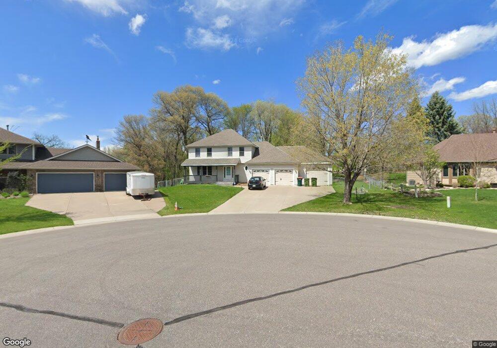
2561 132nd Ln NW Coon Rapids, MN 55448
Estimated Value: $472,723 - $555,000
4
Beds
4
Baths
2,864
Sq Ft
$175/Sq Ft
Est. Value
About This Home
This home is located at 2561 132nd Ln NW, Coon Rapids, MN 55448 and is currently estimated at $500,681, approximately $174 per square foot. 2561 132nd Ln NW is a home located in Anoka County with nearby schools including Lucile Bruner Elementary School, Morris Bye Elementary School, and Laughlin Junior/Senior High School.
Ownership History
Date
Name
Owned For
Owner Type
Purchase Details
Closed on
Jan 11, 2021
Sold by
Pederson Brennan and Pederson Elisabeth
Bought by
Moore Peter and Xiong Wendy
Current Estimated Value
Home Financials for this Owner
Home Financials are based on the most recent Mortgage that was taken out on this home.
Original Mortgage
$371,153
Outstanding Balance
$331,022
Interest Rate
2.67%
Mortgage Type
FHA
Estimated Equity
$169,659
Purchase Details
Closed on
May 24, 2019
Sold by
Kessler Richard W and Kessler Shawn M
Bought by
Pederson Breannan and Pederson Elisabeth
Home Financials for this Owner
Home Financials are based on the most recent Mortgage that was taken out on this home.
Original Mortgage
$321,596
Interest Rate
4.25%
Mortgage Type
FHA
Purchase Details
Closed on
Jun 29, 2001
Sold by
Roerig James and Roerig Deborah
Bought by
Kessler Richard W and Kessler Shawn M
Create a Home Valuation Report for This Property
The Home Valuation Report is an in-depth analysis detailing your home's value as well as a comparison with similar homes in the area
Home Values in the Area
Average Home Value in this Area
Purchase History
| Date | Buyer | Sale Price | Title Company |
|---|---|---|---|
| Moore Peter | $378,000 | First American Title Ins Co | |
| Pederson Breannan | $332,700 | Ancona Title & Escrow | |
| Kessler Richard W | $226,500 | -- | |
| Moore Peter Peter | $378,000 | -- |
Source: Public Records
Mortgage History
| Date | Status | Borrower | Loan Amount |
|---|---|---|---|
| Open | Moore Peter | $371,153 | |
| Previous Owner | Pederson Breannan | $321,596 | |
| Closed | Moore Peter Peter | $371,153 |
Source: Public Records
Tax History Compared to Growth
Tax History
| Year | Tax Paid | Tax Assessment Tax Assessment Total Assessment is a certain percentage of the fair market value that is determined by local assessors to be the total taxable value of land and additions on the property. | Land | Improvement |
|---|---|---|---|---|
| 2025 | $5,023 | $480,000 | $103,500 | $376,500 |
| 2024 | $5,023 | $467,000 | $100,100 | $366,900 |
| 2023 | $4,737 | $470,000 | $82,800 | $387,200 |
| 2022 | $4,057 | $477,800 | $82,800 | $395,000 |
| 2021 | $3,985 | $363,800 | $64,400 | $299,400 |
| 2020 | $4,046 | $349,500 | $64,400 | $285,100 |
| 2019 | $4,007 | $340,200 | $64,400 | $275,800 |
| 2018 | $3,841 | $327,400 | $0 | $0 |
| 2017 | $3,361 | $305,200 | $0 | $0 |
| 2016 | $3,409 | $263,000 | $0 | $0 |
| 2015 | $3,343 | $263,000 | $52,500 | $210,500 |
| 2014 | -- | $222,000 | $37,200 | $184,800 |
Source: Public Records
Map
Nearby Homes
- 13208 Zion St NW
- 13182 Zion St NW
- 2740 132nd Ln NW
- 13416 Swallow St NW
- 13624 Gladiola St NW
- 2270 137th Ln NW
- 13680 Gladiola St NW
- 13664 Gladiola St NW
- 13519 Partridge Cir NW
- 13414 Jonquil St NW
- 2675 128th Ave NW
- 12760 Raven St NW
- 13871 Eidelweiss St NW
- 2201 139th Ave NW
- 2538 140th Ln NW
- 1776 133rd Ave NW
- 3233 Northdale Ln NW
- 3227 Northdale Ln NW
- 13329 Poppy St NW
- 1930 127th Cir NW
- 2569 132nd Ln NW
- 2545 132nd Ln NW
- 2548 133rd Ln NW
- 2562 133rd Ln NW
- 2529 132nd Ln NW
- 2536 133rd Ln NW
- 2544 132nd Ln NW
- 2560 132nd Ln NW
- 2528 132nd Ln NW
- 2513 132nd Ln NW
- 13356 Hidden Creek Dr
- 2522 133rd Ln NW
- 2512 132nd Ln NW
- 2497 132nd Ln NW
- 2508 133rd Ln NW
- 2549 133rd Ln NW
- 13224 Zion St NW
- 13368 Hidden Creek Dr
- 13216 Zion St NW
- 2535 133rd Ln NW