2561 Circle Dr Newport Beach, CA 92663
Bayshores NeighborhoodEstimated Value: $4,488,197 - $5,841,000
3
Beds
4
Baths
2,266
Sq Ft
$2,286/Sq Ft
Est. Value
About This Home
This home is located at 2561 Circle Dr, Newport Beach, CA 92663 and is currently estimated at $5,180,299, approximately $2,286 per square foot. 2561 Circle Dr is a home located in Orange County with nearby schools including Newport Heights Elementary, Horace Ensign Intermediate School, and Newport Harbor High School.
Ownership History
Date
Name
Owned For
Owner Type
Purchase Details
Closed on
Mar 26, 2013
Sold by
Clark Marilyn and Clark Crayton Val
Bought by
Eberhardt Camdon Clark and The Clark Eberhardt 2012 Irrevocable Tru
Current Estimated Value
Purchase Details
Closed on
Jun 26, 2012
Sold by
Clark Marilyn and Clark Crayton Val
Bought by
Eberhardt Camdon Clark and The Camdon Clark Eberhardt 2012 Irrevoca
Purchase Details
Closed on
Mar 17, 2011
Sold by
Clark E Val
Bought by
Clark E Val and Clark Marilyn
Create a Home Valuation Report for This Property
The Home Valuation Report is an in-depth analysis detailing your home's value as well as a comparison with similar homes in the area
Home Values in the Area
Average Home Value in this Area
Purchase History
| Date | Buyer | Sale Price | Title Company |
|---|---|---|---|
| Eberhardt Camdon Clark | -- | None Available | |
| Eberhardt Camdon Clark | -- | None Available | |
| Clark Marilyn | -- | None Available | |
| Clark E Val | -- | None Available |
Source: Public Records
Tax History Compared to Growth
Tax History
| Year | Tax Paid | Tax Assessment Tax Assessment Total Assessment is a certain percentage of the fair market value that is determined by local assessors to be the total taxable value of land and additions on the property. | Land | Improvement |
|---|---|---|---|---|
| 2025 | $12,780 | $1,200,710 | $852,973 | $347,737 |
| 2024 | $12,780 | $1,177,167 | $836,248 | $340,919 |
| 2023 | $12,478 | $1,154,086 | $819,851 | $334,235 |
| 2022 | $12,269 | $1,131,457 | $803,775 | $327,682 |
| 2021 | $12,035 | $1,109,272 | $788,015 | $321,257 |
| 2020 | $11,919 | $1,097,898 | $779,935 | $317,963 |
| 2019 | $11,676 | $1,076,371 | $764,642 | $311,729 |
| 2018 | $11,445 | $1,055,266 | $749,649 | $305,617 |
| 2017 | $11,244 | $1,034,575 | $734,950 | $299,625 |
| 2016 | $10,993 | $1,014,290 | $720,540 | $293,750 |
| 2015 | $10,888 | $999,055 | $709,717 | $289,338 |
| 2014 | $10,632 | $979,485 | $695,814 | $283,671 |
Source: Public Records
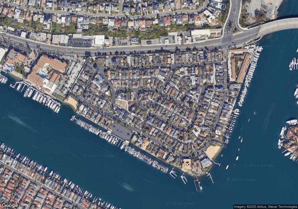
Map
Nearby Homes
- 2602 Circle Dr
- 2401 Bayshore Dr
- 530 Kings Rd
- 520 Kings Rd
- 511 Cliff Dr
- 105 Via Waziers
- 120 Via Trieste
- 125 Kings Place
- 809 Via Lido Soud
- 47 Linda Isle
- 600 Via Lido Nord
- 103 Via San Remo
- 212 Kings Place
- 29 Linda Isle
- 401 Snug Harbor Rd
- 411 Snug Harbor Rd
- 702 Saint James Place
- 20 Harbor Island
- 73 Linda Isle
- 3 Linda Isle