2561 Laurel Oak Dr Unit 151 Howell, MI 48855
Estimated Value: $351,121 - $385,000
3
Beds
2
Baths
1,563
Sq Ft
$234/Sq Ft
Est. Value
About This Home
This home is located at 2561 Laurel Oak Dr Unit 151, Howell, MI 48855 and is currently estimated at $365,780, approximately $234 per square foot. 2561 Laurel Oak Dr Unit 151 is a home located in Livingston County with nearby schools including Ruahmah J. Hutchings Elementary, Parker Middle School, and Howell High School.
Ownership History
Date
Name
Owned For
Owner Type
Purchase Details
Closed on
Jun 23, 2012
Sold by
Dewar Gregory S and Dewar Kimberly A
Bought by
Dewar Kimberly A
Current Estimated Value
Purchase Details
Closed on
Oct 23, 2001
Sold by
Welch Construction Company
Bought by
Dewar Gregory S and Dewar Kimberly A
Home Financials for this Owner
Home Financials are based on the most recent Mortgage that was taken out on this home.
Original Mortgage
$153,500
Interest Rate
6.8%
Create a Home Valuation Report for This Property
The Home Valuation Report is an in-depth analysis detailing your home's value as well as a comparison with similar homes in the area
Home Values in the Area
Average Home Value in this Area
Purchase History
| Date | Buyer | Sale Price | Title Company |
|---|---|---|---|
| Dewar Kimberly A | -- | -- | |
| Dewar Gregory S | $191,990 | American Title Co |
Source: Public Records
Mortgage History
| Date | Status | Borrower | Loan Amount |
|---|---|---|---|
| Previous Owner | Dewar Gregory S | $153,500 |
Source: Public Records
Tax History Compared to Growth
Tax History
| Year | Tax Paid | Tax Assessment Tax Assessment Total Assessment is a certain percentage of the fair market value that is determined by local assessors to be the total taxable value of land and additions on the property. | Land | Improvement |
|---|---|---|---|---|
| 2025 | $3,321 | $159,800 | $0 | $0 |
| 2024 | $1,489 | $155,700 | $0 | $0 |
| 2023 | $1,423 | $139,900 | $0 | $0 |
| 2022 | $654 | $116,100 | $0 | $0 |
| 2021 | $1,971 | $122,300 | $0 | $0 |
| 2020 | $1,993 | $116,100 | $0 | $0 |
| 2019 | $1,965 | $106,100 | $0 | $0 |
| 2018 | $1,941 | $102,000 | $0 | $0 |
| 2017 | $1,915 | $98,800 | $0 | $0 |
| 2016 | $1,905 | $94,900 | $0 | $0 |
| 2014 | $2,133 | $80,900 | $0 | $0 |
| 2012 | $2,133 | $74,700 | $0 | $0 |
Source: Public Records
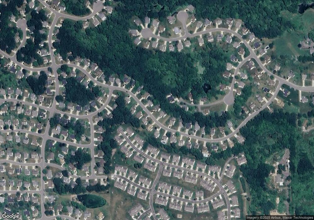
Map
Nearby Homes
- 2511 Kerria Dr Unit 42
- 1570 Princewood Blvd
- 2495 Moore Place
- 1633 Frech Ln
- 1400 Oakcrest Rd
- 475 Cannonade Loop
- 530 Cannonade Loop
- The Austin Plan at Broadmoor
- The Charlotte Plan at Broadmoor
- The Harrison Plan at Broadmoor
- The Bloomington Plan at Broadmoor
- The Columbia Plan at Broadmoor
- 458 Cannonade Loop
- 571 Cannonade Loop
- 523 Cannonade Loop
- 583 Cannonade Loop
- VACANT LOT Thompson Shore Dr
- 928 Westwind Shore Dr
- 840 Eager Rd
- 3224 Waverly Woods Ln
- 2573 Laurel Oak Dr
- 2549 Laurel Oak Dr
- 1771 Apple Valley Ct Unit 230
- 2537 Laurel Oak Dr Unit 149
- 2560 Laurel Oak Dr Unit 187
- 2619 Laurel Oak Dr
- 2550 Laurel Oak Dr Unit 188
- 2572 Laurel Oak Dr Unit 186
- 2525 Laurel Oak Dr Unit 148
- 2590 Laurel Oak Dr Unit 185
- 2538 Laurel Oak Dr Unit 189
- 1804 Apple Valley Ct Unit 231
- 2641 Laurel Oak Dr Unit 154
- 2608 Laurel Oak Dr Unit 184
- 2510 Laurel Oak Dr Unit 190
- 2513 Laurel Oak Dr
- 2626 Laurel Oak Dr
- 2499 Kerria Dr Unit 40
- 2495 Kerria Dr Unit 39
- 2659 Laurel Oak Dr Unit 155