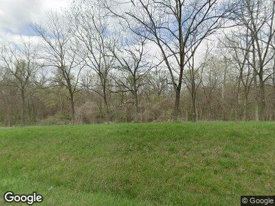
2563 State Route P New Franklin, MO 65274
Estimated Value: $276,000 - $682,768
--
Bed
--
Bath
3,777
Sq Ft
$127/Sq Ft
Est. Value
About This Home
This home is located at 2563 State Route P, New Franklin, MO 65274 and is currently estimated at $479,384, approximately $126 per square foot. 2563 State Route P is a home with nearby schools including New Franklin Elementary School, New Franklin Middle/High School, and Grace N Glory Christian Academy.
Ownership History
Date
Name
Owned For
Owner Type
Purchase Details
Closed on
Jan 16, 2014
Sold by
Richard Richard and Huffstutter Pamela
Bought by
Himmelberg Amanda D
Current Estimated Value
Purchase Details
Closed on
Nov 21, 2008
Sold by
Huffstutter Richard and Huffstutter Pamela
Bought by
Himmelberg Amanda Dawn
Create a Home Valuation Report for This Property
The Home Valuation Report is an in-depth analysis detailing your home's value as well as a comparison with similar homes in the area
Home Values in the Area
Average Home Value in this Area
Purchase History
| Date | Buyer | Sale Price | Title Company |
|---|---|---|---|
| Himmelberg Amanda D | -- | -- | |
| Himmelberg Amanda Dawn | -- | -- |
Source: Public Records
Mortgage History
| Date | Status | Borrower | Loan Amount |
|---|---|---|---|
| Previous Owner | Himmelberg Amanda D | $240,000 | |
| Previous Owner | Himmelberg Amanda Dawn | $184,000 |
Source: Public Records
Tax History Compared to Growth
Tax History
| Year | Tax Paid | Tax Assessment Tax Assessment Total Assessment is a certain percentage of the fair market value that is determined by local assessors to be the total taxable value of land and additions on the property. | Land | Improvement |
|---|---|---|---|---|
| 2024 | $4,803 | $66,640 | $0 | $0 |
| 2023 | $4,804 | $66,640 | $0 | $0 |
| 2022 | $4,804 | $66,640 | $0 | $0 |
| 2021 | $4,521 | $66,640 | $0 | $0 |
| 2020 | $4,537 | $66,640 | $0 | $0 |
| 2019 | $3,796 | $66,640 | $0 | $0 |
| 2018 | $3,773 | $66,640 | $0 | $0 |
| 2017 | $3,741 | $66,640 | $0 | $0 |
| 2016 | $3,737 | $66,640 | $0 | $0 |
| 2015 | -- | $66,640 | $0 | $0 |
| 2014 | -- | $66,580 | $0 | $0 |
| 2013 | -- | $69,110 | $0 | $0 |
| 2012 | -- | $69,110 | $0 | $0 |
Source: Public Records
Map
Nearby Homes
- 116 E Market St
- 111 N Missouri St
- Lot 2- 5 95ac Raybar Dr
- Lot 4- 6 44ac Raybar Dr
- Lot 1- 5 35ac Raybar Dr
- Lot #1 Rosewood Estates Cr 334b Unit Phase 3
- Lot #2 Rosewood Estates Cr 334b Unit Phase 3
- 0 Rural St
- TBD Rural St
- 112 Bell St
- 611 High St
- 7 Boller Dr
- 706 E Spring St
- 00000 Guyer's Ford Rd
- 525 6th St
- 627 Locust St
- 218 E Morgan St
- 6946 Missouri 87
- 0 Pendleton Ct
- 908 7th St
- 2563 State Route P
- 141 County Road 459
- 0 County Road 459
- 2557 State Dd Rd
- 2540 State Route P
- 221 County Road 459
- 240 County Road 459
- 220 Cr 459a
- 220 County Road 459a
- 2665 State Route P
- 151 County Road 459a
- 2722 State Route P
- 2762 State Route P
- 146 County Road 459b
- 2461 State Route P
- 2301 State Route P
- 380 County Road 459
- 2802 State Route P
- 180 County Road 448
- 114 County Road 455
