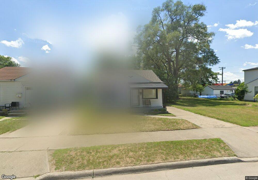
2565 Grace St Unit Bldg-Unit Melvindale, MI 48122
Estimated Value: $105,000 - $119,000
--
Bed
1
Bath
780
Sq Ft
$142/Sq Ft
Est. Value
About This Home
This home is located at 2565 Grace St Unit Bldg-Unit, Melvindale, MI 48122 and is currently estimated at $110,947, approximately $142 per square foot. 2565 Grace St Unit Bldg-Unit is a home located in Wayne County with nearby schools including Rogers Early Elementary School, Allendale Elementary School, and Julian O. Strong Middle School.
Ownership History
Date
Name
Owned For
Owner Type
Purchase Details
Closed on
Apr 23, 2018
Sold by
Alchaab Haider and Al Marsoumi Neima
Bought by
Munaser Omar Abdo Mohamad
Current Estimated Value
Purchase Details
Closed on
Jun 13, 2014
Sold by
The Carl & Betty Rice Living Trust
Bought by
Alchaib Haider
Purchase Details
Closed on
May 23, 2002
Sold by
Rice Betty R
Bought by
Carl And Betty Rice Living Trust
Create a Home Valuation Report for This Property
The Home Valuation Report is an in-depth analysis detailing your home's value as well as a comparison with similar homes in the area
Home Values in the Area
Average Home Value in this Area
Purchase History
| Date | Buyer | Sale Price | Title Company |
|---|---|---|---|
| Munaser Omar Abdo Mohamad | $35,000 | Venture Titlke Agency | |
| Alchaib Haider | $32,000 | Title One Inc | |
| The Carl & Betty Rice Living Trust | -- | Title One Inc | |
| Carl And Betty Rice Living Trust | -- | -- |
Source: Public Records
Tax History Compared to Growth
Tax History
| Year | Tax Paid | Tax Assessment Tax Assessment Total Assessment is a certain percentage of the fair market value that is determined by local assessors to be the total taxable value of land and additions on the property. | Land | Improvement |
|---|---|---|---|---|
| 2025 | $1,295 | $56,400 | $0 | $0 |
| 2024 | $1,295 | $48,300 | $0 | $0 |
| 2023 | $1,463 | $47,100 | $0 | $0 |
| 2022 | $2,010 | $43,500 | $0 | $0 |
| 2021 | $2,141 | $38,500 | $0 | $0 |
| 2020 | $1,907 | $31,100 | $0 | $0 |
| 2019 | $1,788 | $20,600 | $0 | $0 |
| 2018 | $875 | $21,400 | $0 | $0 |
| 2017 | $1,086 | $21,600 | $0 | $0 |
| 2016 | $1,388 | $20,200 | $0 | $0 |
| 2015 | $2,020 | $20,200 | $0 | $0 |
| 2013 | $1,611 | $20,200 | $0 | $0 |
| 2012 | $819 | $20,200 | $2,500 | $17,700 |
Source: Public Records
Map
Nearby Homes
- 2573 Grace St
- 2523 David St
- 19120 Dix Rd
- 2790 Blanche St
- 2800 David St
- 2527 Corbin St
- 819 Frank Ave
- 19211 Wall St
- 000 Harlow St
- 3603 Harlow Ave
- 2326 Fisher St
- 1862 Montie Rd
- 1840 Morris Ave
- 2064 Morris Ave
- 1826 Morris Ave
- 4020 Wall Ave
- 24558 Outer Dr
- 2190 Morris Ave
- 1807 Morris Ave
- 14545 College Ave