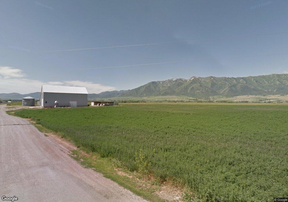
2565 S 3800 W Wellsville, UT 84339
Estimated Value: $537,000 - $1,132,150
--
Bed
--
Bath
2,641
Sq Ft
$302/Sq Ft
Est. Value
About This Home
This home is located at 2565 S 3800 W, Wellsville, UT 84339 and is currently estimated at $796,288, approximately $301 per square foot. 2565 S 3800 W is a home with nearby schools including Mountainside School, South Cache Middle School, and Mountain Crest High School.
Ownership History
Date
Name
Owned For
Owner Type
Purchase Details
Closed on
Sep 6, 2024
Sold by
Glenn Kevin Bradshaw and Glenn Loi Ann
Bought by
Kevin B Glenn And Loi Ann Glenn Revocable Tru and Glenn
Current Estimated Value
Purchase Details
Closed on
Jun 15, 2009
Sold by
Glenn Phillip H and Glenn Ella Jean
Bought by
Glenn Kevin Bradshaw and Glenn Loi Ann
Purchase Details
Closed on
Jul 20, 2007
Sold by
Otteson Thomas R and Otteson Norma G
Bought by
Glenn Kevin Bradshaw and Glenn Loi Ann
Create a Home Valuation Report for This Property
The Home Valuation Report is an in-depth analysis detailing your home's value as well as a comparison with similar homes in the area
Home Values in the Area
Average Home Value in this Area
Purchase History
| Date | Buyer | Sale Price | Title Company |
|---|---|---|---|
| Kevin B Glenn And Loi Ann Glenn Revocable Tru | -- | None Listed On Document | |
| Glenn Kevin Bradshaw | -- | Accommodation | |
| Glenn Kevin Bradshaw | -- | Accommodation |
Source: Public Records
Tax History Compared to Growth
Tax History
| Year | Tax Paid | Tax Assessment Tax Assessment Total Assessment is a certain percentage of the fair market value that is determined by local assessors to be the total taxable value of land and additions on the property. | Land | Improvement |
|---|---|---|---|---|
| 2024 | $3,304 | $492,375 | $0 | $0 |
| 2023 | $3,515 | $490,470 | $0 | $0 |
| 2022 | $3,676 | $490,495 | $0 | $0 |
| 2021 | $3,165 | $680,382 | $112,500 | $567,882 |
| 2020 | $2,967 | $607,759 | $112,500 | $495,259 |
| 2019 | $3,138 | $607,759 | $112,500 | $495,259 |
| 2018 | $2,939 | $555,885 | $112,500 | $443,385 |
| 2017 | $2,951 | $277,520 | $0 | $0 |
| 2016 | $2,994 | $262,725 | $0 | $0 |
| 2015 | $2,829 | $262,710 | $0 | $0 |
| 2014 | $2,098 | $200,905 | $0 | $0 |
| 2013 | -- | $12,625 | $0 | $0 |
Source: Public Records
Map
Nearby Homes
- 2306 S Pelican Pond Rd
- 3359 W 3500 S
- 1697 Young Ward Rd
- 4700 W 2900 S
- 2400 S 2800 W
- 10 S 3600 W
- 5800 W 1800 S
- 6044 W 1800 S
- 2301 S 1050 W Unit 99
- 2271 S 1050 W Unit 96
- 3703 W 600 S
- 5624 W 3400 S
- 1655 W 2200 S
- 2225 S 1600 W
- 4633 S Highway 89
- 170 W 500 N
- 3093 S 1600 W
- 1527 W 2200 S
- 1553 W 2100 S
- 1536 W 2100 S
- 2580 S 3800 W
- 2537 S 3800 W
- 2524 S 3800 W
- 2688 S 3800 W
- 2310 S 3800 W
- 2250 S Pelican Pond Rd
- 2225 S Pelican Pond Rd
- 2268 S Pelican Pond Rd
- 3616 W 2200 S
- 3574 W 2200 S
- 3351 S 3200 W
- 3707 W 2200 S
- 3807 W 2200 S
- 3572 W 2200 S
- 3595 W 2200 S
- 3847 W 2200 S
- 3567 W 2200 S
- 3410 W 2200 S
- 3489 W 2200 S
- 3509 W 2200 S