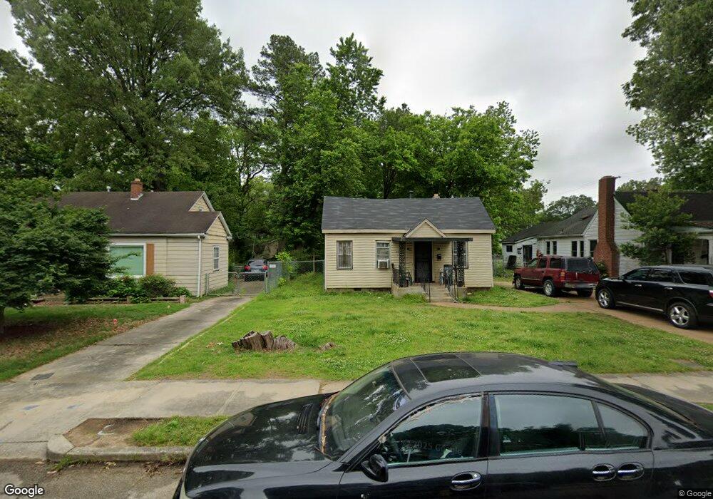
2567 Malone Ave Memphis, TN 38114
Southeast Memphis NeighborhoodEstimated Value: $70,442 - $91,000
4
Beds
1
Bath
1,652
Sq Ft
$49/Sq Ft
Est. Value
About This Home
This home is located at 2567 Malone Ave, Memphis, TN 38114 and is currently estimated at $81,111, approximately $49 per square foot. 2567 Malone Ave is a home located in Shelby County with nearby schools including Bethel Grove Elementary School, Sherwood Middle, and Melrose High School.
Ownership History
Date
Name
Owned For
Owner Type
Purchase Details
Closed on
Mar 16, 2001
Sold by
Totter Linda A
Bought by
Beard Dannette D
Current Estimated Value
Home Financials for this Owner
Home Financials are based on the most recent Mortgage that was taken out on this home.
Original Mortgage
$50,115
Outstanding Balance
$18,248
Interest Rate
7.02%
Mortgage Type
FHA
Estimated Equity
$62,863
Create a Home Valuation Report for This Property
The Home Valuation Report is an in-depth analysis detailing your home's value as well as a comparison with similar homes in the area
Home Values in the Area
Average Home Value in this Area
Purchase History
| Date | Buyer | Sale Price | Title Company |
|---|---|---|---|
| Beard Dannette D | $50,115 | -- |
Source: Public Records
Mortgage History
| Date | Status | Borrower | Loan Amount |
|---|---|---|---|
| Open | Beard Dannette D | $50,115 | |
| Closed | Beard Dannette D | $2,795 |
Source: Public Records
Tax History Compared to Growth
Tax History
| Year | Tax Paid | Tax Assessment Tax Assessment Total Assessment is a certain percentage of the fair market value that is determined by local assessors to be the total taxable value of land and additions on the property. | Land | Improvement |
|---|---|---|---|---|
| 2025 | $505 | $19,175 | $2,450 | $16,725 |
| 2024 | $505 | $14,900 | $1,125 | $13,775 |
| 2023 | $908 | $14,900 | $1,125 | $13,775 |
| 2022 | $908 | $14,900 | $1,125 | $13,775 |
| 2021 | $918 | $14,900 | $1,125 | $13,775 |
| 2020 | $752 | $10,375 | $1,125 | $9,250 |
| 2019 | $752 | $10,375 | $1,125 | $9,250 |
| 2018 | $752 | $10,375 | $1,125 | $9,250 |
| 2017 | $426 | $10,375 | $1,125 | $9,250 |
| 2016 | $458 | $10,475 | $0 | $0 |
| 2014 | $458 | $10,475 | $0 | $0 |
Source: Public Records
Map
Nearby Homes
- 2607 Barron Ave
- 2637 Arlington Ave
- 1609 Hugenot St
- 2421 Arlington Ave
- 2481 Kimball Ave
- 2383 Lowell Ave
- 2763 Fizer Rd
- 2481 Browning Ave
- 1499 Hamilton St
- 1495 Dallas St
- 2400 Kimball Ave
- 2589 Browning Ave
- 1580 Marianna St
- 2426 Lamar Cir
- 2646 Deadrick Ave
- 2764 Burns Ave
- 1059 S Willett St S
- 2768 Burns Ave
- 1270 Marechalneil St
- 1720 Airways Blvd
- 2573 Malone Ave
- 2561 Malone Ave
- 2568 Arlington Ave
- 2564 Arlington Ave
- 2574 Arlington Ave
- 2551 Malone Ave
- 2580 Arlington Ave
- 2566 Malone Ave
- 2562 Malone Ave
- 2570 Malone Ave
- 2587 Malone Ave
- 2552 Arlington Ave
- 2574 Malone Ave
- 2584 Arlington Ave
- 2584 Malone Ave
- 2547 Malone Ave
- 2546 Arlington Ave
- 2593 Malone Ave
- 2588 Arlington Ave
- 2540 Arlington Ave