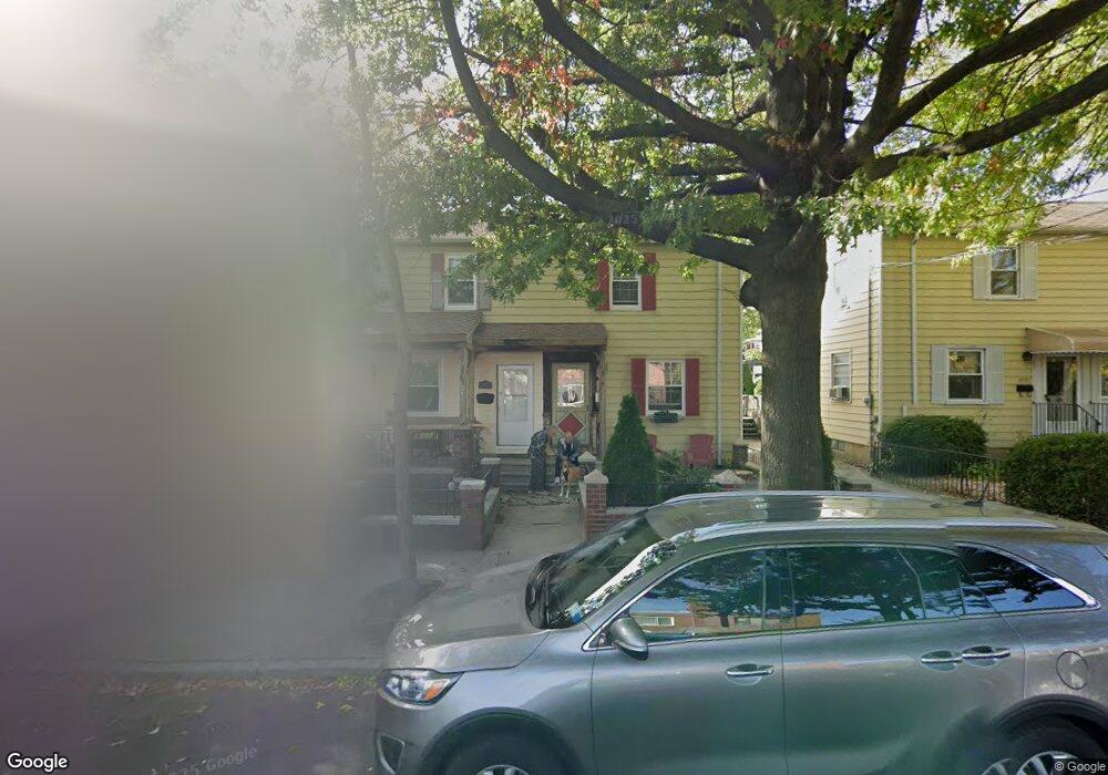
2567 Westervelt Ave Bronx, NY 10469
Pelham Gardens NeighborhoodEstimated Value: $495,968 - $633,000
--
Bed
--
Bath
768
Sq Ft
$744/Sq Ft
Est. Value
About This Home
This home is located at 2567 Westervelt Ave, Bronx, NY 10469 and is currently estimated at $571,492, approximately $744 per square foot. 2567 Westervelt Ave is a home located in Bronx County with nearby schools including P.S. 097 Bronx, J.H.S. 144 Michelangelo, and Harry S. Truman High School.
Ownership History
Date
Name
Owned For
Owner Type
Purchase Details
Closed on
Nov 29, 1999
Sold by
Kissel Maria L and Caponigro Claudio
Bought by
Hernandez Jose and Hernandez Kimberly
Current Estimated Value
Home Financials for this Owner
Home Financials are based on the most recent Mortgage that was taken out on this home.
Original Mortgage
$139,500
Interest Rate
8.31%
Create a Home Valuation Report for This Property
The Home Valuation Report is an in-depth analysis detailing your home's value as well as a comparison with similar homes in the area
Home Values in the Area
Average Home Value in this Area
Purchase History
| Date | Buyer | Sale Price | Title Company |
|---|---|---|---|
| Hernandez Jose | $155,000 | First American Title Ins Co |
Source: Public Records
Mortgage History
| Date | Status | Borrower | Loan Amount |
|---|---|---|---|
| Previous Owner | Hernandez Jose | $139,500 |
Source: Public Records
Tax History Compared to Growth
Tax History
| Year | Tax Paid | Tax Assessment Tax Assessment Total Assessment is a certain percentage of the fair market value that is determined by local assessors to be the total taxable value of land and additions on the property. | Land | Improvement |
|---|---|---|---|---|
| 2025 | $3,884 | $21,980 | $4,662 | $17,318 |
| 2024 | $3,884 | $20,736 | $4,528 | $16,208 |
| 2023 | $3,927 | $20,736 | $4,709 | $16,027 |
| 2022 | $3,821 | $28,320 | $7,140 | $21,180 |
| 2021 | $3,783 | $29,760 | $7,140 | $22,620 |
| 2020 | $3,581 | $30,000 | $7,140 | $22,860 |
| 2019 | $3,322 | $30,960 | $7,140 | $23,820 |
| 2018 | $3,225 | $17,280 | $5,426 | $11,854 |
| 2017 | $3,196 | $17,149 | $5,442 | $11,707 |
| 2016 | $2,924 | $16,179 | $5,175 | $11,004 |
| 2015 | $2,041 | $15,264 | $7,196 | $8,068 |
| 2014 | $2,041 | $14,400 | $7,920 | $6,480 |
Source: Public Records
Map
Nearby Homes
- 1562 Allerton Ave
- 2543 Mickle Ave
- 2703 Woodhull Ave
- 2563 Woodhull Ave
- 2809 Tiemann Ave
- 2524 Mickle Ave
- 1663 Allerton Ave
- 2801 Gunther Ave
- 2716 Gunther Ave
- 2713 Eastchester Rd
- - Eastchester Rd
- 1609 Arnow Ave
- 1762 Bartow Ave
- 1764 Bartow Ave
- 1476 Arnow Ave
- 52 Bruner Ave Unit 4795/52
- 2929 Fenton Ave
- 1517 Adee Ave
- 2456 Morgan Ave
- 2925 Morgan Ave
- 2571 Westervelt Ave
- 2565 Westervelt Ave
- 2573 Westervelt Ave
- 2559 Westervelt Ave
- 2557 Westervelt Ave
- 1582 Allerton Ave
- 1592 Allerton Ave
- 1588 Allerton Ave
- 2562 Mickle Ave
- 1594 Allerton Ave
- 1586 Allerton Ave
- 2564 Mickle Ave
- 2560 Mickle Ave
- 2555 Westervelt Ave
- 1580 Allerton Ave
- 2558 Mickle Ave
- 2553 Westervelt Ave
- 1576 Allerton Ave
- 2556 Mickle Ave
- 2554 Mickle Ave