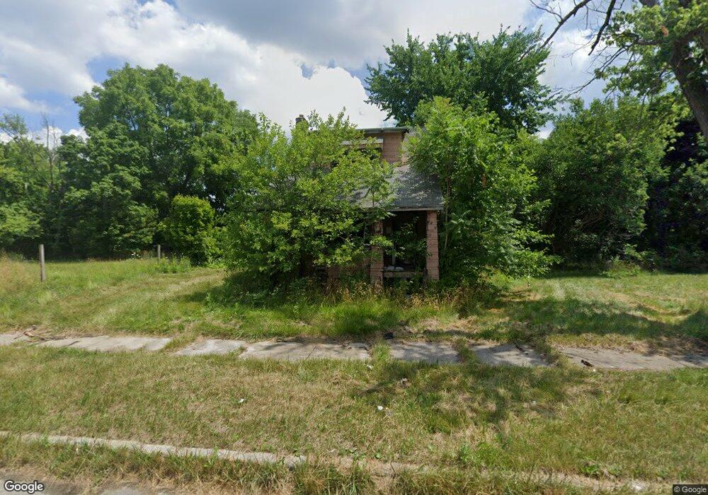
2568 Newport St Detroit, MI 48215
Riverbend NeighborhoodEstimated Value: $38,000 - $170,000
2
Beds
1
Bath
850
Sq Ft
$122/Sq Ft
Est. Value
About This Home
This home is located at 2568 Newport St, Detroit, MI 48215 and is currently estimated at $104,000, approximately $122 per square foot. 2568 Newport St is a home located in Wayne County with nearby schools including Carstens Academy of Aquatic Science, Edward 'Duke' Ellington Conservatory of Music and Art, and Charles L. Spain Elementary-Middle School.
Ownership History
Date
Name
Owned For
Owner Type
Purchase Details
Closed on
Jan 13, 2016
Sold by
Wayne County Treasurer
Bought by
Detroit Land Bank Authority
Current Estimated Value
Purchase Details
Closed on
Jul 28, 2010
Sold by
Winfrey Andrew
Bought by
Owen Tonya
Purchase Details
Closed on
Jun 19, 2009
Sold by
Onewest Bank Fsb
Bought by
Federal National Mortgage Association
Purchase Details
Closed on
Jun 3, 2009
Sold by
Woods Jesse
Bought by
Onewest Bank Fsb
Purchase Details
Closed on
Feb 26, 2004
Sold by
Miller Michael and Miller Jacqueline
Bought by
Woods Jesse
Create a Home Valuation Report for This Property
The Home Valuation Report is an in-depth analysis detailing your home's value as well as a comparison with similar homes in the area
Home Values in the Area
Average Home Value in this Area
Purchase History
| Date | Buyer | Sale Price | Title Company |
|---|---|---|---|
| Detroit Land Bank Authority | -- | None Available | |
| Owen Tonya | $200 | None Available | |
| Federal National Mortgage Association | -- | None Available | |
| Onewest Bank Fsb | $36,409 | None Available | |
| Woods Jesse | $10,000 | Exact Title |
Source: Public Records
Tax History Compared to Growth
Tax History
| Year | Tax Paid | Tax Assessment Tax Assessment Total Assessment is a certain percentage of the fair market value that is determined by local assessors to be the total taxable value of land and additions on the property. | Land | Improvement |
|---|---|---|---|---|
| 2025 | -- | $0 | $0 | $0 |
| 2024 | -- | $0 | $0 | $0 |
| 2023 | $0 | $0 | $0 | $0 |
| 2022 | -- | $0 | $0 | $0 |
| 2021 | $0 | $0 | $0 | $0 |
| 2020 | $0 | $0 | $0 | $0 |
| 2019 | $482 | $0 | $0 | $0 |
| 2018 | $0 | $0 | $0 | $0 |
| 2017 | $220 | $0 | $0 | $0 |
| 2016 | $240 | $2,200 | $0 | $0 |
| 2015 | $220 | $2,200 | $0 | $0 |
| 2013 | $247 | $2,474 | $0 | $0 |
| 2010 | -- | $3,628 | $387 | $3,241 |
Source: Public Records
Map
Nearby Homes
- 2651 Lakewood St
- 2950 Lakewood St
- 14345 Kercheval St
- 395 Chalmers St
- 3073 Lakewood St
- 1373 Lakewood St
- 2599 Lenox St
- 3064 Marlborough St
- 3080 Marlborough St
- 2503 Dickerson St
- 2966 Ashland St
- 14301 Mack Ave
- 2140 Alter Rd
- 2568 Alter Rd
- 1324 Wayburn St
- 2223 Gray St
- 3034 Gray St
- 1447 Wayburn St
- 1449 Wayburn St
- 2174 Springle St
- 2576 Newport St
- 2582 Newport St
- 2588 Newport St
- 2552 Newport St
- 2546 Newport St
- 2600 Newport St
- 2571 Lakewood St
- 2579 Lakewood St
- 2571 Newport St
- 2555 Lakewood St
- 2587 Lakewood St
- 2565 Newport St
- 2563 Lakewood St
- 2561 Newport St
- 2532 Newport St
- 2606 Newport St
- 2543 Lakewood St
- 2595 Lakewood St
- 2547 Newport St
- 2526 Newport St