25689 Rowland Rd Locust, NC 28097
Estimated Value: $271,000 - $306,204
3
Beds
2
Baths
1,351
Sq Ft
$217/Sq Ft
Est. Value
About This Home
This home is located at 25689 Rowland Rd, Locust, NC 28097 and is currently estimated at $292,735, approximately $216 per square foot. 25689 Rowland Rd is a home located in Stanly County with nearby schools including Locust Elementary School, West Stanly Middle School, and West Stanly High School.
Ownership History
Date
Name
Owned For
Owner Type
Purchase Details
Closed on
Jan 24, 2012
Sold by
Brown Brian Walter
Bought by
Brown Brian Walter and Brown Ashley H
Current Estimated Value
Purchase Details
Closed on
Aug 31, 2006
Sold by
Gee Virginia Odell and Gee Vivian L
Bought by
Brown Brian Walter
Home Financials for this Owner
Home Financials are based on the most recent Mortgage that was taken out on this home.
Original Mortgage
$110,000
Interest Rate
6.73%
Mortgage Type
Future Advance Clause Open End Mortgage
Create a Home Valuation Report for This Property
The Home Valuation Report is an in-depth analysis detailing your home's value as well as a comparison with similar homes in the area
Home Values in the Area
Average Home Value in this Area
Purchase History
| Date | Buyer | Sale Price | Title Company |
|---|---|---|---|
| Brown Brian Walter | -- | None Available | |
| Brown Brian Walter | $110,000 | None Available |
Source: Public Records
Mortgage History
| Date | Status | Borrower | Loan Amount |
|---|---|---|---|
| Closed | Brown Brian Walter | $110,000 |
Source: Public Records
Tax History
| Year | Tax Paid | Tax Assessment Tax Assessment Total Assessment is a certain percentage of the fair market value that is determined by local assessors to be the total taxable value of land and additions on the property. | Land | Improvement |
|---|---|---|---|---|
| 2025 | $1,385 | $209,806 | $49,410 | $160,396 |
| 2024 | $1,005 | $139,625 | $31,670 | $107,955 |
| 2023 | $1,102 | $139,625 | $31,670 | $107,955 |
| 2022 | $1,102 | $139,625 | $31,670 | $107,955 |
| 2021 | $1,100 | $139,625 | $31,670 | $107,955 |
| 2020 | $990 | $116,632 | $28,187 | $88,445 |
| 2019 | $995 | $116,632 | $28,187 | $88,445 |
| 2018 | $910 | $116,632 | $28,187 | $88,445 |
| 2017 | $910 | $116,632 | $28,187 | $88,445 |
| 2016 | $855 | $112,461 | $25,532 | $86,929 |
| 2015 | $934 | $112,461 | $25,532 | $86,929 |
| 2014 | $929 | $112,461 | $25,532 | $86,929 |
Source: Public Records
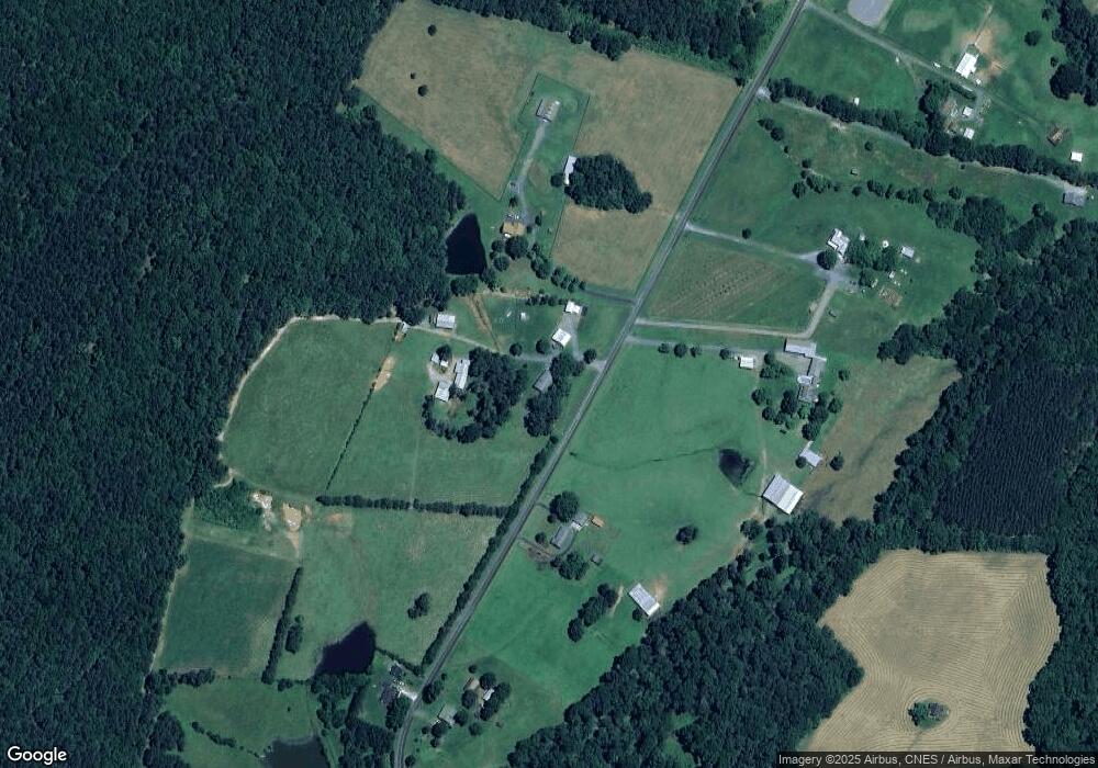
Map
Nearby Homes
- 24910 Birdhouse Ln Unit 1
- Parcel 2 Birdhouse Ln
- Parcel 1 Birdhouse Ln
- 17427 Purser Dr
- 16659 Five Point Rd
- Lot 1B Mallory Ln Unit 1B
- 27040 Crepts Branch Rd
- 00 Millingport Rd Unit 1
- 155 Soft Breeze Bend Unit 286b
- 137 Soft Breeze Bend Unit 283b
- 21080 Running Creek Dr
- 20313 Running Creek Church Rd
- 21072 Running Creek Dr
- 00 Sugar Hill Rd
- -- Sugar Hill Rd
- 21064 Running Creek Dr
- 21056 Running Creek Dr
- 20289 Running Creek Church Rd
- 21048 Running Creek Dr
- 21040 Running Creek Dr
- 25717 Rowland Rd
- 25660 Rowland Rd
- 25708 Rowland Rd
- 25738 Rowland Rd
- 25610 Rowland Rd
- 25607 Rowland Rd
- Vac Rowland Rd
- 25798 Rowland Rd
- 25774 Rowland Rd
- 25833 Rowland Rd
- 28031 Rowland Rd
- 15623 Bee Tree Rd
- 13748 Five Point Rd
- 25488 Rowland Rd
- 26570 Red Barn Trail
- 13710 Five Point Rd
- 13694 Five Point Rd
- 26556 Red Barn Trail
- 26548 Red Barn Trail
- 15651 Bee Tree Rd