2569 135th Ave Carlisle, IA 50047
Avon Lake NeighborhoodEstimated Value: $340,000 - $508,000
4
Beds
3
Baths
1,456
Sq Ft
$302/Sq Ft
Est. Value
About This Home
This home is located at 2569 135th Ave, Carlisle, IA 50047 and is currently estimated at $439,176, approximately $301 per square foot. 2569 135th Ave is a home located in Warren County with nearby schools including Carlisle Elementary School, Hartford Upper Elementary School, and Carlisle Middle School.
Ownership History
Date
Name
Owned For
Owner Type
Purchase Details
Closed on
Nov 19, 2021
Sold by
Anderson James W and Anderson Sherry L
Bought by
Anderson Sherry L and Anderson James W
Current Estimated Value
Home Financials for this Owner
Home Financials are based on the most recent Mortgage that was taken out on this home.
Original Mortgage
$182,892
Interest Rate
3.09%
Mortgage Type
New Conventional
Create a Home Valuation Report for This Property
The Home Valuation Report is an in-depth analysis detailing your home's value as well as a comparison with similar homes in the area
Home Values in the Area
Average Home Value in this Area
Purchase History
| Date | Buyer | Sale Price | Title Company |
|---|---|---|---|
| Anderson Sherry L | -- | None Available |
Source: Public Records
Mortgage History
| Date | Status | Borrower | Loan Amount |
|---|---|---|---|
| Closed | Anderson Sherry L | $182,892 |
Source: Public Records
Tax History Compared to Growth
Tax History
| Year | Tax Paid | Tax Assessment Tax Assessment Total Assessment is a certain percentage of the fair market value that is determined by local assessors to be the total taxable value of land and additions on the property. | Land | Improvement |
|---|---|---|---|---|
| 2024 | $4,112 | $330,100 | $72,600 | $257,500 |
| 2023 | $4,088 | $323,900 | $72,600 | $251,300 |
| 2022 | $4,054 | $273,200 | $71,300 | $201,900 |
| 2021 | $4,102 | $273,200 | $71,300 | $201,900 |
| 2020 | $4,102 | $258,000 | $71,300 | $186,700 |
| 2019 | $3,724 | $258,000 | $71,300 | $186,700 |
| 2018 | $3,758 | $234,100 | $0 | $0 |
| 2017 | $3,552 | $234,100 | $0 | $0 |
| 2016 | $3,480 | $219,500 | $0 | $0 |
| 2015 | $3,480 | $219,500 | $0 | $0 |
| 2014 | $3,636 | $229,300 | $0 | $0 |
Source: Public Records
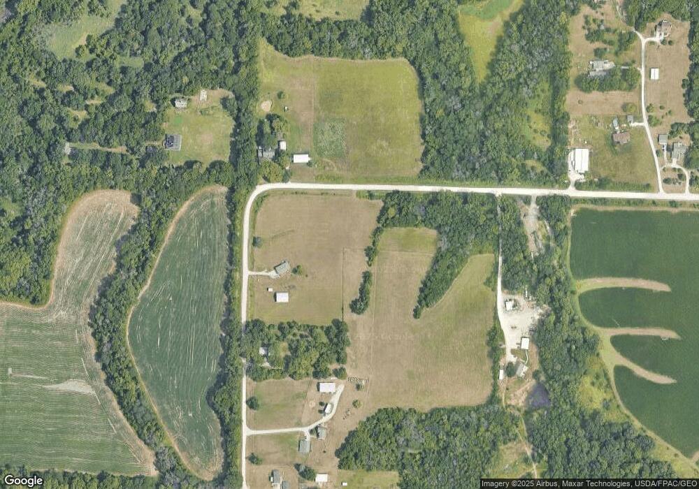
Map
Nearby Homes
- 02 Hwy 65 69 Hwy
- 01 Highway 65 69 Hwy
- 2375 149th Ln
- 12246 Clarke Trail
- Lot 13 152nd Ln
- Lot 2 152nd Ln
- Lot 17 152nd Ln
- Lot 16 152nd Ln
- Lot 10 152nd Ln
- Lot 9 152nd Ln
- Lot 6 152nd Ln
- Lot 3 152nd Ln
- 15018 Scotch Ridge Rd
- 2820 Gateway Dr
- 7036 Lake Ridge Ave
- 7040 Lake Ridge Ave
- 7000 Lake Ridge Ave Unit 2
- 7000 Lake Ridge Ave Unit 5
- 7000 Lake Ridge Ave Unit 4
- 7000 Lake Ridge Ave Unit 69
- 2641 135th Ave
- 10700 SE 34th St
- 2697 135th Ave
- 13523 Briggs St
- 13491 Briggs St
- 2745 135th Ave
- 13461 Briggs St
- 13730 Briggs St
- 13457 Briggs St
- 2396 138th Ln
- 2434 138th Ln
- 13857 Briggs St
- 2370 138th Ln
- 2371 138th Ln
- 2842 140th Ave
- 13973 Briggs St
- 00 Hwy 65 69 Ave
- 2456 140th Ave
- 2328 140th Ave
- 2463 140th Ave