2569 Springside Dr Unit 18 Lowell, MI 49331
Estimated Value: $492,492 - $637,000
5
Beds
3
Baths
2,780
Sq Ft
$204/Sq Ft
Est. Value
About This Home
This home is located at 2569 Springside Dr Unit 18, Lowell, MI 49331 and is currently estimated at $565,873, approximately $203 per square foot. 2569 Springside Dr Unit 18 is a home located in Kent County with nearby schools including Alto Elementary School, Lowell Middle School, and Lowell Senior High School.
Ownership History
Date
Name
Owned For
Owner Type
Purchase Details
Closed on
Nov 2, 2005
Sold by
Corson Angela and Luyk Angela Marie
Bought by
Smith Troy A and Smith Michelle L
Current Estimated Value
Home Financials for this Owner
Home Financials are based on the most recent Mortgage that was taken out on this home.
Original Mortgage
$323,000
Interest Rate
6.04%
Mortgage Type
Fannie Mae Freddie Mac
Purchase Details
Closed on
Sep 28, 2005
Sold by
Corson Angela and Luyk William
Bought by
Mortgage Electronic Registration Systems
Home Financials for this Owner
Home Financials are based on the most recent Mortgage that was taken out on this home.
Original Mortgage
$323,000
Interest Rate
6.04%
Mortgage Type
Fannie Mae Freddie Mac
Create a Home Valuation Report for This Property
The Home Valuation Report is an in-depth analysis detailing your home's value as well as a comparison with similar homes in the area
Home Values in the Area
Average Home Value in this Area
Purchase History
| Date | Buyer | Sale Price | Title Company |
|---|---|---|---|
| Smith Troy A | $240,000 | Independent Title Svcs Inc | |
| Mortgage Electronic Registration Systems | $164,915 | -- |
Source: Public Records
Mortgage History
| Date | Status | Borrower | Loan Amount |
|---|---|---|---|
| Closed | Smith Troy A | $323,000 |
Source: Public Records
Tax History Compared to Growth
Tax History
| Year | Tax Paid | Tax Assessment Tax Assessment Total Assessment is a certain percentage of the fair market value that is determined by local assessors to be the total taxable value of land and additions on the property. | Land | Improvement |
|---|---|---|---|---|
| 2025 | $2,601 | $194,000 | $0 | $0 |
| 2024 | $2,601 | $165,900 | $0 | $0 |
| 2023 | $2,488 | $155,500 | $0 | $0 |
| 2022 | $3,363 | $128,900 | $0 | $0 |
| 2021 | $3,168 | $122,200 | $0 | $0 |
| 2020 | $2,288 | $115,800 | $0 | $0 |
| 2019 | $85,917 | $123,600 | $0 | $0 |
| 2018 | $3,030 | $119,600 | $0 | $0 |
| 2017 | $2,949 | $105,300 | $0 | $0 |
| 2016 | $2,839 | $102,700 | $0 | $0 |
| 2015 | -- | $102,700 | $0 | $0 |
| 2013 | -- | $100,000 | $0 | $0 |
Source: Public Records
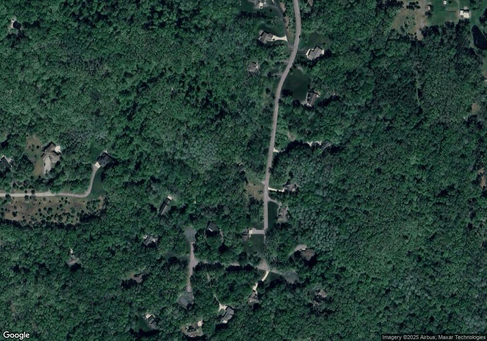
Map
Nearby Homes
- 2550 Bewell Ave SE
- 2991 Court Dr SE
- 1808 Birmingham SE
- 2072 Eleanor St SE
- 1824 Rhoda St SE
- 1656 Barnsley Ct SE
- 1765 Rhoda St SE
- 168 Valley Vista Dr SE
- 314 Elizabeth Dean Dr
- 1234 Laurie Gail Dr
- 1470 Carol Lynne Dr
- Wilshire Plan at Stony Bluff
- Remington Plan at Stony Bluff
- Linden Plan at Stony Bluff
- Enclave Plan at Stony Bluff
- Croswell Plan at Stony Bluff
- Cascade Plan at Stony Bluff
- Carson Plan at Stony Bluff
- Avery Plan at Stony Bluff
- Ashton Plan at Stony Bluff
- 2590 Springside Dr
- 2590 Springside Dr
- 11891 Brownberry Dr Unit 16
- 2626 Springside Dr
- 2631 Springside Dr Unit 17
- 2550 Springside Dr Unit 3
- 2703 Wildberry Dr Unit 15
- 2505 Springside Dr
- 2500 Springside Dr
- 2660 Springside Dr Unit 6
- 2721 Wildberry Dr
- 11910 Brownberry Dr Unit 9
- 2483 Springside Dr
- 2480 Springside Dr
- 11751 Firefly Woods Dr SE
- 11900 Brownberry Dr
- 11950 Brownberry Dr
- 2770 Wildberry Dr Unit 11
- 2455 Springside Dr Unit 21
- 2761 Wildberry Dr Unit 12