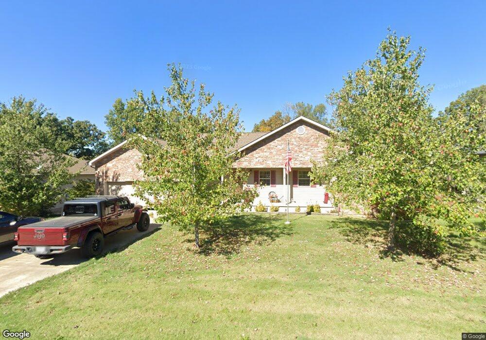
257 Boulder Trail Dr Poplar Bluff, MO 63901
Estimated Value: $321,000 - $536,000
Studio
--
Bath
3,381
Sq Ft
$113/Sq Ft
Est. Value
About This Home
This home is located at 257 Boulder Trail Dr, Poplar Bluff, MO 63901 and is currently estimated at $382,943, approximately $113 per square foot. 257 Boulder Trail Dr is a home with nearby schools including Oak Grove Elementary School, Poplar Bluff Fifth & Sixth Grade Center, and Poplar Bluff Junior High School.
Ownership History
Date
Name
Owned For
Owner Type
Purchase Details
Closed on
Jun 27, 2025
Sold by
Causbie John D and Causbie Karena J
Bought by
Farley Dustin and Farley Ceann
Current Estimated Value
Home Financials for this Owner
Home Financials are based on the most recent Mortgage that was taken out on this home.
Original Mortgage
$235,000
Outstanding Balance
$234,599
Interest Rate
6.81%
Mortgage Type
New Conventional
Estimated Equity
$148,344
Purchase Details
Closed on
Sep 6, 2011
Sold by
Pbrb Properties Llc
Bought by
Causbie John D and Causbie Karena J
Create a Home Valuation Report for This Property
The Home Valuation Report is an in-depth analysis detailing your home's value as well as a comparison with similar homes in the area
Home Values in the Area
Average Home Value in this Area
Purchase History
| Date | Buyer | Sale Price | Title Company |
|---|---|---|---|
| Farley Dustin | -- | None Listed On Document | |
| Causbie John D | -- | None Available |
Source: Public Records
Mortgage History
| Date | Status | Borrower | Loan Amount |
|---|---|---|---|
| Open | Farley Dustin | $235,000 |
Source: Public Records
Tax History
| Year | Tax Paid | Tax Assessment Tax Assessment Total Assessment is a certain percentage of the fair market value that is determined by local assessors to be the total taxable value of land and additions on the property. | Land | Improvement |
|---|---|---|---|---|
| 2025 | $2,137 | $49,150 | $0 | $0 |
| 2024 | $20 | $45,550 | $0 | $0 |
| 2023 | $2,029 | $45,550 | $0 | $0 |
| 2022 | $1,961 | $44,120 | $0 | $0 |
| 2021 | $1,962 | $44,120 | $0 | $0 |
| 2020 | $1,956 | $43,310 | $0 | $0 |
| 2019 | $1,954 | $43,310 | $0 | $0 |
| 2018 | $1,954 | $43,310 | $0 | $0 |
| 2017 | -- | $43,310 | $0 | $0 |
| 2016 | -- | $43,310 | $0 | $0 |
| 2015 | -- | $43,310 | $0 | $0 |
| 2014 | -- | $41,620 | $0 | $0 |
| 2012 | -- | $29,400 | $0 | $0 |
Source: Public Records
Map
Nearby Homes
- 16 Boulder Trail
- 0 Boulder Trail
- 319 Pintail Ln
- 6708 Brown Ln
- 8102 Woodland Meadow Dr
- 2184 J Bird Dr
- 205 Batson Lake Ln
- 3841 County Road 441
- 192 Bruce
- 306 Timberwolf Dr
- 0 W Hwy Unit MIS25082730
- 5502 Misty Meadow Rd Unit A-D
- 3401 Normandy Rd
- 353 Meadow View Dr
- 2911 Oak Grove Rd
- 66 County Road 445
- 3603 Mclane Dr
- Lot 11 Timber Way Dr
- 2700 Holly Trail
- 685 Radcliff Ln
- 267 Boulder Trail Dr
- 247 Boulder Trail Dr
- 222 Boulder Trail Dr
- 297 Boulder Trail Dr
- 237 Boulder Trail
- 262 Boulder Trail Dr
- 3230 Scarlet Dr
- 3232 Scarlet Dr
- 252 Boulder Trail Dr
- 242 Boulder Trail Dr
- 242 Boulder Trail
- 282 Boulder Trail Dr
- 282 Boulder Trail
- 233 Boulder Trail Dr
- 233 Boulder Trail Dr
- 287 Boulder Trail Dr
- 290 Boulder Trail
- 290 Boulder Trail Dr
- 217 Boulder Trail
- 218 Boulder Trail Dr
Your Personal Tour Guide
Ask me questions while you tour the home.