257 West Rd Ashfield, MA 01330
Ashfield NeighborhoodEstimated Value: $565,000 - $629,000
1
Bed
3
Baths
2,865
Sq Ft
$210/Sq Ft
Est. Value
About This Home
This home is located at 257 West Rd, Ashfield, MA 01330 and is currently estimated at $602,841, approximately $210 per square foot. 257 West Rd is a home located in Franklin County with nearby schools including Mohawk Trail Regional High School.
Create a Home Valuation Report for This Property
The Home Valuation Report is an in-depth analysis detailing your home's value as well as a comparison with similar homes in the area
Home Values in the Area
Average Home Value in this Area
Tax History Compared to Growth
Tax History
| Year | Tax Paid | Tax Assessment Tax Assessment Total Assessment is a certain percentage of the fair market value that is determined by local assessors to be the total taxable value of land and additions on the property. | Land | Improvement |
|---|---|---|---|---|
| 2025 | $6,951 | $516,400 | $108,100 | $408,300 |
| 2024 | $6,928 | $474,200 | $108,100 | $366,100 |
| 2023 | $7,116 | $404,100 | $88,300 | $315,800 |
| 2022 | $6,882 | $396,000 | $84,800 | $311,200 |
| 2021 | $6,167 | $372,600 | $84,800 | $287,800 |
| 2020 | $6,208 | $372,600 | $84,800 | $287,800 |
| 2019 | $6,186 | $360,500 | $84,200 | $276,300 |
| 2018 | $6,193 | $360,500 | $84,200 | $276,300 |
| 2017 | $5,565 | $343,100 | $83,300 | $259,800 |
| 2016 | $5,110 | $310,800 | $83,300 | $227,500 |
| 2015 | $4,963 | $310,800 | $83,300 | $227,500 |
| 2014 | $4,930 | $305,100 | $77,500 | $227,600 |
Source: Public Records
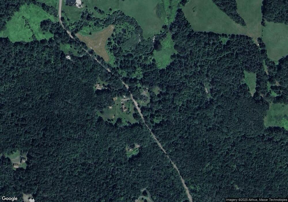
Map
Nearby Homes
- 220 Hawley Rd
- 0 Sears Rd Unit 73373850
- 374 Watson Spruce Corner Rd
- 240 Beldingville Rd
- 473 N Poland Rd
- 0 John Ford Rd Unit 73403157
- 0 John Ford Rd Unit 73403156
- 0 Spruce Corner Rd Unit 73244975
- 1531 Williamsburg Rd
- 333 Ranney Corner Rd
- 0 Old Stage Rd Unit 73326639
- 230 S Ashfield Rd
- 146 Berkshire Trail W
- 0 Ashfield Rd
- lot 1 Shelburne Falls Rd
- 85 Dacey Rd
- 820 E Guinea Rd
- 0 Pleasant St
- 14 River St
- 0 Upper St