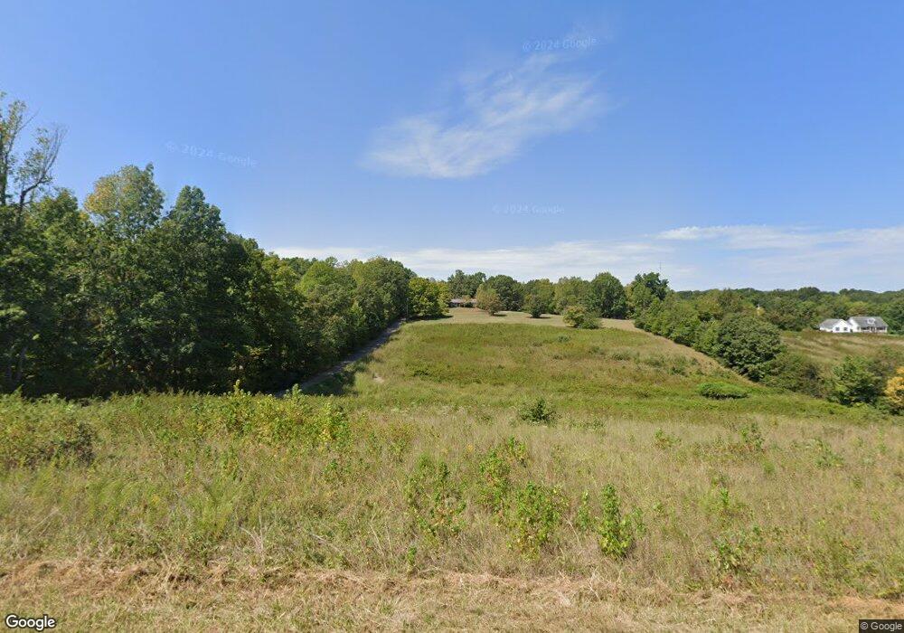
2570 Morrison Ln Clarksville, TN 37040
Estimated Value: $367,000 - $502,381
--
Bed
2
Baths
1,610
Sq Ft
$276/Sq Ft
Est. Value
About This Home
This home is located at 2570 Morrison Ln, Clarksville, TN 37040 and is currently estimated at $444,595, approximately $276 per square foot. 2570 Morrison Ln is a home located in Montgomery County with nearby schools including Cumberland Heights Elementary School, Montgomery Central Middle School, and Montgomery Central High School.
Ownership History
Date
Name
Owned For
Owner Type
Purchase Details
Closed on
Apr 14, 2025
Sold by
Morrison Trampas Rye and Morrison Patricia B
Bought by
Morrison Seth and Sorbello Maria
Current Estimated Value
Purchase Details
Closed on
Dec 4, 2012
Sold by
Morrison Trampas Rye
Bought by
Morrison Patricia B
Purchase Details
Closed on
Jun 1, 2012
Sold by
Morrison Roy
Bought by
Morrison Trampas Rye
Create a Home Valuation Report for This Property
The Home Valuation Report is an in-depth analysis detailing your home's value as well as a comparison with similar homes in the area
Home Values in the Area
Average Home Value in this Area
Purchase History
| Date | Buyer | Sale Price | Title Company |
|---|---|---|---|
| Morrison Seth | -- | None Listed On Document | |
| Morrison Patricia B | -- | -- | |
| Morrison Trampas Rye | -- | -- |
Source: Public Records
Mortgage History
| Date | Status | Borrower | Loan Amount |
|---|---|---|---|
| Previous Owner | Morrison Trampas Rye | $25,000 |
Source: Public Records
Tax History Compared to Growth
Tax History
| Year | Tax Paid | Tax Assessment Tax Assessment Total Assessment is a certain percentage of the fair market value that is determined by local assessors to be the total taxable value of land and additions on the property. | Land | Improvement |
|---|---|---|---|---|
| 2024 | $1,750 | $83,356 | $0 | $0 |
| 2023 | $1,750 | $48,843 | $0 | $0 |
| 2022 | $1,460 | $48,843 | $0 | $0 |
| 2021 | $1,460 | $48,843 | $0 | $0 |
| 2020 | $1,460 | $48,843 | $0 | $0 |
| 2019 | $1,460 | $48,843 | $0 | $0 |
| 2018 | $1,275 | $31,172 | $0 | $0 |
| 2017 | $1,275 | $41,539 | $0 | $0 |
| 2016 | $1,279 | $41,658 | $0 | $0 |
| 2015 | $2,602 | $87,465 | $0 | $0 |
| 2014 | $2,602 | $87,465 | $0 | $0 |
| 2013 | $1,674 | $84,575 | $0 | $0 |
Source: Public Records
Map
Nearby Homes
- 2731 Patricia Ln
- 2544 Highway 48
- 300 Belmont Rd
- 2938 Highway 48
- 1152 Mcclure Rd
- 2117 Ferry Rd
- 2101 Ferry Rd
- 1 Ferry Rd
- 684 Belmont Rd
- 0 Ferry Rd Unit RTC2899020
- 3190 Marthas Chapel Rd
- 750 Old Highway 48
- 2031 Ferry Rd
- 845 Mcclure Rd
- 851 Belmont Rd
- 487 Ridge Top Ct
- 495 Ridge Top Ct
- 490 Ridge Top Ct
- 221 Wayne Hall Rd
- 217 Wayne Hall Rd
- 2582 Morrison Ln
- 2550 Morrison Ln
- 2551 Morrison Ln
- 2600 Morrison Ln
- 375 Salem Ridge Rd
- 2610 Morrison Ln
- 197 Southgate Ln
- 1 Salem Ridge Rd
- 2501 Morrison Ln
- 407 Salem Ridge Rd
- 401 Salem Ridge Rd
- 2621 Morrison Ln
- 395 Salem Ridge Rd
- 367 Salem Ridge Rd
- 175 Southgate Ln
- 390 Salem Ridge Rd
- 254 Rob Rd
- 410 Salem Ridge Rd
- 318 Rob Rd
- 300 Rob Rd
