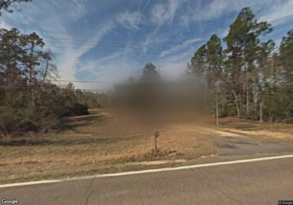
25701 Highway 613 Lucedale, MS 39452
Estimated Value: $178,874 - $243,000
Studio
--
Bath
1,312
Sq Ft
$164/Sq Ft
Est. Value
About This Home
This home is located at 25701 Highway 613, Lucedale, MS 39452 and is currently estimated at $215,625, approximately $164 per square foot. 25701 Highway 613 is a home with nearby schools including East Central Lower Elementary School, East Central Upper Elementary School, and East Central Middle School.
Ownership History
Date
Name
Owned For
Owner Type
Purchase Details
Closed on
Sep 2, 2022
Sold by
Harry Todd Charles and Har Tracy
Bought by
Austin Emily Jeanette
Current Estimated Value
Home Financials for this Owner
Home Financials are based on the most recent Mortgage that was taken out on this home.
Original Mortgage
$125,000
Outstanding Balance
$119,049
Interest Rate
5.54%
Mortgage Type
New Conventional
Estimated Equity
$96,576
Purchase Details
Closed on
Dec 29, 2021
Sold by
Harry Tracey M
Bought by
Todd C & T M Harry Lt
Create a Home Valuation Report for This Property
The Home Valuation Report is an in-depth analysis detailing your home's value as well as a comparison with similar homes in the area
Purchase History
| Date | Buyer | Sale Price | Title Company |
|---|---|---|---|
| Austin Emily Jeanette | -- | None Listed On Document | |
| Todd C & T M Harry Lt | -- | None Available |
Source: Public Records
Mortgage History
| Date | Status | Borrower | Loan Amount |
|---|---|---|---|
| Open | Austin Emily Jeanette | $125,000 |
Source: Public Records
Tax History
| Year | Tax Paid | Tax Assessment Tax Assessment Total Assessment is a certain percentage of the fair market value that is determined by local assessors to be the total taxable value of land and additions on the property. | Land | Improvement |
|---|---|---|---|---|
| 2025 | $804 | $9,290 | $1,495 | $7,795 |
| 2024 | $804 | $12,071 | $2,181 | $9,890 |
| 2023 | $1,449 | $12,071 | $2,181 | $9,890 |
| 2022 | $1,408 | $12,070 | $0 | $0 |
| 2021 | $0 | $7,351 | $7,351 | $0 |
| 2020 | $0 | $7,351 | $1,347 | $6,004 |
| 2019 | $0 | $7,351 | $1,347 | $6,004 |
| 2018 | $0 | $7,351 | $1,347 | $6,004 |
| 2017 | $0 | $7,351 | $1,347 | $6,004 |
| 2016 | $0 | $7,072 | $1,081 | $5,991 |
| 2015 | -- | $65,360 | $10,810 | $54,550 |
| 2014 | -- | $6,536 | $1,081 | $5,455 |
| 2013 | -- | $6,536 | $1,081 | $5,455 |
Source: Public Records
Map
Nearby Homes
- 0 Hwy 613 Unit 4108899
- 24997 Eastwood Ln
- 24900 Highway 613
- 125 Mulberry Dr
- 6902 Tanner Williams Rd
- 0 Tanner Williams Unit 4124647
- 278 Cowart Rd
- 6909 Tanner Williams Rd
- 5901 Lum Reeves Rd
- 7345 Amberwood Ln
- 0 Ramie Farm Rd
- 24023 Robert e Lee Rd
- 7333 Amberwood Ln Unit DRO
- 0 Tanner Williams Rd -Parcel 1
- 24040 Robert e Lee Rd
- 7005 Whites Farm Rd
- 0 Tanner Williams Rd -Parcel 8
- 2538 Timber Ln
- 26460 Billy Hinton Rd
- 1233 Tannertown Rd
- 25729 Highway 613
- 25625 Highway 613
- 25655 Highway 613
- 25700 Highway 613
- 25801 Highway 613
- 25601 Highway 613
- 25809 Highway 613
- 0 Hwy 613 Unit 4123325
- 0 Hwy 613 Unit 4089086
- 0 Hwy 613 Unit 4038403
- 0 Hwy 613 Unit 3350362
- 0 Hwy 613 Unit 3376363
- 5613 Wesley Powell Rd
- 5713 Wesley Powell Rd
- 5712 Davis Sawmill Rd
- 5601 Wesley Powell Rd
- 26000 Highway 613
- 5617 Wesley Powell Rd
- 5900 Davis Sawmill Rd
- 33 Ac. Wesley Powell Rd
Your Personal Tour Guide
Ask me questions while you tour the home.