25702 Tonganoxie Rd Leavenworth, KS 66048
Estimated Value: $367,000 - $440,000
4
Beds
3
Baths
1,528
Sq Ft
$262/Sq Ft
Est. Value
About This Home
This home is located at 25702 Tonganoxie Rd, Leavenworth, KS 66048 and is currently estimated at $399,906, approximately $261 per square foot. 25702 Tonganoxie Rd is a home located in Leavenworth County with nearby schools including Lansing Elementary School, Lansing Middle 6-8, and Lansing High 9-12.
Ownership History
Date
Name
Owned For
Owner Type
Purchase Details
Closed on
Jun 1, 2021
Sold by
Johnson Brice H
Bought by
Brice H Johnson Living Trust
Current Estimated Value
Purchase Details
Closed on
Jul 23, 2010
Sold by
Sinclair Mark E and Sinclair Joelynn K
Bought by
Johnson Brice H
Home Financials for this Owner
Home Financials are based on the most recent Mortgage that was taken out on this home.
Original Mortgage
$159,200
Interest Rate
4.69%
Mortgage Type
New Conventional
Create a Home Valuation Report for This Property
The Home Valuation Report is an in-depth analysis detailing your home's value as well as a comparison with similar homes in the area
Home Values in the Area
Average Home Value in this Area
Purchase History
| Date | Buyer | Sale Price | Title Company |
|---|---|---|---|
| Brice H Johnson Living Trust | -- | None Listed On Document | |
| Johnson Brice H | $199,000 | Tri-County Title & Abstract Ll |
Source: Public Records
Mortgage History
| Date | Status | Borrower | Loan Amount |
|---|---|---|---|
| Previous Owner | Johnson Brice H | $159,200 |
Source: Public Records
Tax History Compared to Growth
Tax History
| Year | Tax Paid | Tax Assessment Tax Assessment Total Assessment is a certain percentage of the fair market value that is determined by local assessors to be the total taxable value of land and additions on the property. | Land | Improvement |
|---|---|---|---|---|
| 2025 | $4,238 | $39,495 | $7,625 | $31,870 |
| 2024 | $4,010 | $37,607 | $7,035 | $30,572 |
| 2023 | $4,010 | $37,099 | $7,035 | $30,064 |
| 2022 | $3,891 | $34,753 | $6,020 | $28,733 |
| 2021 | $3,534 | $31,119 | $5,152 | $25,967 |
| 2020 | $3,267 | $28,336 | $4,951 | $23,385 |
| 2019 | $3,244 | $28,083 | $4,606 | $23,477 |
| 2018 | $2,752 | $23,897 | $3,686 | $20,211 |
| 2017 | $2,762 | $23,897 | $3,498 | $20,399 |
| 2016 | $2,642 | $22,905 | $3,456 | $19,449 |
| 2015 | -- | $21,961 | $3,456 | $18,505 |
| 2014 | -- | $21,321 | $3,456 | $17,865 |
Source: Public Records
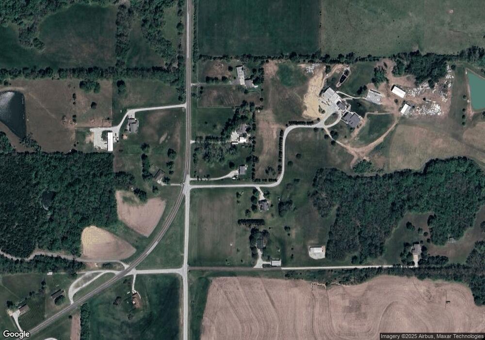
Map
Nearby Homes
- Lot 6 163rd St
- 16430 Dana Ln
- 25030 177th Terrace
- 25055 Woodridge Cir
- 17860 Clearview Dr
- 24450 171st St
- 00000 Gilman Rd
- 17739 Eisenhower Rd
- 17096 Eisenhower Rd
- 0000 Eisenhower Rd
- 26277 187th St
- 16055 W Eisenhower Rd
- 15915 Eisenhower Rd
- 00000 Michals Rd
- 2151 Shenandoah Dr
- 2150 Shenandoah Dr
- 1605 Shadow Dr
- 000 4-H Rd
- 3703 Clayton Dr
- 1221 S Desoto Rd
- 25726 Tonganoxie Dr
- 25726 Tonganoxie Dr
- 25652 171st St
- 25673 Tonganoxie Dr
- 00000 171st St
- 25602 171st St
- 25770 Tonganoxie Dr
- 25757 Tonganoxie Dr
- 25680 Tonganoxie Dr
- 00000 Tonganoxie Dr
- 17159 4h Rd
- 25620 171st St
- 25530 Tonganoxie Dr
- 25455 171st St
- 17032 Stranger Rd
- 25501 Tonganoxie Rd
- 17159 Stranger Rd
- 16853 Stranger Rd
- 25392 171st St
- 25488 Tonganoxie Rd