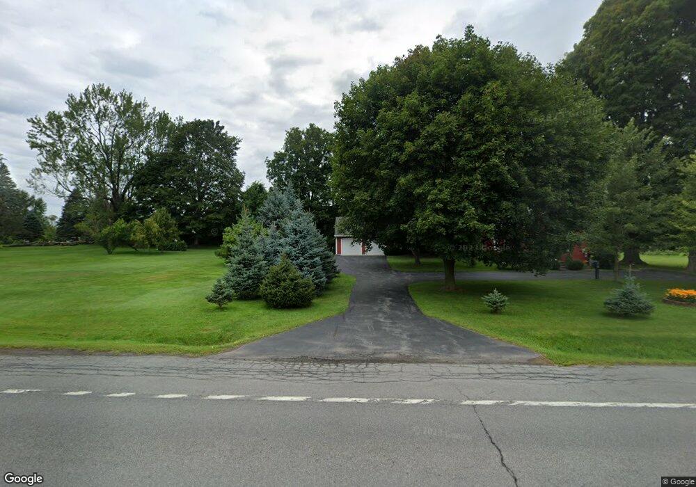
2571 Route 5 E Canastota, NY 13032
Estimated Value: $213,000 - $284,000
1
Bed
2
Baths
1,491
Sq Ft
$166/Sq Ft
Est. Value
About This Home
This home is located at 2571 Route 5 E, Canastota, NY 13032 and is currently estimated at $247,837, approximately $166 per square foot. 2571 Route 5 E is a home with nearby schools including Chittenango High School.
Ownership History
Date
Name
Owned For
Owner Type
Purchase Details
Closed on
Feb 5, 2024
Sold by
Ross Teresa D
Bought by
Brockway Alison J
Current Estimated Value
Home Financials for this Owner
Home Financials are based on the most recent Mortgage that was taken out on this home.
Original Mortgage
$4,750
Outstanding Balance
$4,639
Interest Rate
6.2%
Mortgage Type
FHA
Estimated Equity
$243,198
Purchase Details
Closed on
Apr 20, 2022
Sold by
Cook Edward M
Bought by
2565 Route 5 Llc
Create a Home Valuation Report for This Property
The Home Valuation Report is an in-depth analysis detailing your home's value as well as a comparison with similar homes in the area
Home Values in the Area
Average Home Value in this Area
Purchase History
| Date | Buyer | Sale Price | Title Company |
|---|---|---|---|
| Brockway Alison J | $190,000 | Vanguard Research & Title | |
| 2565 Route 5 Llc | -- | New Title Company Name |
Source: Public Records
Mortgage History
| Date | Status | Borrower | Loan Amount |
|---|---|---|---|
| Open | Brockway Alison J | $4,750 | |
| Open | Brockway Alison J | $177,859 |
Source: Public Records
Tax History
| Year | Tax Paid | Tax Assessment Tax Assessment Total Assessment is a certain percentage of the fair market value that is determined by local assessors to be the total taxable value of land and additions on the property. | Land | Improvement |
|---|---|---|---|---|
| 2024 | $3,768 | $98,000 | $23,900 | $74,100 |
| 2023 | $3,769 | $98,000 | $23,900 | $74,100 |
| 2022 | $3,622 | $98,000 | $23,900 | $74,100 |
| 2021 | $3,597 | $98,000 | $23,900 | $74,100 |
| 2020 | $1,972 | $98,000 | $23,900 | $74,100 |
| 2019 | $1,860 | $98,000 | $23,900 | $74,100 |
| 2018 | $1,860 | $98,000 | $23,900 | $74,100 |
| 2017 | $1,886 | $98,000 | $23,900 | $74,100 |
| 2016 | $1,903 | $98,000 | $23,900 | $74,100 |
| 2015 | -- | $98,000 | $23,900 | $74,100 |
| 2014 | -- | $98,000 | $23,900 | $74,100 |
Source: Public Records
Map
Nearby Homes
- Lot 21 County Route 26
- 0 Nelson Rd Unit S1667844
- 6628 Creek Rd
- 8922 Eddy Rd
- Lot #3 New Yorker Ave
- Lot #4 New Yorker Ave
- 7080 Verna Dr
- 112 Clark Cir
- 125 Getmac Ave
- 6697 Nelson Rd
- 107 Park St
- 112 Prospect St
- 121 Chapel St
- 109 Macarthur Place
- 117 W Chapel St
- 0 First St Unit S1626347
- 0 First St Unit S1561316
- 303 Diamond St
- 110 Spencer St
- 0 Edward Ohara Ave Unit S1418644
- 2571 New York 5
- 1 Kimberlee Dr
- 17 Elia Cir
- 2559 Route 5 E
- 15 Elia Cir
- 3 Kimberlee Dr
- 3 Kimberlee Dr
- 2 Kimberlee Dr
- 16 Elia Cir
- 2555 State Route 5
- 13 Elia Cir
- 0 Kimberlee Dr Unit S325778
- 2564 E Seneca Turnpike E
- 5 Kimberlee Dr
- 4 Kimberlee Dr
- 21 Elia Cir
- 6 Kimberlee Dr
- 4 Deerfield Dr
- 4 Deerfield Rd
- 7 Kimberlee Dr
Your Personal Tour Guide
Ask me questions while you tour the home.